Road Stream Crossing Site AUS_RO003
Au Sable River Watershed, Robinson Creek
Robinson Lake Rd
Higgins Twp,
Roscommon County
Information collected by:
Site Location
GPS Coordinates: 44.46558
, -84.58755
T24N
R02W
Sec 20
Owned by State
Fish Passability 0
Structure is NOT Perched
Total Erosion: 6.8748 tons/year
Severity: Severe
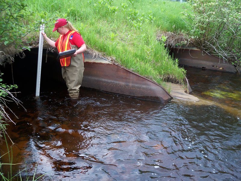
Year Inventoried: 2013
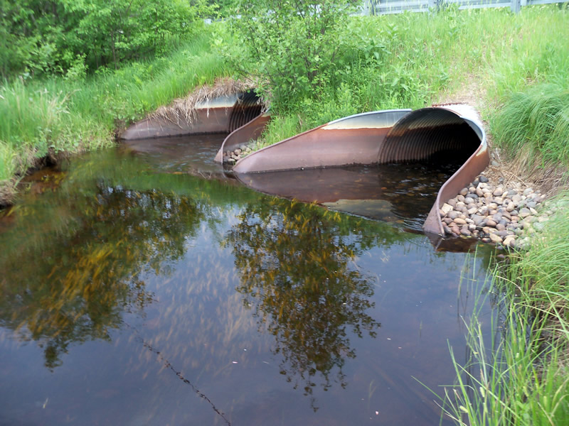
Inlet
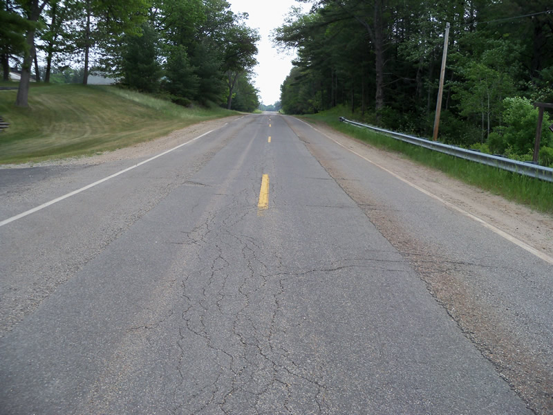
Outlet
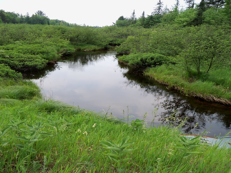
Upstream Conditions
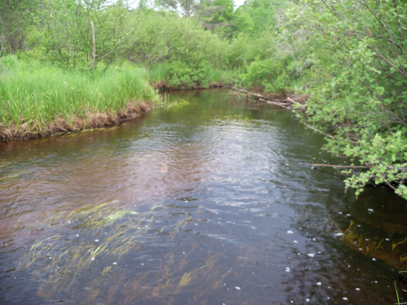
Downstream Conditions
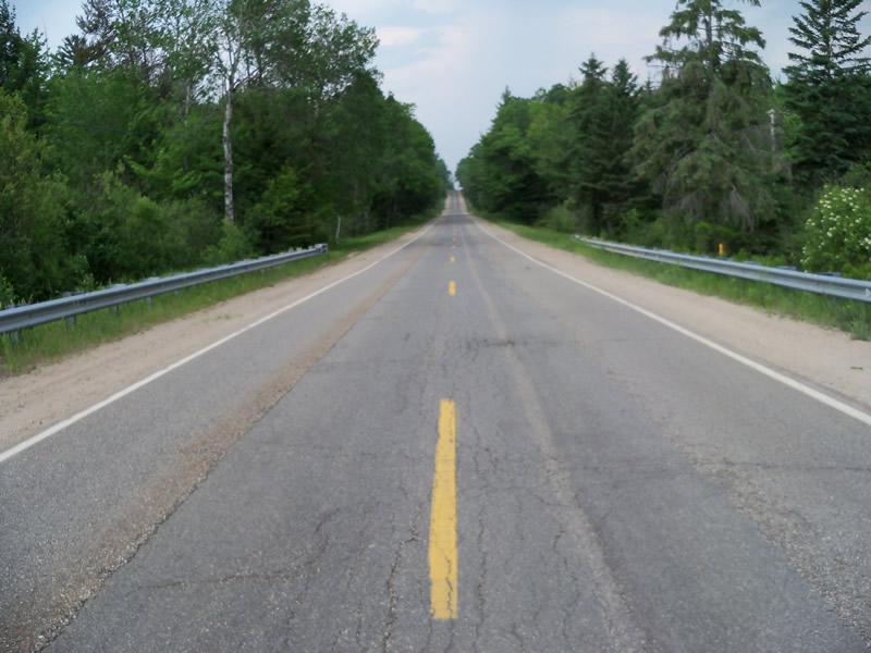
Road Approach - Left
Road Approach - Right
Crossing Information
Type of Crossing: culvert(s)
Number of Structures: 2
Structure Shape: Ellipse
Inlet Type: Apron
Outlet Type: Outlet Apron
Structure Material: Metal
Structure Substrate: Rock
General Conditions: Fair
Multiple Culverts/Spans | ||||
Culvert/Span | Width | Length | Height | Material |
1 |
5 ft. |
65 ft. |
3.7 ft. |
Metal |
Structure Interior: corrugated
Dimensions of Structure: Length 65 ft.
, Width 5 ft.
, Height 3.8 ft.
Structure is NOT Perched
Structure Inlet
Water Depth: 0.7 ft.
Embedded Depth of Structure: 0.2 ft.
Water Velocity*: 3.01 ft./sec.
Structure Outlet
Water Depth: 0.8 ft.
Embedded Depth of Structure: 0.2 ft.
Water Velocity*: 2.22 ft./sec.
*Water Velocities were measured at the Surface
(with Float Test)
Stream Information
Stream Flow: Less than Bankfull
Scour Pool: Length 0 ft.
, Width 0 ft.
, Depth 0 ft.
Upstream Pond: Length 0 ft.
, Width 0 ft.
, Depth 0 ft.
Riffle Information
Water Depth: 1.3 ft.
Bankfull Width: 18.6 ft.
Wetted Width: 14.9 ft.
Water Velocity: 1.18 ft./sec.
(Measured with Float Test)
Dominant Substrate: Sand
Road Information
Paved
County Road
Road Condition: Fair
Road Width at Culvert: 34.5 ft.
Location of Low Point: At Stream
Runoff Path: Ditch
Approaches
Left Approach
Length: 1000 ft.
Slope: More Than 10%
Vegetation: Heavy
LS Factor: 5.785
Erosion: 6.5978 tons/year
Right Approach
Length: 480 ft.
Slope: 1% to 5%
Vegetation: Heavy
LS Factor: 0.496
Erosion: 0.2715 tons/year
Erosion Information
Total Erosion at Crossing: 6.8748 tons/year
Extent of Erosion: Minor
Location of Erosion | Erosion Dimensions | Eroded Material | Material Eroded | Total Erosion | ||
facing downstream | Length | Width | Depth | Reaching Stream? | (tons/year) | |
Left Streambank |
5 ft. |
8 ft. |
1 ft. |
yes |
Sand |
0.0055 |
Summary Information
Fish Passability 0
These non-native species were observerd at this site: Spotted Knapweed
�