Road Stream Crossing Site AUS_RO001
Au Sable River Watershed, South Branch Au Sable River
M-18
Higgins Twp,
Roscommon County
Information collected by:
Site Location
GPS Coordinates: 44.50095
, -84.58968
T24N
R02W
Sec 5
Owned by Private
Fish Passability 0
Structure is NOT Perched
Total Erosion: 0.1833 tons/year
Severity: Severe
Year Inventoried: 2013
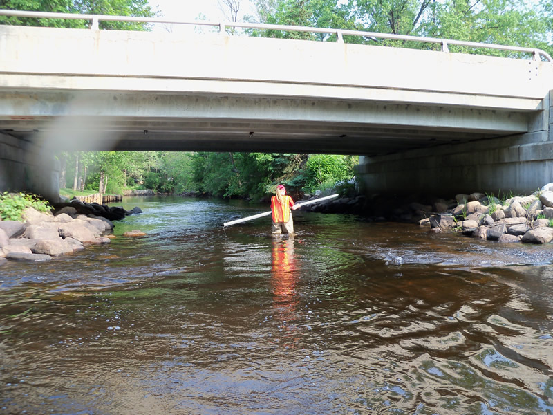
Inlet
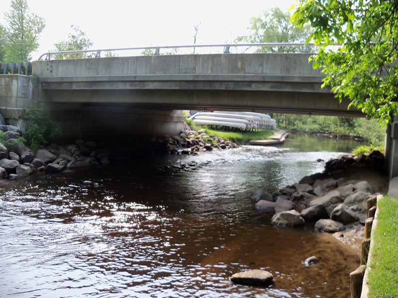
Outlet
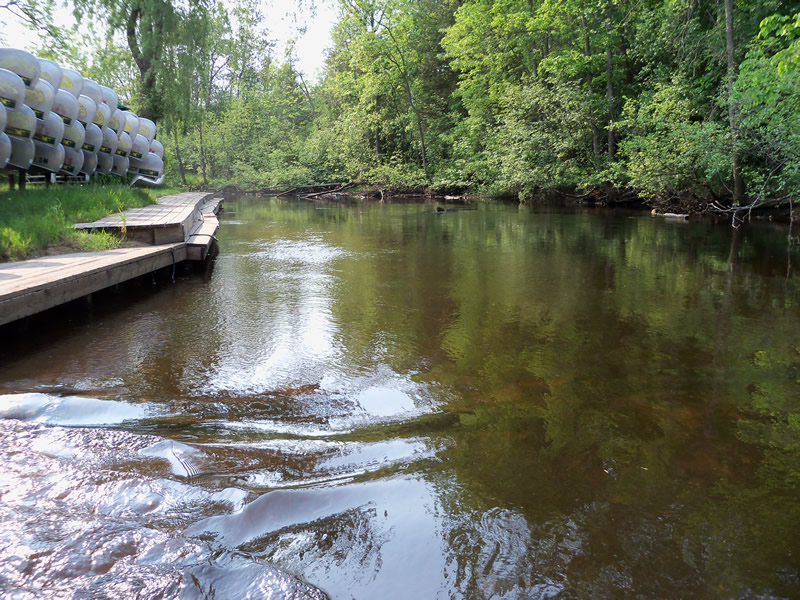
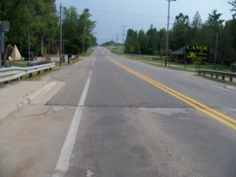
Upstream Conditions
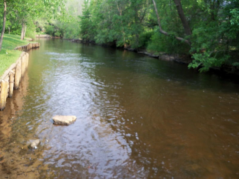
Downstream Conditions
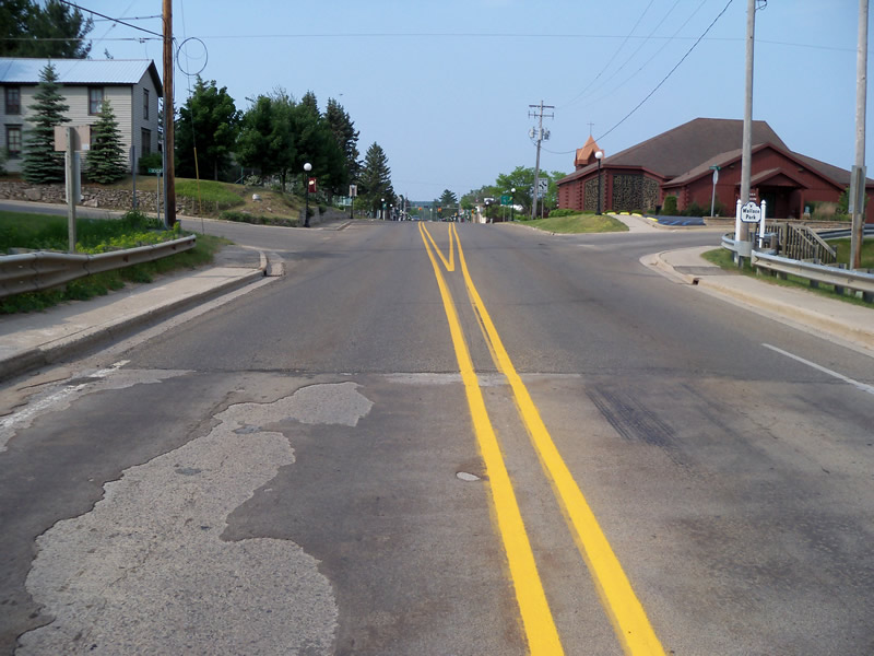
Road Approach - Left
Road Approach - Right
Crossing Information
Type of Crossing: Bridge
Structure Shape: Open Bottom Square/Rectangle
Inlet Type: Wingwall 10-30 Degree
Outlet Type: At Stream Grade
Structure Material: Concrete
Structure Substrate: Mixture
General Conditions: Fair
Structure Interior: smooth
Dimensions of Structure: Length 50 ft.
, Width 50.2 ft.
, Height 10 ft.
Structure is NOT Perched
Structure Inlet
Water Depth: 1.7 ft.
Embedded Depth of Structure: 0 ft.
Water Velocity*: 3.81 ft./sec.
Structure Outlet
Water Depth: 2 ft.
Embedded Depth of Structure: 0 ft.
Water Velocity*: 3.57 ft./sec.
*Water Velocities were measured at the Surface
(with Float Test)
Stream Information
Stream Flow: Less than Bankfull
Scour Pool: Length 67 ft.
, Width 38 ft.
, Depth 2.5 ft.
Upstream Pond: Length 0 ft.
, Width 0 ft.
, Depth 0 ft.
Riffle Information
Water Depth: 2 ft.
Bankfull Width: 61 ft.
Wetted Width: 51 ft.
Water Velocity: 1.03 ft./sec.
(Measured with Float Test)
Dominant Substrate: Cobble
Road Information
Paved
County Road
Road Condition: Good
Road Width at Culvert: 29.5 ft.
Location of Low Point: Other
Runoff Path: Roadway
Fill Depth: 0 ft.
Slope: Vertical
Fill Depth: 0 ft.
Slope: Vertical
Approaches
Left Approach
Length: 332 ft.
Slope: 1% to 5%
Vegetation: Partial
LS Factor: 0.566
Erosion: 0.1833 tons/year
Right Approach
Length: 0 ft.
Slope: Less Than 1%
Vegetation: Partial
LS Factor: 0.05
Erosion: 0 tons/year
Erosion Information
Total Erosion at Crossing: 0.1833 tons/year
Extent of Erosion: Minor
Notes: Along streambank/ man made walking path
Summary Information
Fish Passability 0
A future visit to this site is recommended. Deal with minor stream bank erosion due to access problems.
These non-native species were observerd at this site: Leafy Spurge
�