Road Stream Crossing Site CHAR_CX14
Lake Charlevoix Watershed, Stover Creek
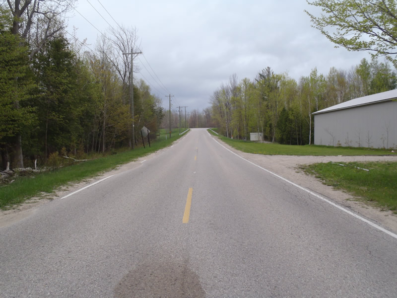
Ferry Ave
Charlevoix Twp,
Charlevoix County
Information collected by:
Site Location
GPS Coordinates: 45.29599
, -85.25131
T34N
R08W
Sec 35
Owned by Private
Total Erosion: 0.3986 tons/year
Severity: Moderate
Year Inventoried: 2011
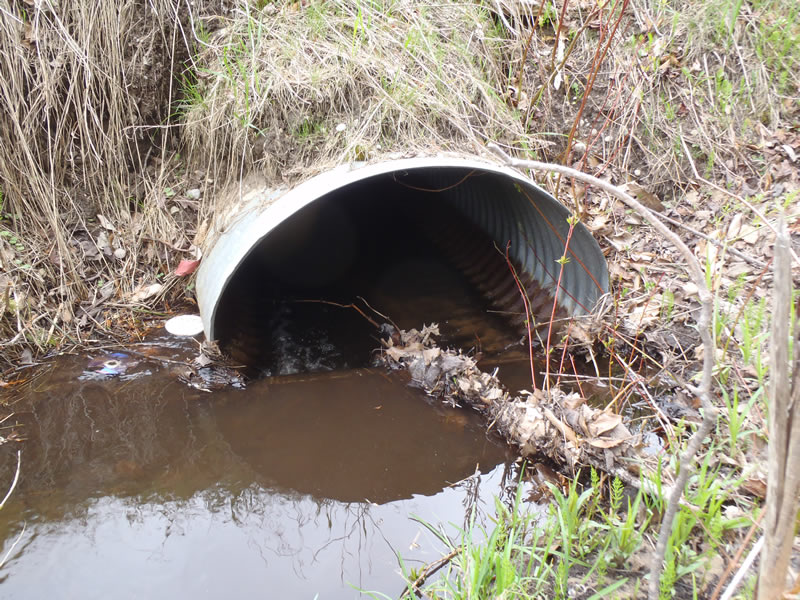
Inlet
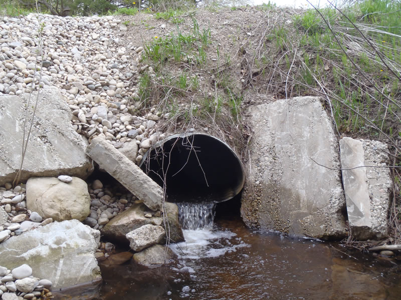
Outlet
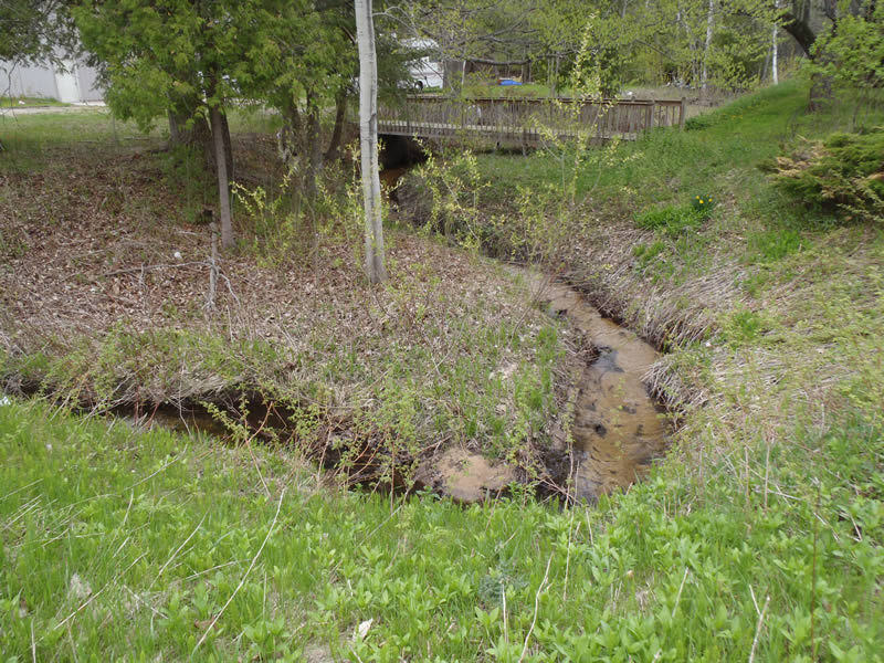
Upstream Conditions
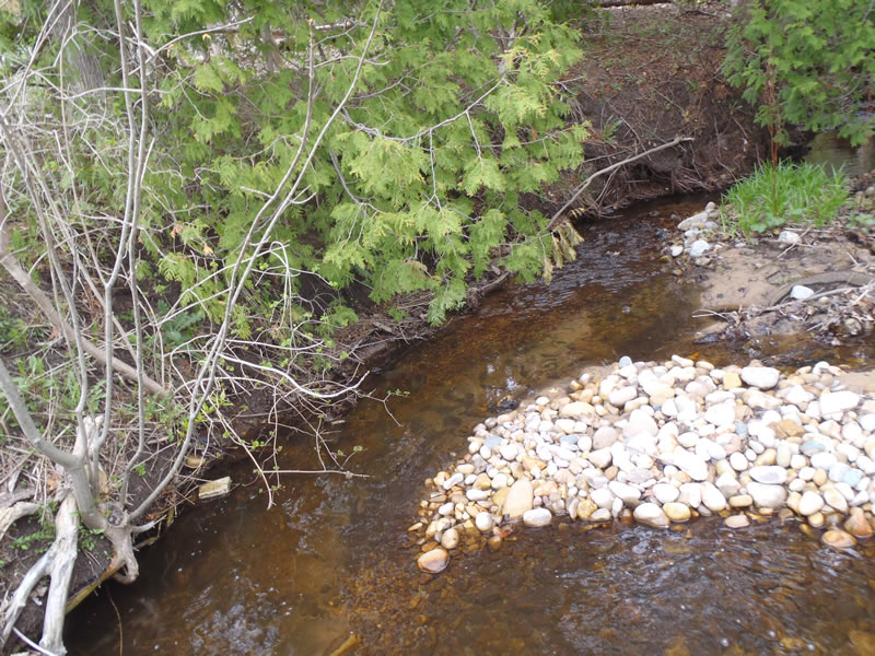
Downstream Conditions

Road Approach - Left
Road Approach - Right
Crossing Information
Type of Crossing: culvert(s)
Number of Structures: 1
Structure Shape: Ellipse
Inlet Type: Projecting
Outlet Type: Freefall into Pool
Structure Material: Metal
Structure Substrate: None
General Conditions: Fair
Structure Interior: corrugated
Dimensions of Structure: Length 50 ft.
, Width 3.5 ft.
, Height 2.5 ft.
Percentage Plugged:
Inlet: 1% to 25%
Outlet: 0%
In Pipe: 0%
Structure Inlet
Water Depth: 0.34 ft.
Embedded Depth of Structure: 0.7 ft.
Water Velocity*: 0.7 ft./sec.
Structure Outlet
Water Depth: 0.2 ft.
Embedded Depth of Structure: 0 ft.
Water Velocity*: 3 ft./sec.
*Water Velocities were measured at the Surface
(with Meter)
Stream Information
Stream Flow: Less than Bankfull
Scour Pool: Length 6.5 ft.
, Width 6 ft.
, Depth 1.7 ft.
Riffle Information
Water Depth: 0.24 ft.
Bankfull Width: 4.6 ft.
Wetted Width: 3.5 ft.
Water Velocity: 0.9 ft./sec.
(Measured with Meter)
Dominant Substrate: Sand
Road Information
Paved
County Road
Road Condition: Good
Road Width at Culvert: 25 ft.
Location of Low Point: At Stream
Runoff Path: Ditch
Embankments
Upstream
Fill Depth: 5 ft.
Slope: Vertical
Downstream
Fill Depth: 6 ft.
Slope: Vertical
Approaches
Left Approach
Length: 1000 ft.
Slope: Less Than 1%
Vegetation: Heavy
LS Factor: 0.05
Erosion: 0.0413 tons/year
Right Approach
Length: 627 ft.
Slope: 1% to 5%
Vegetation: Partial
LS Factor: 0.689
Erosion: 0.3573 tons/year
Erosion Information
Total Erosion at Crossing: 0.3986 tons/year
Extent of Erosion: Minor
Erosion is occurring and corrective actions can be installed to address the problem.
Notes:
Upstream embankment needs vegetation.
Summary Information
Erosion is an area of concern for this site.
�