Road Stream Crossing Site AUS_Al018
Au Sable River Watershed, Curtis Creek
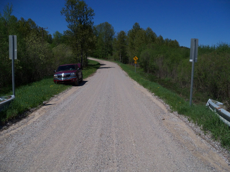
Wissmiller Rd
Curtis Twp,
Alcona County
Information collected by:
Site Location
GPS Coordinates: 44.56697
, -83.86504
T25N
R05E
Sec 8,17
Owned by Private
Fish Passability 0.5
Structure is NOT Perched
Total Erosion: 3.3923 tons/year
Severity: Severe
Year Inventoried: 2013

Site ID
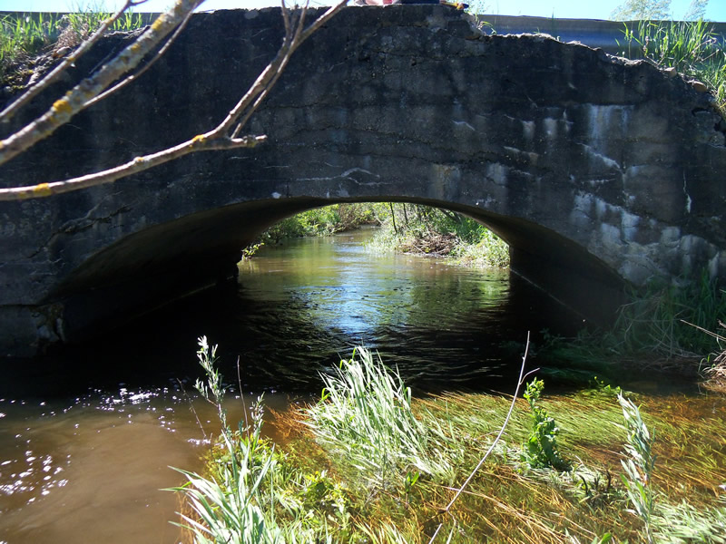
Inlet
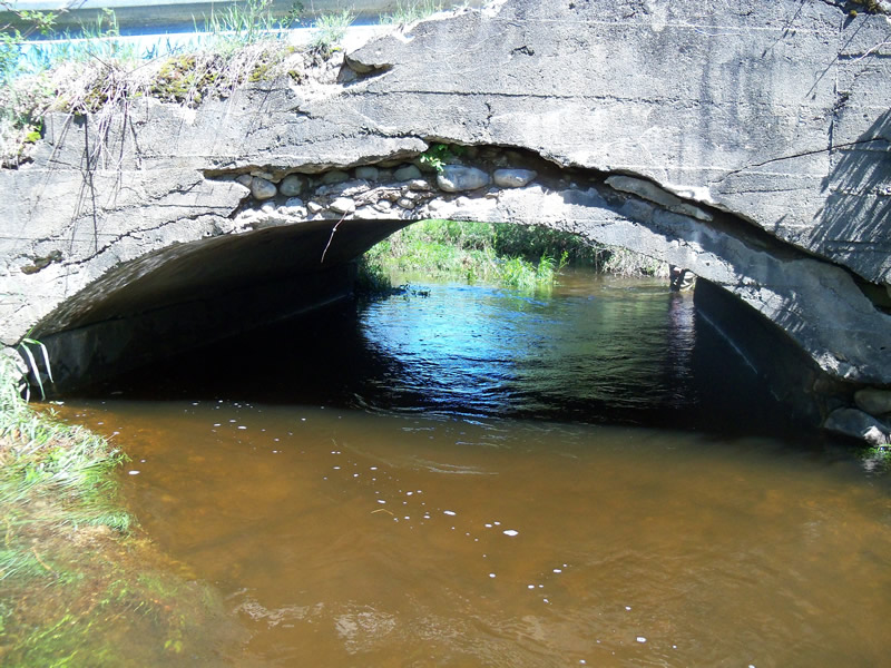
Outlet
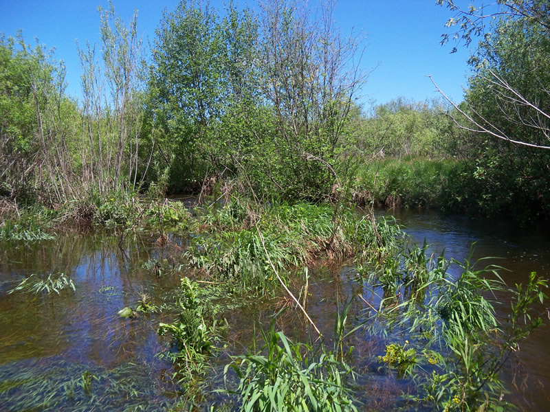
Upstream Conditions
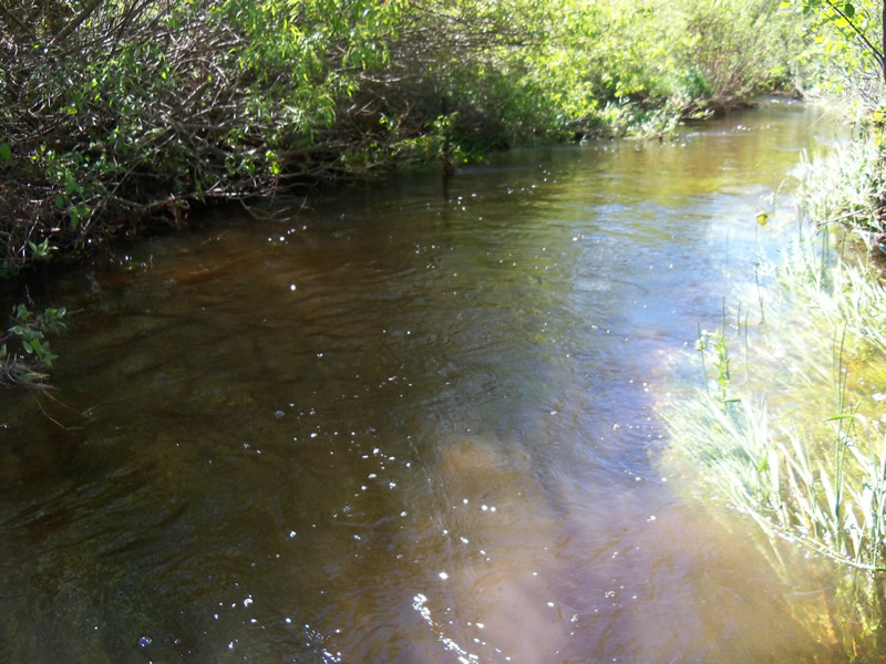
Downstream Conditions

Road Approach - Left
Road Approach - Right
Crossing Information
Type of Crossing: Bridge
Structure Shape: Open Bottom Arch
Inlet Type: Headwall
Outlet Type: At Stream Grade
Structure Material: Concrete
Structure Substrate: Gravel
General Conditions: Poor
Structure Interior: smooth
Dimensions of Structure: Length 21 ft.
, Width 13 ft.
, Height 5.8 ft.
Structure is NOT Perched
Structure Inlet
Water Depth: 3 ft.
Embedded Depth of Structure: 0 ft.
Water Velocity*: 2.2 ft./sec.
Structure Outlet
Water Depth: 2.7 ft.
Embedded Depth of Structure: 0 ft.
Water Velocity*: 2 ft./sec.
*Water Velocities were measured at the Surface
(with Float Test)
Stream Information
Stream Flow: Bankfull
Scour Pool: Length 0 ft.
, Width 0 ft.
, Depth 0 ft.
Upstream Pond: Length 0 ft.
, Width 0 ft.
, Depth 0 ft.
Riffle Information
Water Depth: 1.8 ft.
Bankfull Width: 15 ft.
Wetted Width: 10 ft.
Water Velocity: 2.7 ft./sec.
(Measured with Float Test)
Dominant Substrate: Gravel
Road Information
Gravel
County Road
Road Condition: Good
Road Width at Culvert: 16 ft.
Location of Low Point: At Stream
Runoff Path: Ditch
Embankments
Upstream
Fill Depth: 2.2 ft.
Slope: Vertical
Downstream
Fill Depth: 1.9 ft.
Slope: Vertical
Approaches
Left Approach
Length: 700 ft.
Slope: 1% to 5%
Vegetation: Heavy
LS Factor: 0.535
Erosion: 1.6507 tons/year
Right Approach
Length: 732 ft.
Slope: 1% to 5%
Vegetation: Heavy
LS Factor: 0.54
Erosion: 1.7416 tons/year
Erosion Information
Total Erosion at Crossing: 3.3923 tons/year
Extent of Erosion: Minor
Summary Information
Fish Passability 0.5
A future visit to this site is recommended. Repair bridge
�