Road Stream Crossing Site AUS_AL016
Au Sable River Watershed, Smith Creek
Brodie Rd
Curtis Twp,
Alcona County
Information collected by:
Site Location
GPS Coordinates: 44.54277
, -83.84659
T25N
R05E
Sec 20,21
Owned by Private
Fish Passability 0
Perch Height: 2.5 ft.
Total Erosion: 5.7256 tons/year
3.4 Upstream Miles
Severity: Severe
Year Inventoried: 2013

Site ID
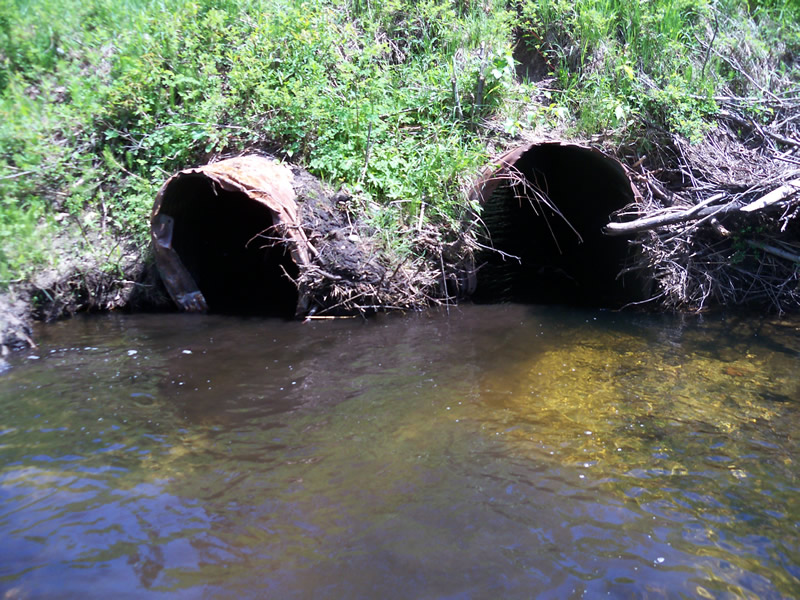
Inlet
Outlet
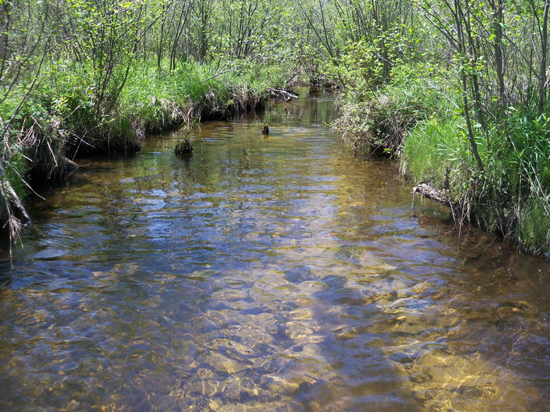
Upstream Conditions
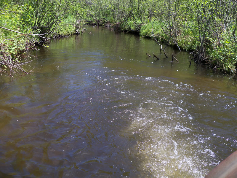
Downstream Conditions
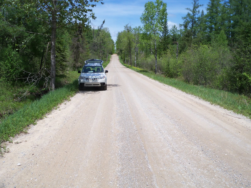
Road Approach - Left
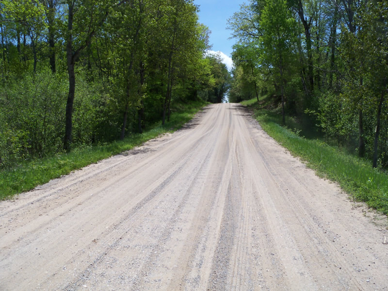
Road Approach - Right
Crossing Information
Type of Crossing: culvert(s)
Number of Structures: 2
Structure Shape: Round
Inlet Type: Projecting
Outlet Type: Freefall into Pool
Structure Material: Metal
Structure Substrate: None
General Conditions: Good
Structure Interior: corrugated
Dimensions of Structure: Length 42 ft.
, Width 4.3 ft.
, Height 3.3 ft.
Perch Height: 2.5 ft.
Structure Inlet
Water Depth: 1.8 ft.
Embedded Depth of Structure: 0 ft.
Water Velocity*: 1.2 ft./sec.
Structure Outlet
Water Depth: 0.6 ft.
Embedded Depth of Structure: 0 ft.
Water Velocity*: 5.7 ft./sec.
*Water Velocities were measured at the Surface
(with Meter)
Scour Pool: Length 42 ft.
, Width 19 ft.
, Depth 3.6 ft.
Upstream Pond: Length 0 ft.
, Width 0 ft.
, Depth 0 ft.
Riffle Information
Water Depth: 1.1 ft.
Bankfull Width: 17 ft.
Wetted Width: 13 ft.
Water Velocity: 1.8 ft./sec.
(Measured with Meter)
Dominant Substrate: Gravel
Road Information
Sand
County Road
Road Condition: Good
Road Width at Culvert: 22 ft.
Location of Low Point: At Stream
Runoff Path: Ditch
Embankments
Upstream
Fill Depth: 3.3 ft.
Slope: 1:2
Downstream
Fill Depth: 3.5 ft.
Slope: More than 1:2
Approaches
Left Approach
Length: 860 ft.
Slope: 1% to 5%
Vegetation: Heavy
LS Factor: 0.556
Erosion: 2.8979 tons/year
Right Approach
Length: 300 ft.
Slope: 6% to 10%
Vegetation: Heavy
LS Factor: 1.4
Erosion: 2.5455 tons/year
Erosion Information
Total Erosion at Crossing: 5.7256 tons/year
Extent of Erosion: Moderate
Location of Erosion | Erosion Dimensions | Eroded Material | Material Eroded | Total Erosion | ||
facing downstream | Length | Width | Depth | Reaching Stream? | (tons/year) | |
Right Upstream Streambank |
14 ft. |
7 ft. |
3 ft. |
yes |
Sandy Loam |
0.2822 |
Summary Information
Fish Passability 0
3.4 Upstream Miles
Fish Passage is an area of concern for this site.
Current is too strong, fish habitat is compromised
A future visit to this site is recommended. Erosion and rusted culvert
�