Road Stream Crossing Site AUS_PR154
Au Sable River Watershed, West Branch Pine River
Kimberlien Rd
Millen Twp,
Alcona County
Information collected by:
Site Location
GPS Coordinates: 44.63016
, -83.65988
T25N
R06E
Sec 24
Owned by Private
Federal
Federal
Fish Passability 0.9
Structure is NOT Perched
Total Erosion: 1.9554 tons/year
Severity: Moderate
Year Inventoried: 2013

Site ID
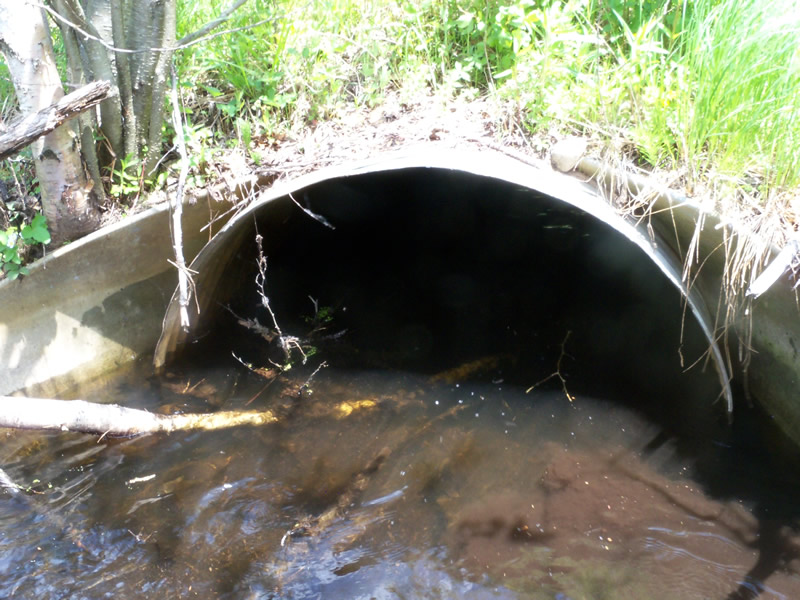
Inlet
Outlet
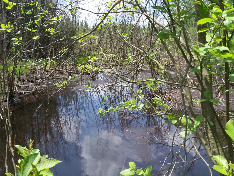
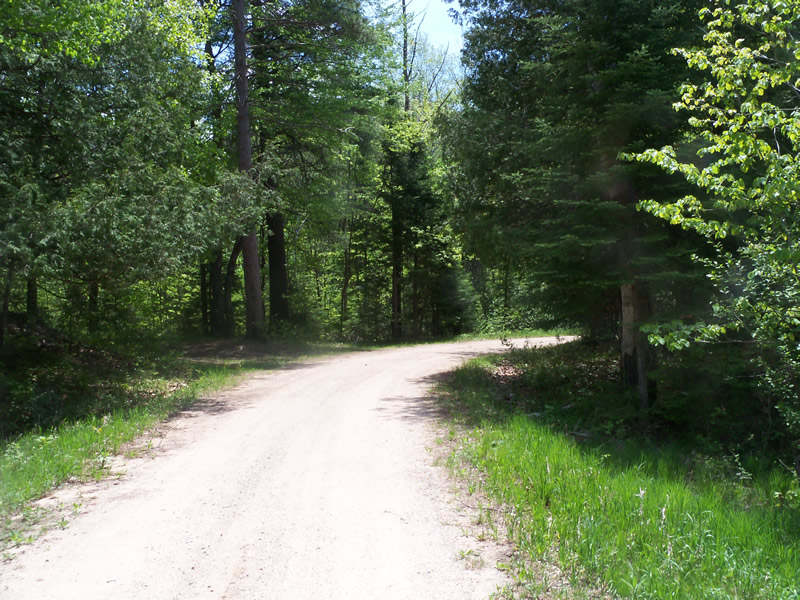
Upstream Conditions
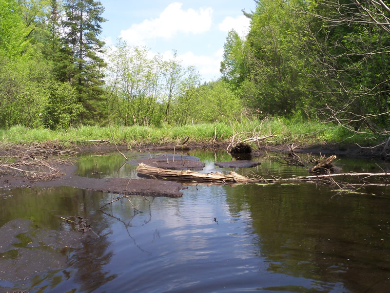
Downstream Conditions
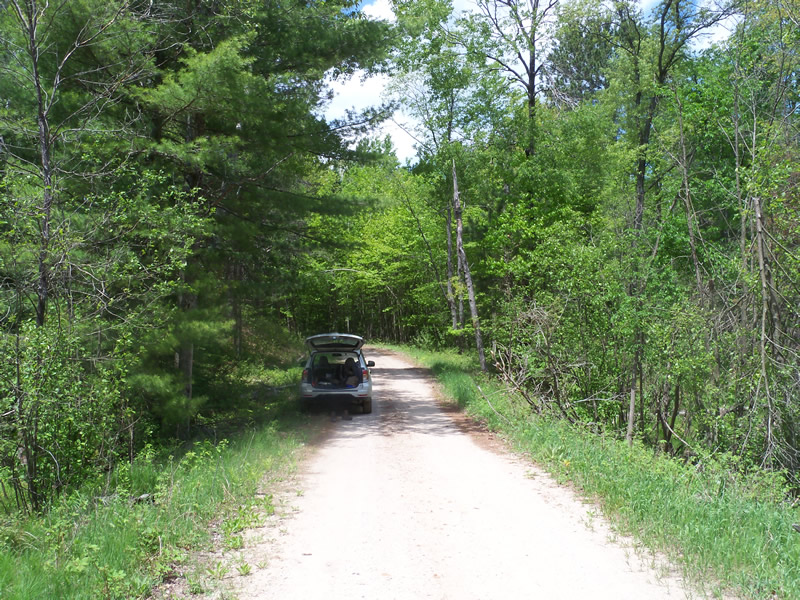
Road Approach - Left
Road Approach - Right
Crossing Information
Type of Crossing: culvert(s)
Number of Structures: 1
Structure Shape: Round
Inlet Type: Apron
Outlet Type: At Stream Grade
Structure Material: Metal
Structure Substrate: Sand
General Conditions: Good
Structure Interior: corrugated
Dimensions of Structure: Length 38.5 ft.
, Width 3.6 ft.
, Height 3.6 ft.
Percentage Plugged:
Inlet: 1% to 25%
Outlet: 0%
In Pipe: 0%
Structure is NOT Perched
Structure Inlet
Water Depth: 1.6 ft.
Embedded Depth of Structure: 0.6 ft.
Water Velocity*: 0.1 ft./sec.
Structure Outlet
Water Depth: 1.5 ft.
Embedded Depth of Structure: 0.4 ft.
Water Velocity*: 0.1 ft./sec.
*Water Velocities were measured at the Surface
(with Meter)
Stream Information
Stream Flow: Less than Bankfull
Scour Pool: Length 0 ft.
, Width 0 ft.
, Depth 0 ft.
Upstream Pond: Length 0 ft.
, Width 0 ft.
, Depth 0 ft.
Riffle Information
Water Depth: 0 ft.
Bankfull Width: 0 ft.
Wetted Width: 0 ft.
Water Velocity: 0 ft./sec.
(Measured with Meter)
Road Information
Sand
Federal Road
Road Condition: Good
Road Width at Culvert: 13 ft.
Location of Low Point: At Stream
Runoff Path: Roadway
Embankments
Upstream
Fill Depth: 2 ft.
Slope: More than 1:2
Downstream
Fill Depth: 2.5 ft.
Slope: More than 1:2
Approaches
Left Approach
Length: 327 ft.
Slope: 1% to 5%
Vegetation: Heavy
LS Factor: 0.465
Erosion: 0.545 tons/year
Right Approach
Length: 730 ft.
Slope: 1% to 5%
Vegetation: Heavy
LS Factor: 0.54
Erosion: 1.4104 tons/year
Erosion Information
Total Erosion at Crossing: 1.9554 tons/year
Summary Information
Fish Passability 0.9
�