Road Stream Crossing Site AUS_PR143
Au Sable River Watershed, McGillis Creek
Millen Rd
Millen Twp,
Alcona County
Information collected by:
Site Location
GPS Coordinates: 44.61949
, -83.61502
T25N
R07E
Sec 29
Owned by Private
Fish Passability 0
Perch Height: 0.2 ft.
Total Erosion: 1.8016 tons/year
1.7 Upstream Miles
Severity: Severe
Year Inventoried: 2013
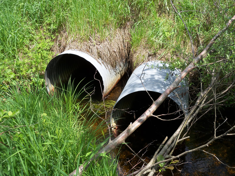
Inlet
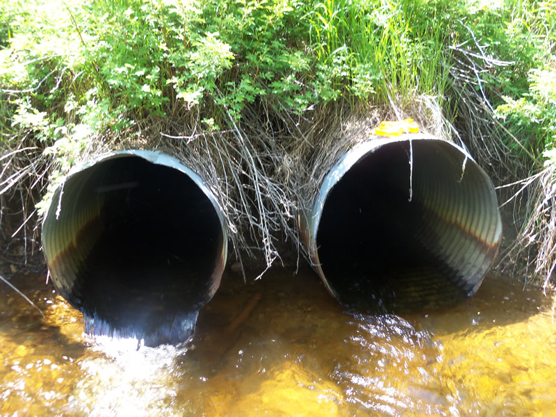
Outlet
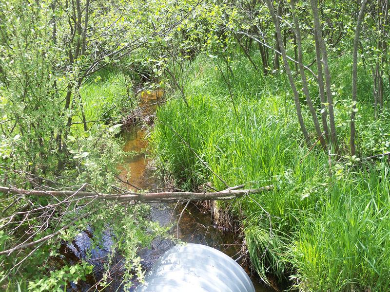
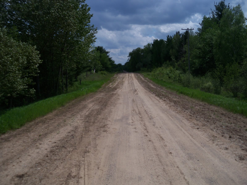
Upstream Conditions
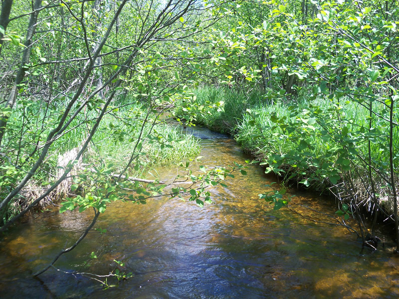
Downstream Conditions
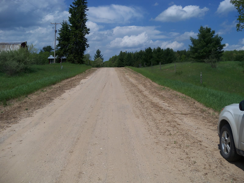
Road Approach - Left
Road Approach - Right
Crossing Information
Type of Crossing: culvert(s)
Number of Structures: 2
Structure Shape: Round
Inlet Type: Projecting
Outlet Type: Freefall into Pool
Structure Material: Metal
Structure Substrate: None
General Conditions: Good
Multiple Culverts/Spans | ||||
Culvert/Span | Width | Length | Height | Material |
1 |
2.6 ft. |
58 ft. |
2.7 ft. |
Metal |
2 |
3 ft. |
58 ft. |
3.2 ft. |
Metal |
Structure Interior: corrugated
Dimensions of Structure: Length 58 ft.
, Width 2.6 ft.
, Height 2.7 ft.
Perch Height: 0.2 ft.
Structure Inlet
Water Depth: 1 ft.
Embedded Depth of Structure: 0 ft.
Water Velocity*: 2.1 ft./sec.
Structure Outlet
Water Depth: 0.5 ft.
Embedded Depth of Structure: 0 ft.
Water Velocity*: 4.5 ft./sec.
*Water Velocities were measured at the Surface
(with Meter)
Stream Information
Stream Flow: Less than 1/2 Bankfull
Scour Pool: Length 0 ft.
, Width 0 ft.
, Depth 0 ft.
Upstream Pond: Length 0 ft.
, Width 0 ft.
, Depth 0 ft.
Riffle Information
Water Depth: 0.4 ft.
Bankfull Width: 14 ft.
Wetted Width: 7 ft.
Water Velocity: 1.2 ft./sec.
(Measured with Meter)
Dominant Substrate: Gravel
Road Information
Sand
County Road
Road Condition: Fair
Road Width at Culvert: 28 ft.
Location of Low Point: At Stream
Runoff Path: Ditch
Embankments
Upstream
Fill Depth: 6 ft.
Slope: 1:2
Downstream
Fill Depth: 5.9 ft.
Slope: 1:1.5
Approaches
Left Approach
Length: 207 ft.
Slope: 1% to 5%
Vegetation: Heavy
LS Factor: 0.431
Erosion: 0.6888 tons/year
Right Approach
Length: 312 ft.
Slope: 1% to 5%
Vegetation: Heavy
LS Factor: 0.462
Erosion: 1.1128 tons/year
Erosion Information
Total Erosion at Crossing: 1.8016 tons/year
Summary Information
Fish Passability 0
1.7 Upstream Miles
Fish Passage is an area of concern for this site.
Water velocity is high
A future visit to this site is recommended. observe if water velocity causes further damage
�