Road Stream Crossing Site AUS_PR140
Au Sable River Watershed, Tributary of Gimlet Creek
Procunier Rd
Millen Twp,
Alcona County
Information collected by:
Site Location
GPS Coordinates: 44.61168
, -83.55263
T26N
R07E
Sec 25,36
Owned by Private
Fish Passability 0.9
Structure is NOT Perched
Total Erosion: 0.5372 tons/year
Severity: Moderate
Year Inventoried: 2013
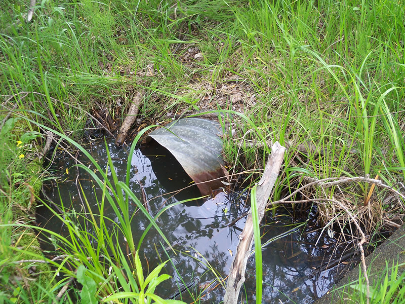
Inlet
Outlet
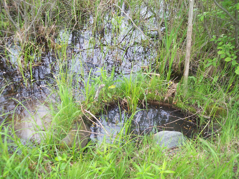
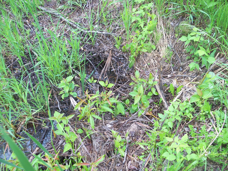
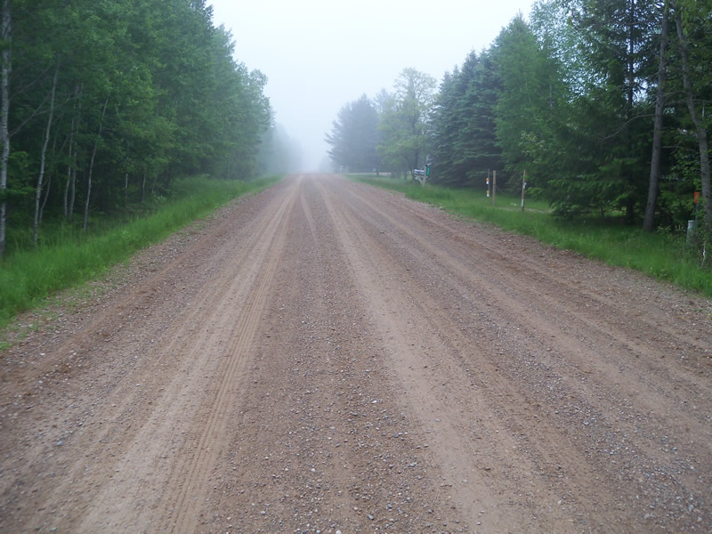
Upstream Conditions
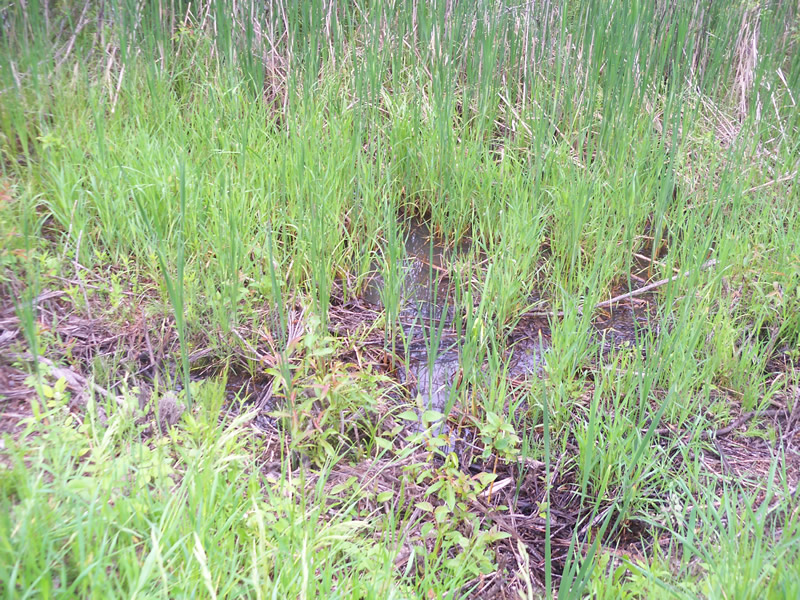
Downstream Conditions
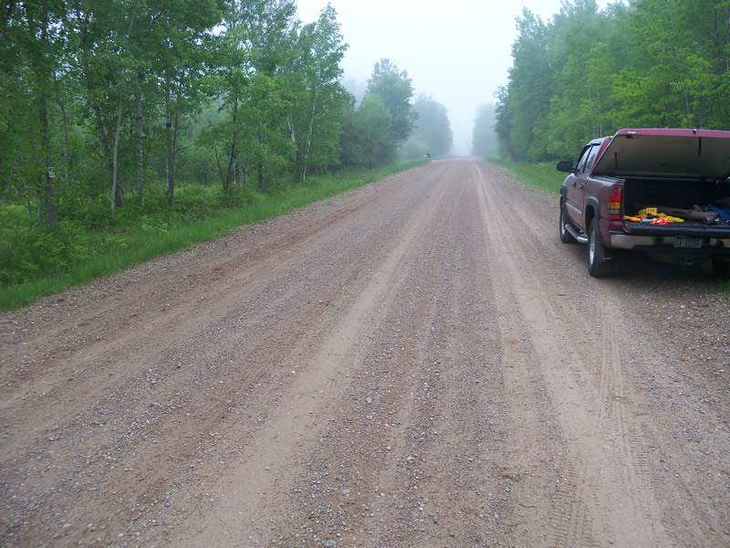
Road Approach - Left
Road Approach - Right
Crossing Information
Type of Crossing: culvert(s)
Number of Structures: 1
Structure Shape: Round
Inlet Type: Projecting
Outlet Type: At Stream Grade
Structure Material: Metal
Structure Substrate: Mixture
General Conditions: Fair
Structure Interior: corrugated
Dimensions of Structure: Length 48 ft.
, Width 1 ft.
, Height 0.9 ft.
Percentage Plugged:
Outlet: 76% to 100%
Structure is NOT Perched
Structure Inlet
Water Depth: 0.8 ft.
Embedded Depth of Structure: 0.2 ft.
Water Velocity*: 0 ft./sec.
Structure Outlet
Water Depth: 0.5 ft.
Embedded Depth of Structure: 0.4 ft.
Water Velocity*: 0 ft./sec.
*Water Velocities were measured at the Surface
(with Float Test)
Scour Pool: Length 0 ft.
, Width 0 ft.
, Depth 0 ft.
Upstream Pond: Length 0 ft.
, Width 0 ft.
, Depth 0 ft.
Riffle Information
Water Depth: 0 ft.
Bankfull Width: 0 ft.
Wetted Width: 0 ft.
Water Velocity: 0 ft./sec.
Road Information
Sand
County Road
Road Condition: Fair
Road Width at Culvert: 30 ft.
Location of Low Point: At Stream
Runoff Path: Roadway
Embankments
Upstream
Fill Depth: 3.3 ft.
Slope: More than 1:2
Downstream
Fill Depth: 3.3 ft.
Slope: More than 1:2
Approaches
Left Approach
Length: 1000 ft.
Slope: Less Than 1%
Vegetation: Heavy
LS Factor: 0.05
Erosion: 0.4132 tons/year
Right Approach
Length: 300 ft.
Slope: Less Than 1%
Vegetation: Heavy
LS Factor: 0.05
Erosion: 0.124 tons/year
Erosion Information
Total Erosion at Crossing: 0.5372 tons/year
Summary Information
Fish Passability 0.9
A future visit to this site is recommended. Unplug culvert
�