Road Stream Crossing Site AUS_PR187
Au Sable River Watershed, Surface drain
Webster Rd
Curtis Twp,
Alcona County
Information collected by:
Site Location
GPS Coordinates: 44.53209
, -83.71305
T25N
R06E
Sec 28
Owned by Private
Structure is NOT Perched
Total Erosion: 1.1595 tons/year
Severity: Moderate
Year Inventoried: 2013

Site ID
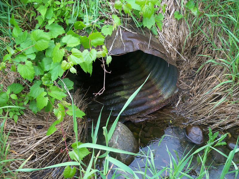
Inlet
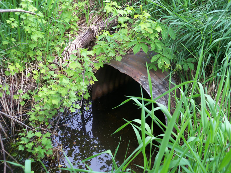
Outlet
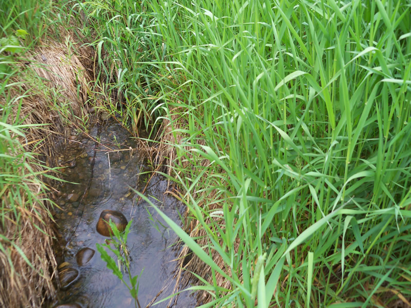
Upstream Conditions
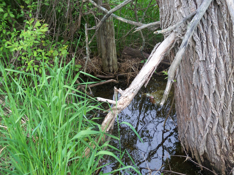
Downstream Conditions
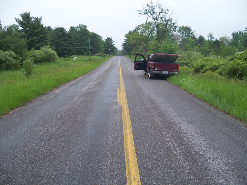
Road Approach - Left
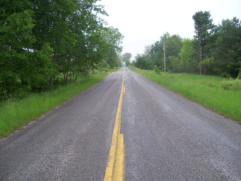
Road Approach - Right
Crossing Information
Type of Crossing: culvert(s)
Number of Structures: 1
Structure Shape: Round
Inlet Type: Projecting
Outlet Type: At Stream Grade
Structure Material: Metal
Structure Substrate: Sand
General Conditions: Fair
Structure Interior: corrugated
Dimensions of Structure: Length 70 ft.
, Width 2.5 ft.
, Height 2.5 ft.
Structure is NOT Perched
Structure Inlet
Water Depth: 0.1 ft.
Embedded Depth of Structure: 0 ft.
Water Velocity*: 0 ft./sec.
Structure Outlet
Water Depth: 0.8 ft.
Embedded Depth of Structure: 0.1 ft.
Water Velocity*: 0 ft./sec.
*Water Velocities were measured at the Surface
(with Meter)
Road Information
Paved
County Road
Road Condition: Good
Road Width at Culvert: 42 ft.
Location of Low Point: At Stream
Runoff Path: Ditch
Embankments
Upstream
Fill Depth: 2.7 ft.
Slope: More than 1:2
Downstream
Fill Depth: 2.7 ft.
Slope: More than 1:2
Approaches
Left Approach
Length: 525 ft.
Slope: 1% to 5%
Vegetation: Heavy
LS Factor: 0.505
Erosion: 0.3681 tons/year
Right Approach
Length: 1000 ft.
Slope: 1% to 5%
Vegetation: Heavy
LS Factor: 0.57
Erosion: 0.7914 tons/year
Erosion Information
Total Erosion at Crossing: 1.1595 tons/year
Summary Information
A future visit to this site is recommended. Culvert rusted, but not rusted though yet
These non-native species were observerd at this site: Autumn Olive
�