Road Stream Crossing Site AUS_PR152
Au Sable River Watershed, Surface Drain
Rearing Pond Rd
Mikado Twp,
Alcona County
Information collected by:
Site Location
GPS Coordinates: 44.56485
, -83.59413
T25N
R07E
Sec 16
Owned by Federal
Fish Passability 0.5
Structure is NOT Perched
Total Erosion: 0.0661 tons/year
Severity: Moderate
Year Inventoried: 2013

Site ID
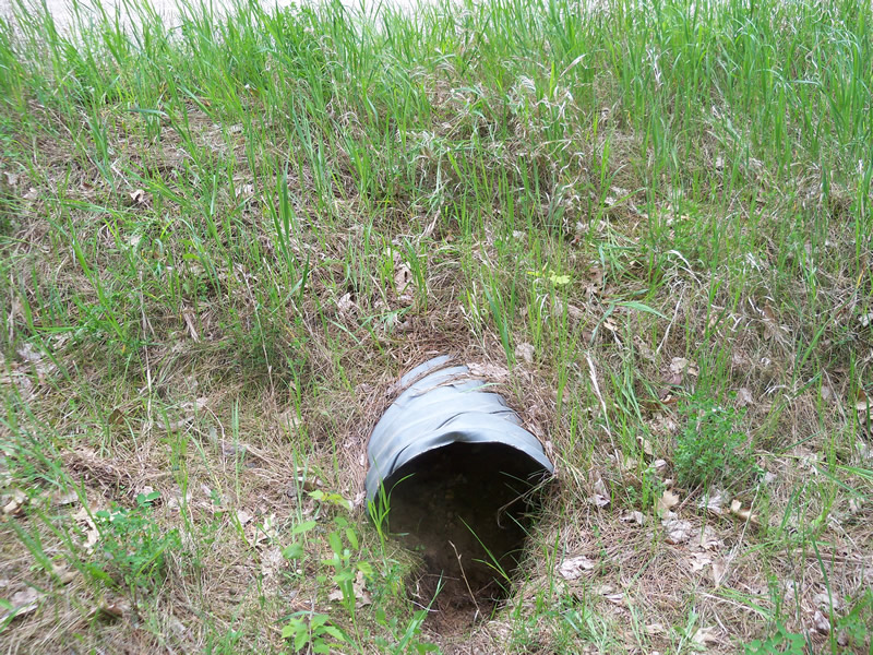
Inlet
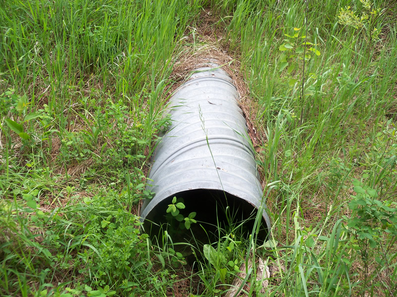
Outlet
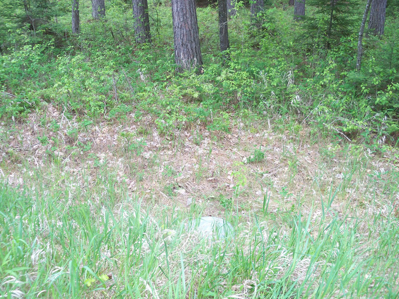
Upstream Conditions
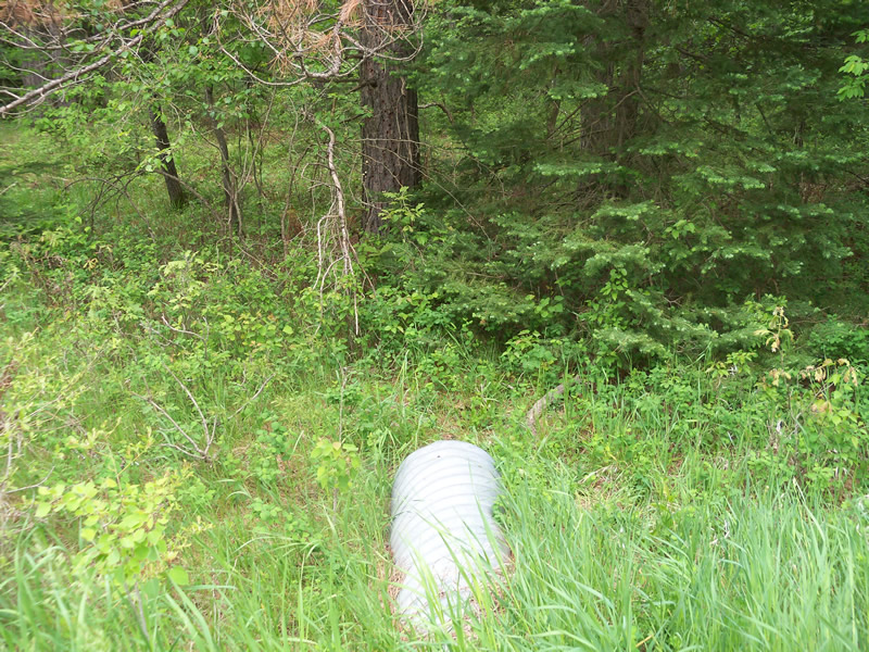
Downstream Conditions
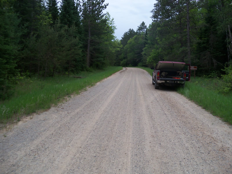
Road Approach - Left
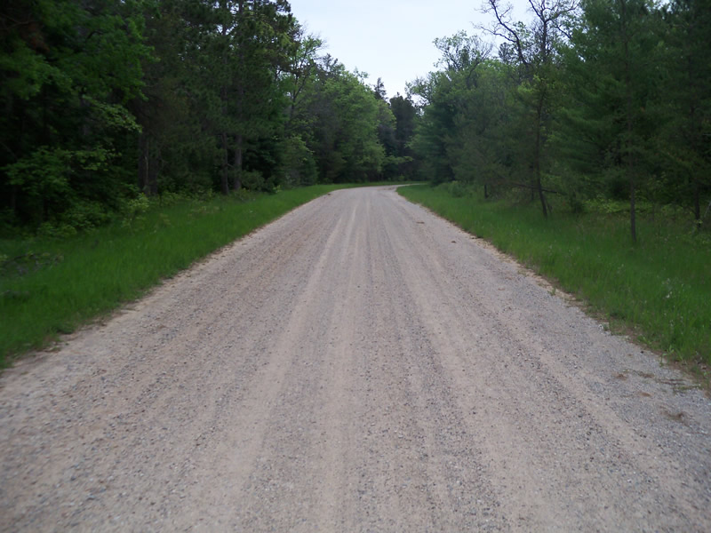
Road Approach - Right
Crossing Information
Type of Crossing: culvert(s)
Number of Structures: 1
Structure Shape: Round
Inlet Type: Projecting
Outlet Type: At Stream Grade
Structure Material: Metal
Structure Substrate: Sand
General Conditions: Good
Structure Interior: corrugated
Dimensions of Structure: Length 39.7 ft.
, Width 1.6 ft.
, Height 1.1 ft.
Structure is NOT Perched
Water Depth: 0 ft.
Embedded Depth of Structure: 0.2 ft.
Water Velocity*: 0 ft./sec.
Water Depth: 0 ft.
Embedded Depth of Structure: 0.5 ft.
Water Velocity*: 0 ft./sec.
*Water Velocities were measured at the Surface
(with Meter)
Additional Comments
Burrow at mouth of inlet
Scour Pool: Length 0 ft.
, Width 0 ft.
, Depth 0 ft.
Upstream Pond: Length 0 ft.
, Width 0 ft.
, Depth 0 ft.
Riffle Information
Water Depth: 0 ft.
Bankfull Width: 0 ft.
Wetted Width: 0 ft.
Water Velocity: 0 ft./sec.
Road Information
Sand
Federal Road
Road Condition: Good
Road Width at Culvert: 19.2 ft.
Location of Low Point: Other
Runoff Path: Ditch
Embankments
Upstream
Fill Depth: 1.6 ft.
Slope: More than 1:2
Downstream
Fill Depth: 1.9 ft.
Slope: More than 1:2
Approaches
Left Approach
Length: 0 ft.
Slope: Less Than 1%
Vegetation: Heavy
LS Factor: 0.05
Erosion: 0 tons/year
Right Approach
Length: 250 ft.
Slope: Less Than 1%
Vegetation: Heavy
LS Factor: 0.05
Erosion: 0.0661 tons/year
Erosion Information
Total Erosion at Crossing: 0.0661 tons/year
Summary Information
Fish Passability 0.5
These non-native species were observerd at this site: Reed Canarygrass, Spotted Knapweed
�