Road Stream Crossing Site AUS_PR188
Au Sable River Watershed, Wallace Creek
Decoste
Curtis Twp,
Alcona County
Information collected by:
Site Location
GPS Coordinates: 44.53175
, -83.66532
T25N
R06E
Sec 26,27
Owned by Private
Fish Passability 0.5
Structure is NOT Perched
Severity: Moderate
Year Inventoried: 2013

Site ID
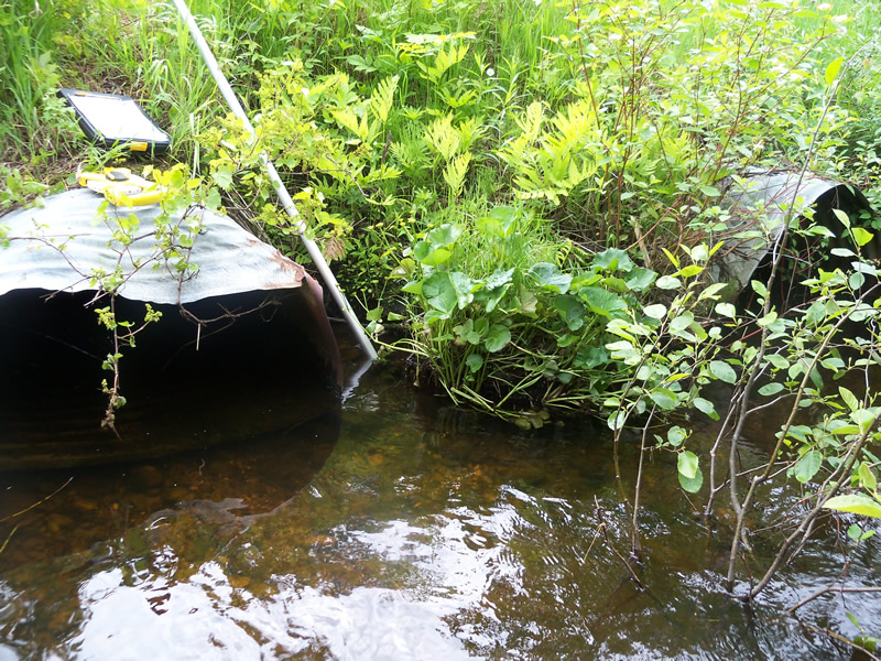
Inlet

Outlet
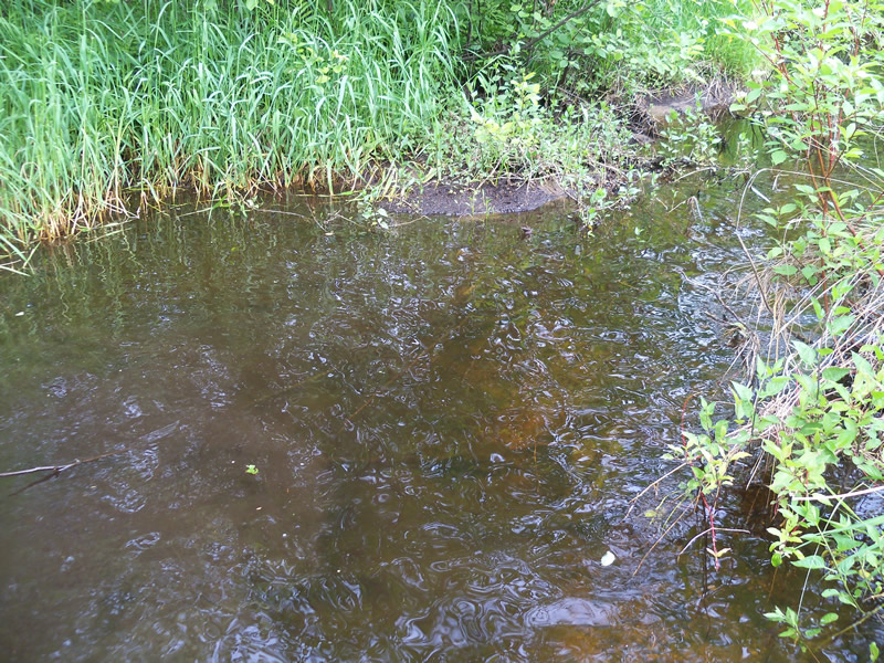
Upstream Conditions
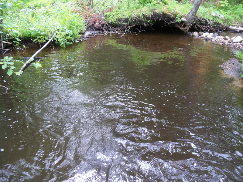
Downstream Conditions
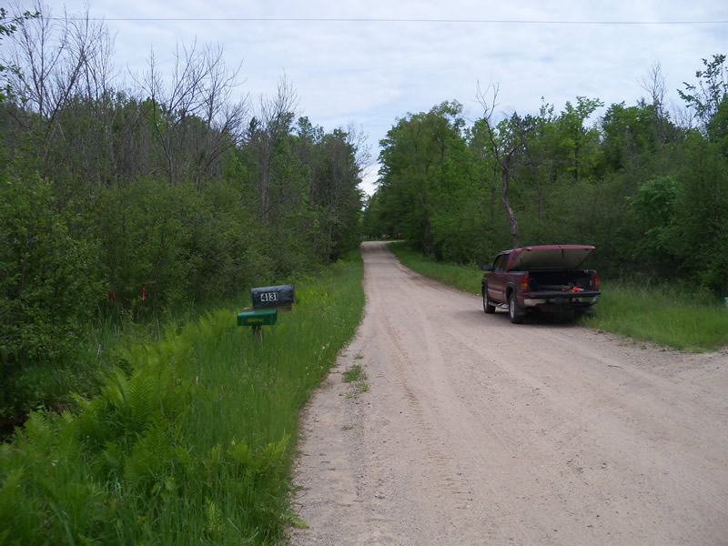
Road Approach - Left
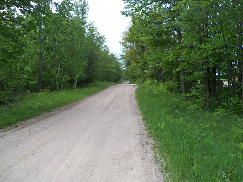
Road Approach - Right
Crossing Information
Type of Crossing: culvert(s)
Number of Structures: 2
Structure Shape: Round
Inlet Type: Projecting
Outlet Type: At Stream Grade
Structure Material: Metal
Structure Substrate: None
General Conditions: Fair
Multiple Culverts/Spans | ||||
Culvert/Span | Width | Length | Height | Material |
1 |
3.5 ft. |
36.3 ft. |
2.3 ft. |
Metal |
2 |
3.5 ft. |
36.3 ft. |
2.4 ft. |
Metal |
Dimensions of Structure: Length 36.5 ft.
, Width 3.5 ft.
, Height 2.3 ft.
Structure is NOT Perched
Structure Inlet
Water Depth: 0.8 ft.
Embedded Depth of Structure: 0 ft.
Water Velocity*: 0.7 ft./sec.
Structure Outlet
Water Depth: 0.5 ft.
Embedded Depth of Structure: 0 ft.
Water Velocity*: 1.1 ft./sec.
(with Meter)
Additional Comments
Rock dam located immediatley downstream of outlet.
Stream Information
Stream Flow: Less than Bankfull
Scour Pool: Length 0 ft.
, Width 0 ft.
, Depth 0 ft.
Upstream Pond: Length 0 ft.
, Width 0 ft.
, Depth 0 ft.
Riffle Information
Water Depth: 0.2 ft.
Bankfull Width: 12.5 ft.
Wetted Width: 9.5 ft.
Water Velocity: 1.5 ft./sec.
(Measured with Meter)
Dominant Substrate: Gravel
Road Information
Sand
County Road
Road Condition: Good
Road Width at Culvert: 18 ft.
Location of Low Point: Other
Runoff Path: Roadway
Embankments
Upstream
Fill Depth: 1.8 ft.
Slope: More than 1:2
Downstream
Fill Depth: 1.5 ft.
Slope: More than 1:2
Length: 0 ft.
Vegetation: Heavy
Length: 150 ft.
Slope: 1% to 5%
Vegetation: Heavy
Erosion Information
Summary Information
Fish Passability 0.5
A future visit to this site is recommended. Culverts are in fair condition and the rock dam created a pool which may get worse overtime.
�