Road Stream Crossing Site AUS_PR112
Au Sable River Watershed, Tributary of Gimlet Creek
Hubbard Lake Rd
Gustin Twp,
Alcona County
Information collected by:
Site Location
GPS Coordinates: 44.59793
, -83.52377
T26N
R08E
Sec 31
Owned by Private
Fish Passability 0.5
Structure is NOT Perched
Total Erosion: 0.209 tons/year
Severity: Moderate
Year Inventoried: 2013

Site ID
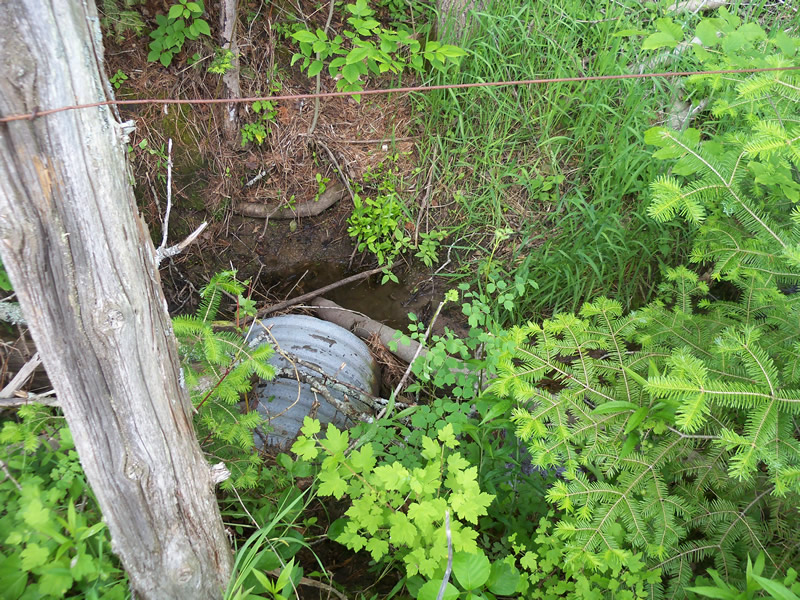
Inlet
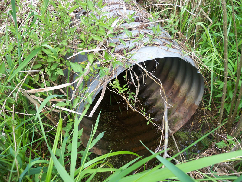
Outlet
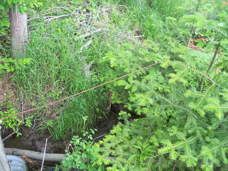
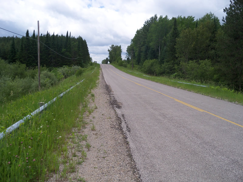
Upstream Conditions
Downstream Conditions
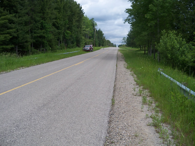
Road Approach - Left
Road Approach - Right
Crossing Information
Type of Crossing: culvert(s)
Number of Structures: 1
Structure Shape: Round
Inlet Type: Apron
Outlet Type: At Stream Grade
Structure Material: Metal
Structure Substrate: None
General Conditions: Fair
Structure Interior: corrugated
Structure is Rusted through
Dimensions of Structure: Length 100 ft.
, Width 4 ft.
, Height 4 ft.
Structure is NOT Perched
Structure Inlet
Water Depth: 1.3 ft.
Embedded Depth of Structure: 0 ft.
Water Velocity*: 0.3 ft./sec.
Structure Outlet
Water Depth: 1.7 ft.
Embedded Depth of Structure: 0 ft.
Water Velocity*: 0.1 ft./sec.
*Water Velocities were measured at the Surface
(with Meter)
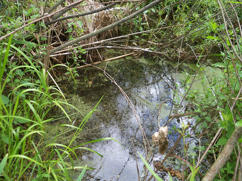
Stream Information
Stream Flow: Less than Bankfull
Scour Pool: Length 0 ft.
, Width 0 ft.
, Depth 0 ft.
Upstream Pond: Length 0 ft.
, Width 0 ft.
, Depth 0 ft.
Riffle Information
Water Depth: 1.3 ft.
Bankfull Width: 9.3 ft.
Wetted Width: 6.7 ft.
Water Velocity: 0.3 ft./sec.
(Measured with Meter)
Dominant Substrate: Sand
Road Information
Paved
County Road
Road Condition: Good
Road Width at Culvert: 28 ft.
Location of Low Point: At Stream
Runoff Path: Ditch
Embankments
Upstream
Fill Depth: 10.1 ft.
Slope: More than 1:2
Downstream
Fill Depth: 9 ft.
Slope: More than 1:2
Approaches
Left Approach
Length: 450 ft.
Slope: 1% to 5%
Vegetation: Heavy
LS Factor: 0.49
Erosion: 0.2041 tons/year
Right Approach
Length: 105 ft.
Slope: Less Than 1%
Vegetation: Heavy
LS Factor: 0.05
Erosion: 0.0049 tons/year
Erosion Information
Total Erosion at Crossing: 0.209 tons/year
Summary Information
Fish Passability 0.5
A future visit to this site is recommended. Culvert is in fair condition.
These non-native species were observerd at this site: Autumn Olive
�