Road Stream Crossing Site AUS_PR080
Au Sable River Watershed, Vandercook Creek
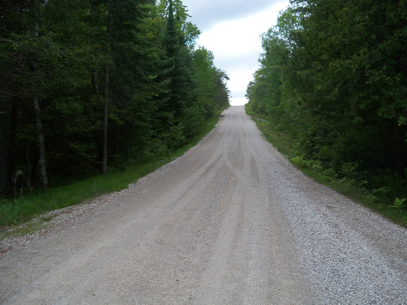
Forest Service Rd 4548
Mikado Twp,
Alcona County
Information collected by:
Site Location
GPS Coordinates: 44.55159
, -83.52483
T25N
R07E
Sec 24
Owned by Federal
Fish Passability 1
Structure is NOT Perched
Total Erosion: 10.5485 tons/year
Severity: Severe
Year Inventoried: 2013

Site ID
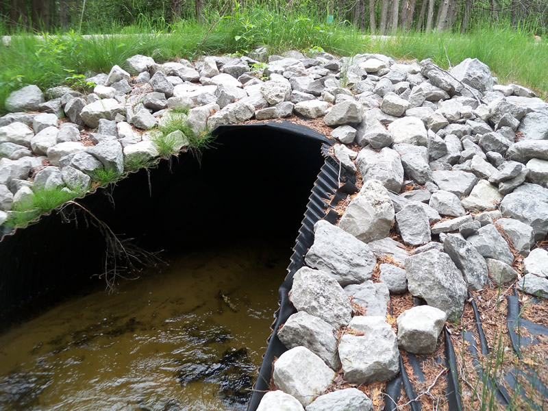
Inlet
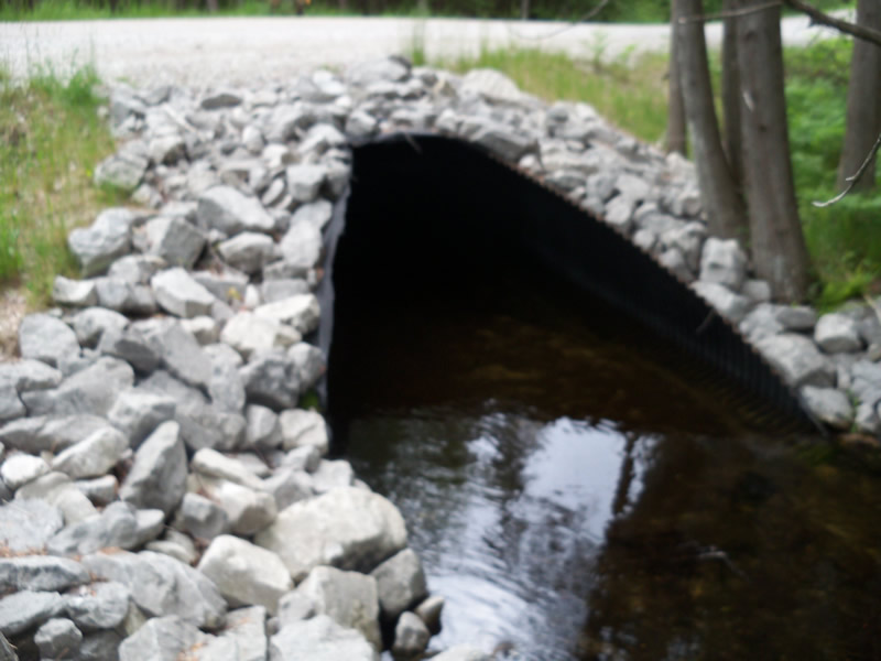
Outlet
Upstream Conditions
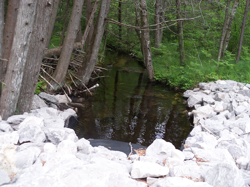
Downstream Conditions
Road Approach - Left
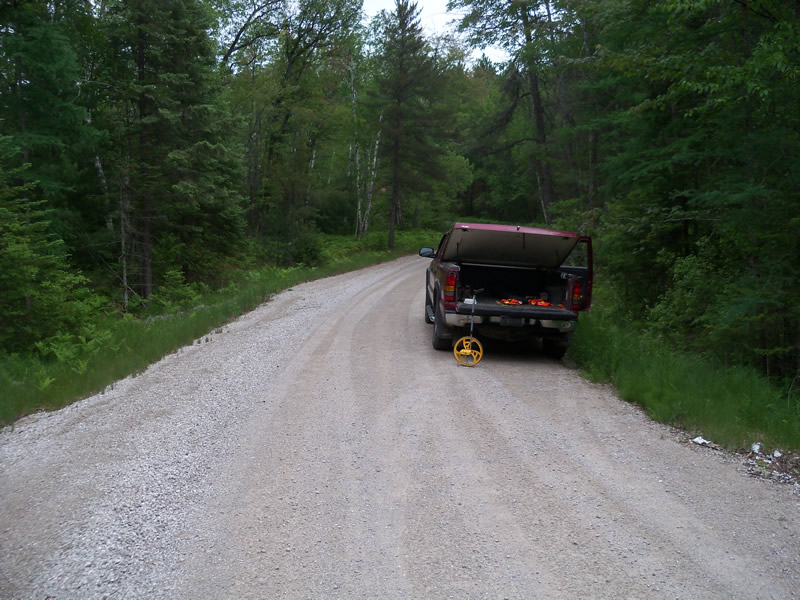
Road Approach - Right
Crossing Information
Type of Crossing: culvert(s)
Number of Structures: 1
Structure Shape: Round
Inlet Type: Mitered
Outlet Type: At Stream Grade
Structure Material: Metal
Structure Substrate: Sand
General Conditions: New
Structure Interior: corrugated
Dimensions of Structure: Length 58 ft.
, Width 6.7 ft.
, Height 5.4 ft.
Structure is NOT Perched
Structure Inlet
Water Depth: 1.1 ft.
Embedded Depth of Structure: 0.6 ft.
Water Velocity*: 0.5 ft./sec.
Structure Outlet
Water Depth: 0.9 ft.
Embedded Depth of Structure: 0.9 ft.
Water Velocity*: 0.1 ft./sec.
(with Meter)
Additional Comments
New
Stream Information
Stream Flow: Less than Bankfull
Scour Pool: Length 0 ft.
, Width 0 ft.
, Depth 0 ft.
Upstream Pond: Length 0 ft.
, Width 0 ft.
, Depth 0 ft.
Riffle Information
Water Depth: 0.7 ft.
Bankfull Width: 10.2 ft.
Wetted Width: 8.1 ft.
Water Velocity: 0.4 ft./sec.
(Measured with Meter)
Dominant Substrate: Sand
Road Information
Gravel
Federal Road
Road Condition: Good
Road Width at Culvert: 28 ft.
Location of Low Point: At Stream
Runoff Path: Ditch
Embankments
Upstream
Fill Depth: 1.5 ft.
Slope: More than 1:2
Downstream
Fill Depth: 0.9 ft.
Slope: More than 1:2
Approaches
Left Approach
Length: 640 ft.
Slope: 6% to 10%
Vegetation: Heavy
LS Factor: 1.774
Erosion: 8.7576 tons/year
Right Approach
Length: 470 ft.
Slope: 1% to 5%
Vegetation: Heavy
LS Factor: 0.494
Erosion: 1.7909 tons/year
Erosion Information
Total Erosion at Crossing: 10.5485 tons/year
Extent of Erosion: Stabilized
Summary Information
Fish Passability 1
�