Road Stream Crossing Site AUS_PR105
Au Sable River Watershed, Duval Creek
F-41
Mikado Twp,
Alcona County
Information collected by:
Site Location
GPS Coordinates: 44.54675
, -83.4222
T25N
R08E
Sec 23,24
Owned by Private
Fish Passability 0.5
Structure is NOT Perched
Severity: Moderate
Year Inventoried: 2013

Site ID
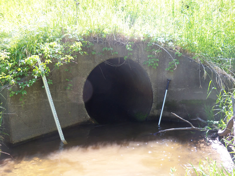
Inlet
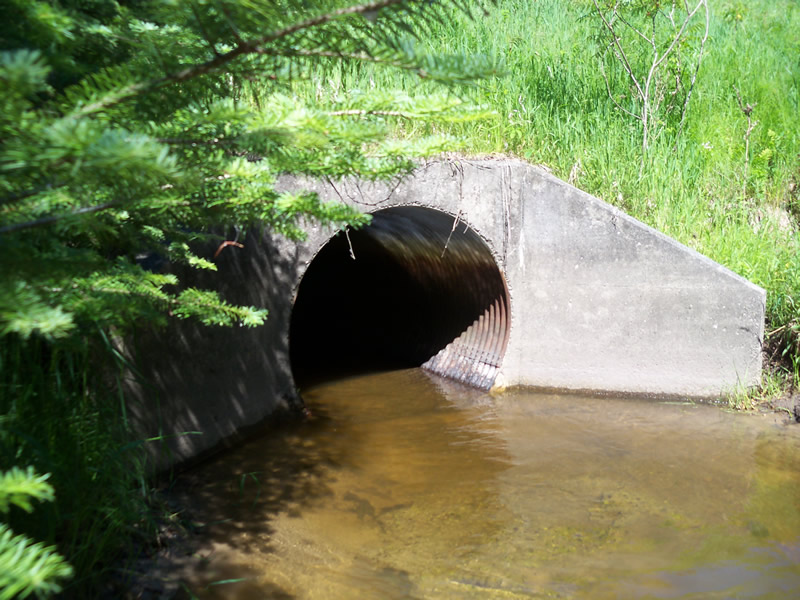
Outlet
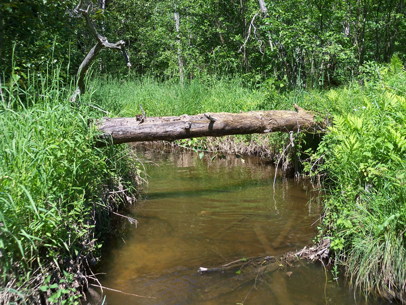
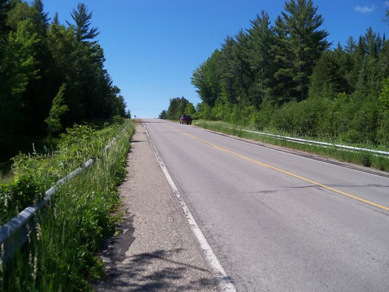
Upstream Conditions
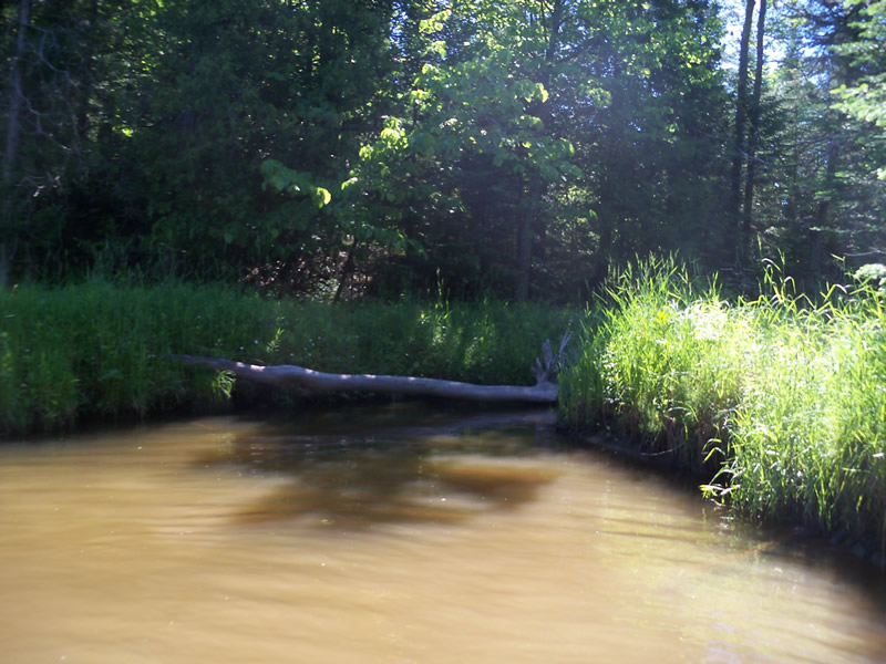
Downstream Conditions
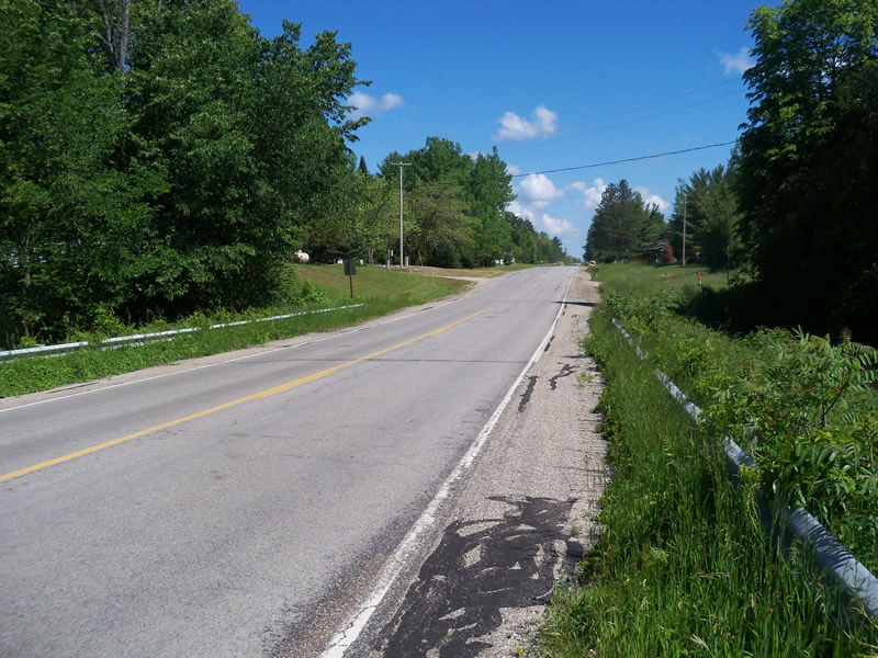
Road Approach - Left
Road Approach - Right
Crossing Information
Type of Crossing: culvert(s)
Number of Structures: 1
Structure Shape: Round
Inlet Type: Wingwall 10-30 Degree
Outlet Type: At Stream Grade
Structure Material: Metal
Structure Substrate: None
General Conditions: Fair
Structure Interior: corrugated
Dimensions of Structure: Length 100 ft.
, Width 4.9 ft.
, Height 5.1 ft.
Structure is NOT Perched
Structure Inlet
Water Depth: 0.7 ft.
Embedded Depth of Structure: 0 ft.
Water Velocity*: 2.1 ft./sec.
Structure Outlet
Water Depth: 1.2 ft.
Embedded Depth of Structure: 0 ft.
Water Velocity*: 1 ft./sec.
*Water Velocities were measured at the Surface
(with Meter)
Stream Information
Stream Flow: Less than Bankfull
Scour Pool: Length 0 ft.
, Width 0 ft.
, Depth 0 ft.
Upstream Pond: Length 0 ft.
, Width 0 ft.
, Depth 0 ft.
Riffle Information
Water Depth: 0.5 ft.
Bankfull Width: 12.4 ft.
Wetted Width: 8.3 ft.
Water Velocity: 0.3 ft./sec.
(Measured with Meter)
Dominant Substrate: Gravel
Road Information
Paved
Federal Road
Road Condition: Good
Road Width at Culvert: 31 ft.
Location of Low Point: Other
Runoff Path: Ditch
Embankments
Upstream
Fill Depth: 8.5 ft.
Slope: More than 1:2
Downstream
Fill Depth: 9 ft.
Slope: More than 1:2
Length: 0 ft.
Vegetation: Heavy
Length: 735 ft.
Slope: 1% to 5%
Vegetation: Heavy
Erosion Information
Notes: Downstream banks eroded near riffle, sign of a flashy stream
Summary Information
Fish Passability 0.5
A future visit to this site is recommended. Banks are unstable
�