Road Stream Crossing Site AUS_PR106
Au Sable River Watershed, Pine River
F-41
Alcona County
Information collected by:
Site Location
GPS Coordinates: 44.5507
, -83.42201
T25N
R08E
Sec 23,24
Owned by Private
Fish Passability 1
Structure is NOT Perched
Total Erosion: 1.0175 tons/year
Severity: Minor
Year Inventoried: 2013

Site ID
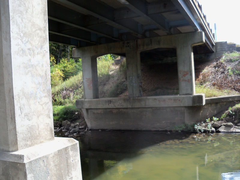
Inlet
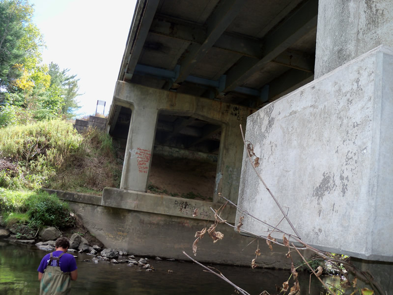
Outlet
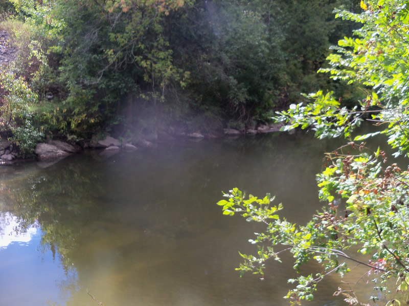
Upstream Conditions
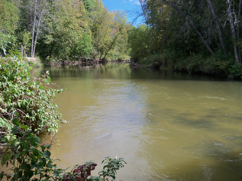
Downstream Conditions
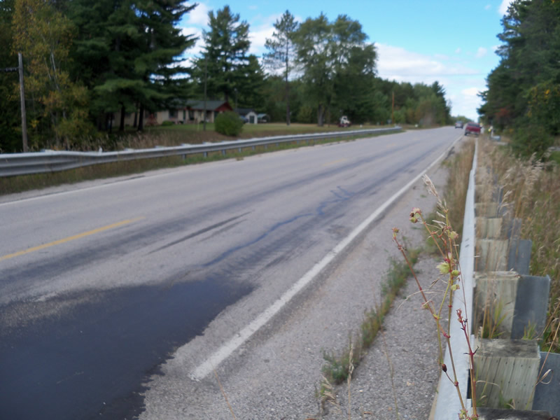
Road Approach - Left
Road Approach - Right
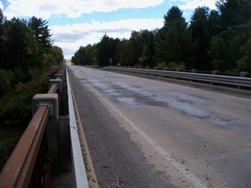
Crossing Information
Type of Crossing: Bridge
Structure Shape: Open Bottom Square/Rectangle
Inlet Type: Wingwall 10-30 Degree
Outlet Type: At Stream Grade
Structure Material: Concrete
Structure Substrate: Sand
General Conditions: Good
Structure Interior: smooth
Dimensions of Structure: Length 30 ft.
, Width 200 ft.
, Height 30 ft.
Structure is NOT Perched
Structure Inlet
Water Depth: 2.7 ft.
Embedded Depth of Structure: 0 ft.
Water Velocity*: 1 ft./sec.
Structure Outlet
Water Depth: 2.2 ft.
Embedded Depth of Structure: 0 ft.
Water Velocity*: 1.6 ft./sec.
*Water Velocities were measured at the Surface
(with Meter)
Stream Information
Stream Flow: Bankfull
Riffle Information
Water Depth: 0.6 ft.
Bankfull Width: 85 ft.
Wetted Width: 74 ft.
Water Velocity: 1.1 ft./sec.
(Measured with Meter)
Dominant Substrate: Sand
Road Information
Paved
Federal Road
Road Condition: Good
Road Width at Culvert: 27 ft.
Location of Low Point: At Stream
Runoff Path: Roadway
Embankments
Upstream
Fill Depth: 5 ft.
Slope: Vertical
Downstream
Fill Depth: 5 ft.
Slope: Vertical
Approaches
Left Approach
Length: 1000 ft.
Slope: 1% to 5%
Vegetation: Heavy
LS Factor: 0.57
Erosion: 0.5088 tons/year
Right Approach
Length: 1000 ft.
Slope: 1% to 5%
Vegetation: Heavy
LS Factor: 0.57
Erosion: 0.5088 tons/year
Erosion Information
Total Erosion at Crossing: 1.0175 tons/year
Summary Information
Fish Passability 1
�