Road Stream Crossing Site AUS_PR206
Au Sable River Watershed, Huron Creek
Loud Dr
AuSable Twp,
Iosco County
Information collected by:
Site Location
GPS Coordinates: 44.49504
, -83.3736
T24N
R09E
Sec 8
Owned by Private
Structure is NOT Perched
Total Erosion: 0.7009 tons/year
Severity: Minor
Year Inventoried: 2013

Site ID
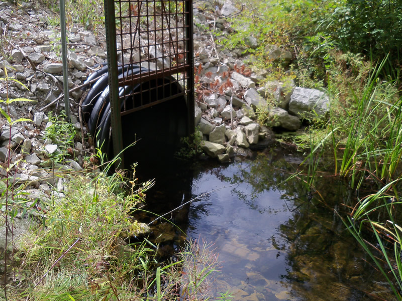
Inlet
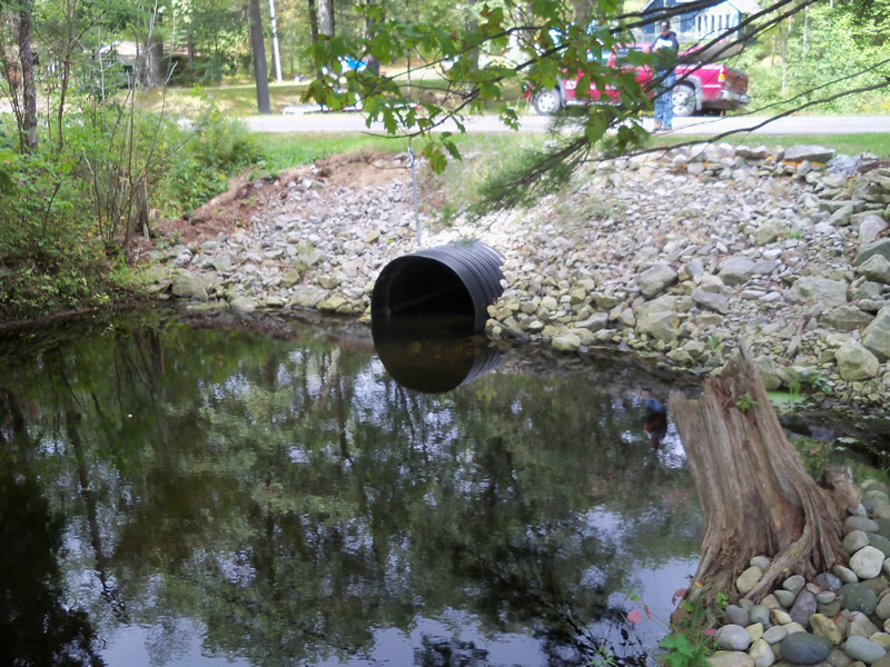
Outlet
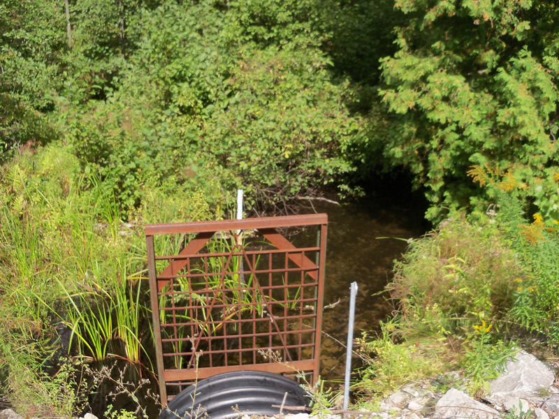
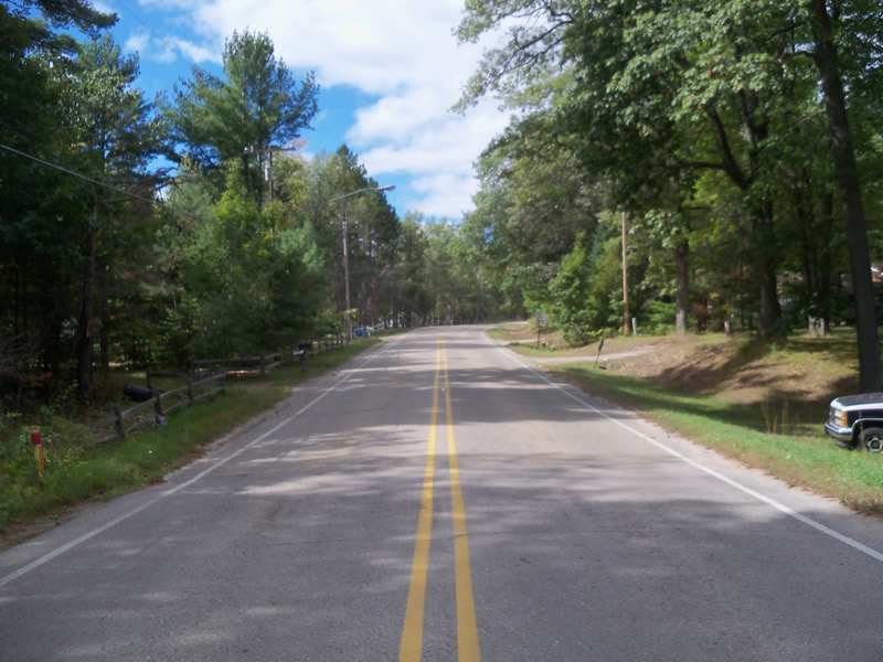
Upstream Conditions
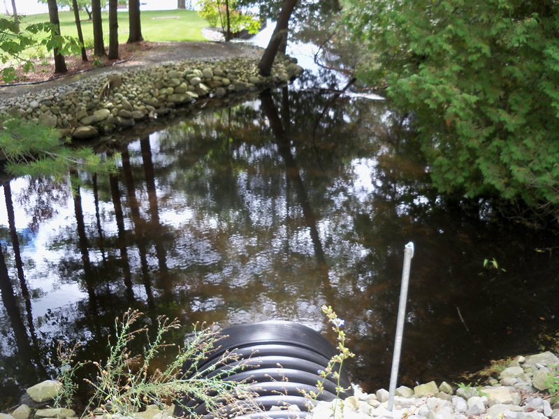
Downstream Conditions
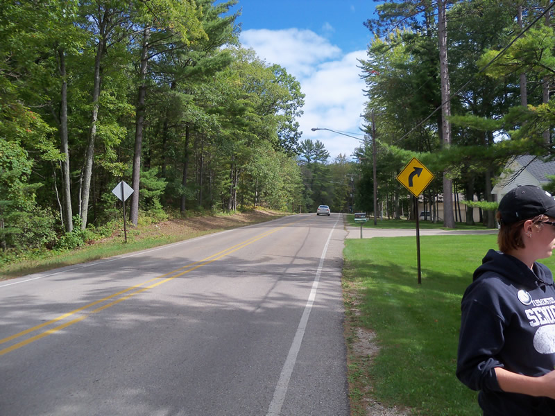
Road Approach - Left
Road Approach - Right
Crossing Information
Type of Crossing: culvert(s)
Number of Structures: 1
Structure Shape: Round
Inlet Type: Trash Rack
Outlet Type: At Stream Grade
Structure Material: Plastic
Structure Substrate: Rock
General Conditions: New
Structure Interior: corrugated
Dimensions of Structure: Length 65 ft.
, Width 4 ft.
, Height 4 ft.
Structure is NOT Perched
Structure Inlet
Water Depth: 1 ft.
Embedded Depth of Structure: 0.2 ft.
Water Velocity*: 0.2 ft./sec.
Structure Outlet
Water Depth: 1.2 ft.
Embedded Depth of Structure: 0.2 ft.
Water Velocity*: 0.2 ft./sec.
*Water Velocities were measured at the Surface
(with Meter)
Stream Information
Stream Flow: Less than Bankfull
Road Information
Paved
County Road
Road Condition: Good
Road Width at Culvert: 28 ft.
Location of Low Point: At Stream
Runoff Path: Roadway
Embankments
Upstream
Fill Depth: 2.5 ft.
Slope: More than 1:2
Downstream
Fill Depth: 3 ft.
Slope: More than 1:2
Approaches
Left Approach
Length: 378 ft.
Slope: 1% to 5%
Vegetation: Partial
LS Factor: 0.589
Erosion: 0.2061 tons/year
Right Approach
Length: 735 ft.
Slope: 1% to 5%
Vegetation: Partial
LS Factor: 0.727
Erosion: 0.4948 tons/year
Erosion Information
Total Erosion at Crossing: 0.7009 tons/year
Summary Information
These non-native species were observerd at this site: Spotted Knapweed
�