Road Stream Crossing Site AUS_PR103
Au Sable River Watershed, Roadside ditch
Michaud Rd
Alcona County
Information collected by:
Site Location
GPS Coordinates: 44.96926
, -84.68156
T25N
R08E
Sec 27,34
Owned by Private
Structure is NOT Perched
Total Erosion: 5.8147 tons/year
Severity: Severe
Year Inventoried: 2013

Site ID
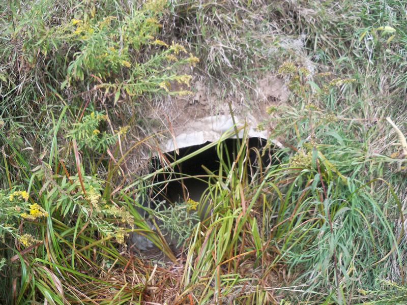
Inlet
Outlet
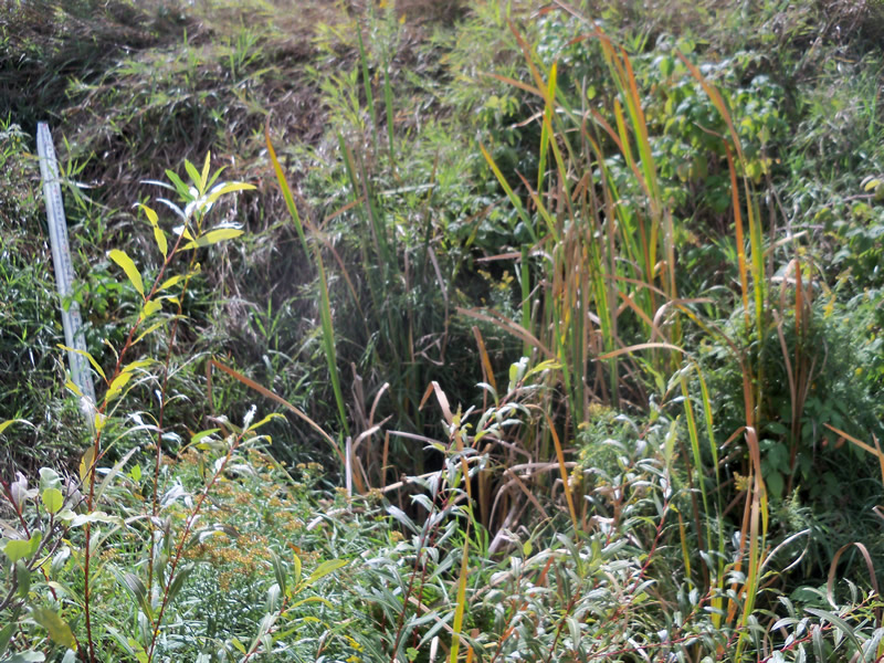
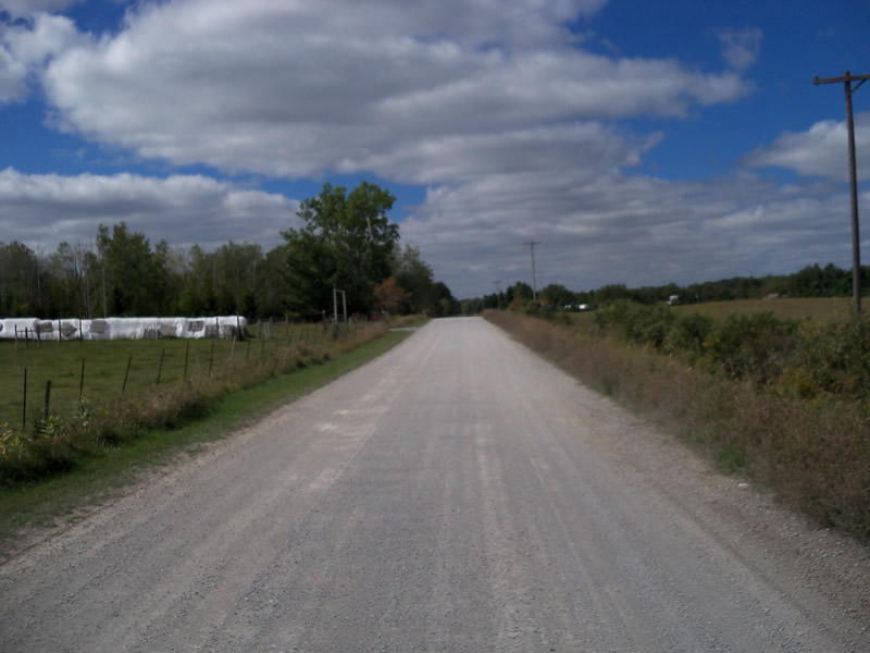
Upstream Conditions
Downstream Conditions
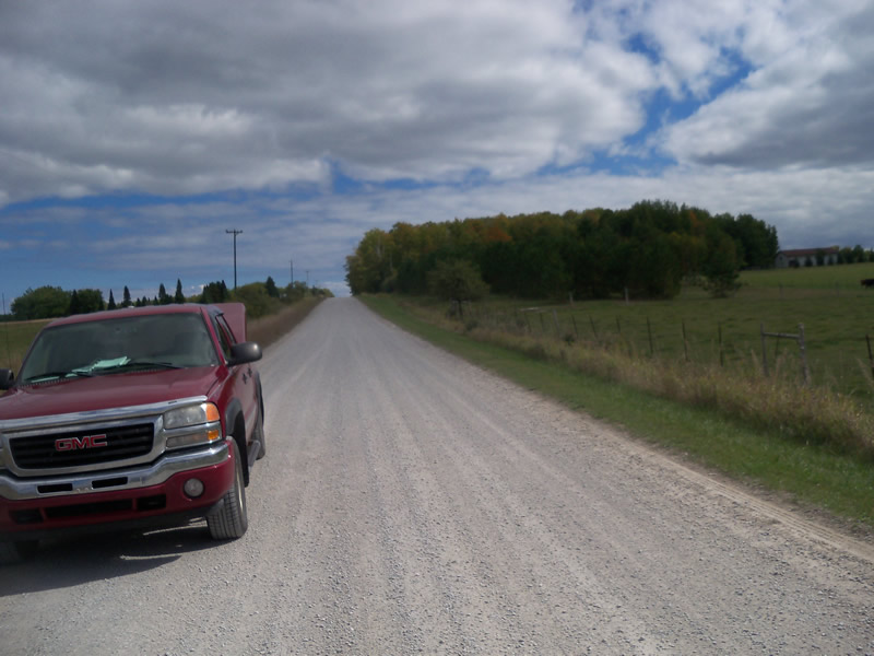
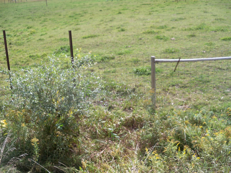
Road Approach - Left
Road Approach - Right
Crossing Information
Type of Crossing: culvert(s)
Number of Structures: 1
Structure Shape: Round
Inlet Type: Projecting
Outlet Type: At Stream Grade
Structure Material: Metal
Structure Substrate: Sand
General Conditions: Fair
Structure Interior: corrugated
Dimensions of Structure: Length 30 ft.
, Width 3 ft.
, Height 2.2 ft.
Structure is NOT Perched
Water Depth: 0 ft.
Embedded Depth of Structure: 0.1 ft.
Water Velocity*: 0 ft./sec.
Water Depth: 0 ft.
Embedded Depth of Structure: 0.2 ft.
Water Velocity*: 0 ft./sec.
*Water Velocities were measured at the Surface
(with Meter)
Road Information
Gravel
County Road
Road Condition: Good
Road Width at Culvert: 20 ft.
Location of Low Point: At Stream
Runoff Path: Ditch
Embankments
Upstream
Fill Depth: 3.7 ft.
Slope: More than 1:2
Downstream
Fill Depth: 5 ft.
Slope: 1:2
Approaches
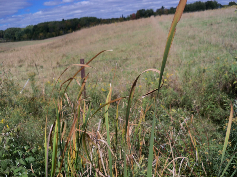
Left Approach
Length: 420 ft.
Slope: 1% to 5%
Vegetation: Partial
LS Factor: 0.608
Erosion: 1.4069 tons/year
Right Approach
Length: 1000 ft.
Slope: 1% to 5%
Vegetation: Partial
LS Factor: 0.8
Erosion: 4.4077 tons/year
Erosion Information
Total Erosion at Crossing: 5.8147 tons/year
Summary Information
These non-native species were observerd at this site: Spotted Knapweed
�