Road Stream Crossing Site EBIO003
Au Gres River Watershed, Tributary of Hale Creek
Long Lake Rd
Plainfield Twp,
Iosco County
Information collected by:
Site Location
GPS Coordinates: 44.4007
, -83.84512
T23N
R5E
Sec 8 & 9
Owned by Private
Fish Passability 0.9
Structure is NOT Perched
Total Erosion: 0.7672 tons/year
Severity: Moderate
Year Inventoried: 2014

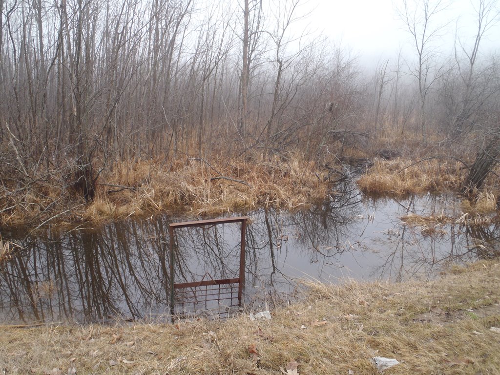
Inlet
Outlet
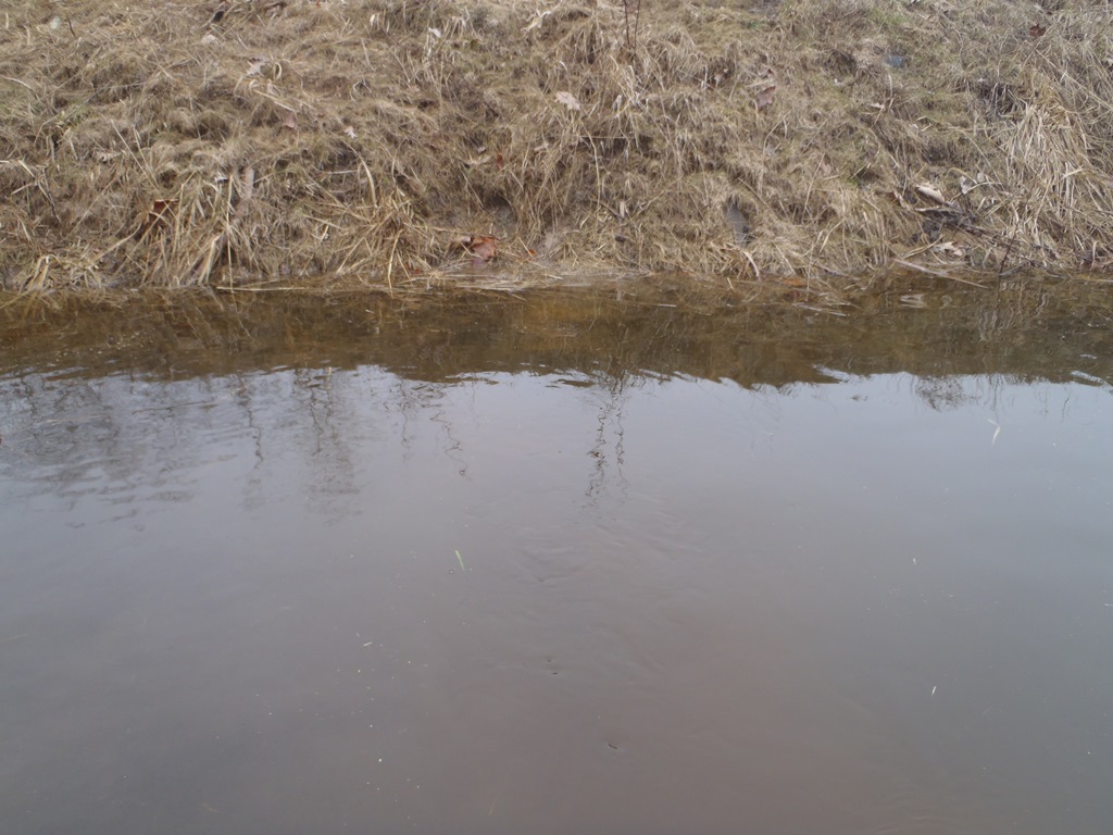
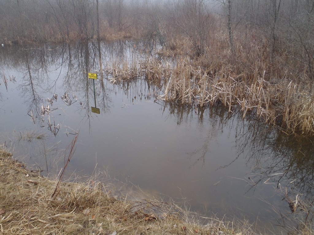
Upstream Conditions
Downstream Conditions
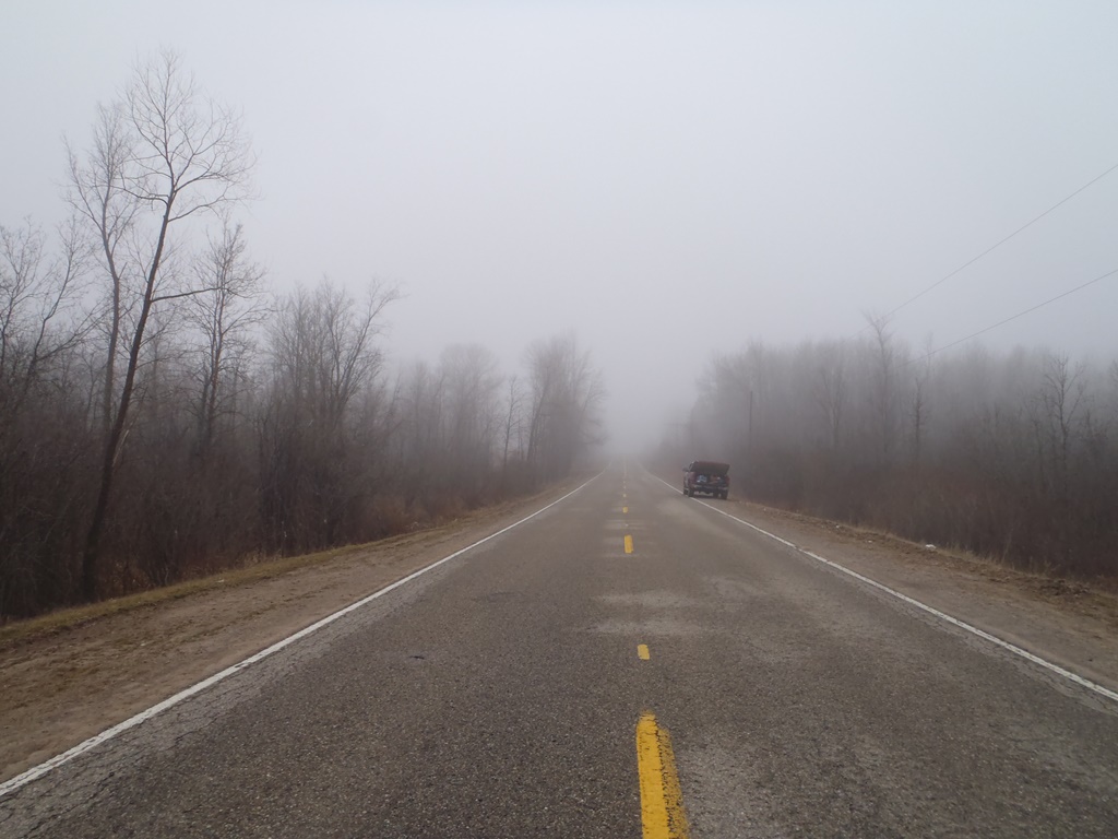
Road Approach - Left
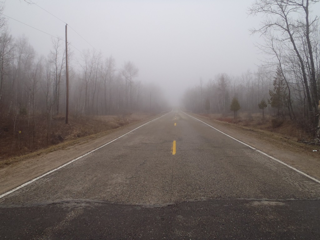
Road Approach - Right
Crossing Information
Type of Crossing: culvert(s)
Number of Structures: 1
Structure Shape: Round
Inlet Type: Trash Rack
Outlet Type: At Stream Grade
Structure Material: Metal
Structure Substrate: Gravel
General Conditions: Fair
Structure Interior: corrugated
Dimensions of Structure: Length 70 ft.
, Width 1.3 ft.
, Height 1.3 ft.
Structure is NOT Perched
Structure Inlet
Water Depth: 2.3 ft.
Embedded Depth of Structure: 0 ft.
Water Velocity*: 0.2 ft./sec.
Structure Outlet
Water Depth: 2 ft.
Embedded Depth of Structure: 0.1 ft.
Water Velocity*: 1.1 ft./sec.
*Water Velocities were measured 0.5 ft. below Surface
(with Meter)
Stream Information
Stream Flow: More than Bankfull
Scour Pool: Length 0 ft.
, Width 0 ft.
, Depth 0 ft.
Upstream Pond: Length 0 ft.
, Width 0 ft.
, Depth 0 ft.
Riffle Information
Water Depth: 0 ft.
Bankfull Width: 0 ft.
Wetted Width: 0 ft.
Water Velocity: 0 ft./sec.
Road Information
Paved
County Road
Road Condition: Fair
Road Width at Culvert: 28 ft.
Location of Low Point: At Stream
Runoff Path: Ditch
Embankments
Upstream
Fill Depth: 5.6 ft.
Slope: More than 1:2
Downstream
Fill Depth: 5.3 ft.
Slope: More than 1:2
Approaches
Left Approach
Length: 1000 ft.
Slope: 1% to 5%
Vegetation: Heavy
LS Factor: 0.57
Erosion: 0.5276 tons/year
Right Approach
Length: 380 ft.
Slope: 1% to 5%
Vegetation: Heavy
LS Factor: 0.476
Erosion: 0.1674 tons/year
Erosion Information
Total Erosion at Crossing: 0.7672 tons/year
Extent of Erosion: Moderate
Notes: Embankment above inlet is washed out. Material is sandy clay.
Location of Erosion | Erosion Dimensions | Eroded Material | Material Eroded | Total Erosion | ||
facing downstream | Length | Width | Depth | Reaching Stream? | (tons/year) | |
Left Upstream Embankment |
6.7 ft. |
4 ft. |
2.2 ft. |
yes |
Clay |
0.0722 |
Summary Information
Fish Passability 0.9
�