Road Stream Crossing Site EBIO036
Au Gres River Watershed, Tributary of Smith Creek
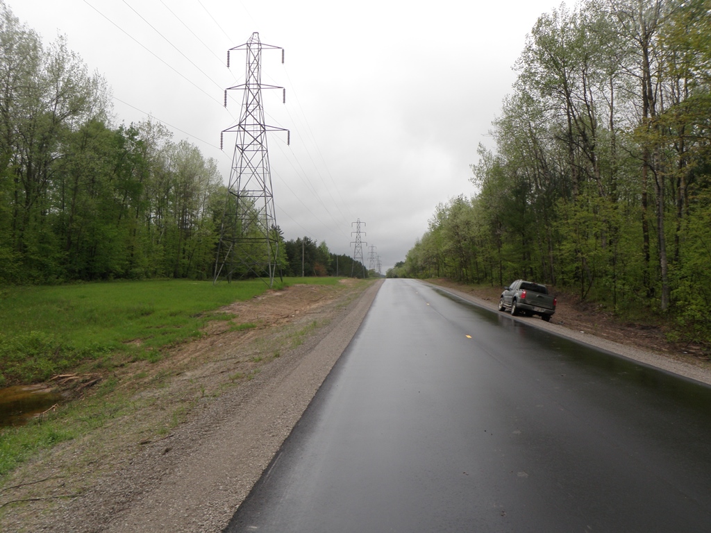
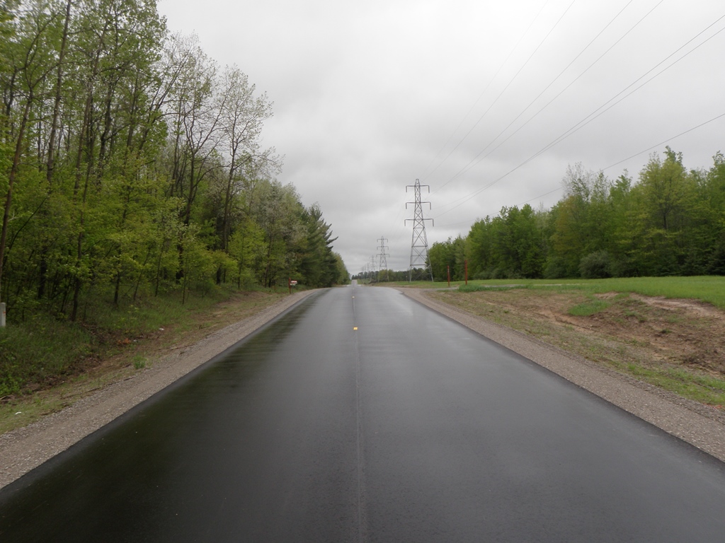
Towerline Rd
Plainfield Twp,
Iosco County
Information collected by:
Site Location
GPS Coordinates: 44.387583
, -83.784583
T23N
R5E
Sec 13 & 14
Owned by Private
Fish Passability 0.5
Structure is NOT Perched
Total Erosion: 2.3291 tons/year
Severity: Severe
Year Inventoried: 2014
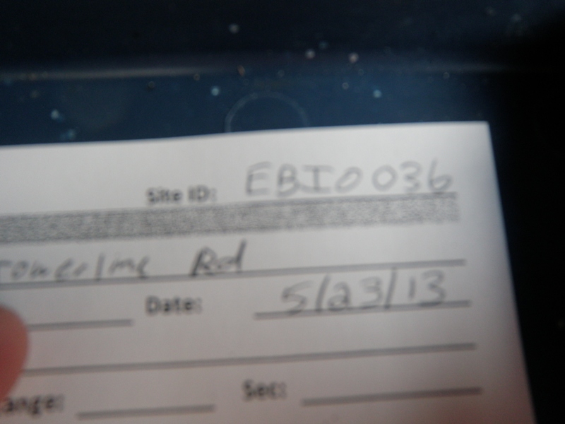
Site ID
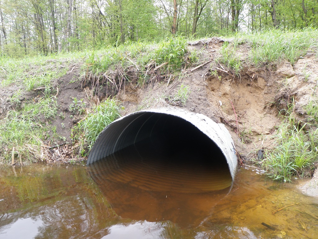
Inlet
Outlet
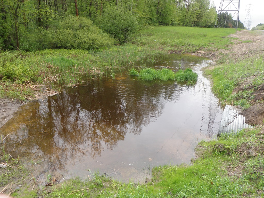
Upstream Conditions
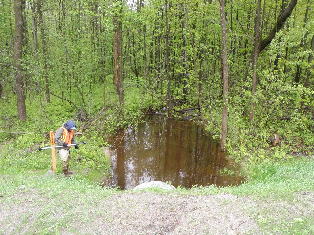
Downstream Conditions
Road Approach - Left
Road Approach - Right
Crossing Information
Type of Crossing: culvert(s)
Number of Structures: 1
Structure Shape: Pipe Arch
Inlet Type: Projecting
Outlet Type: At Stream Grade
Structure Material: Metal
Structure Substrate: None
General Conditions: New
Structure Interior: corrugated
Dimensions of Structure: Length 65 ft.
, Width 5.1 ft.
, Height 3.8 ft.
Structure is NOT Perched
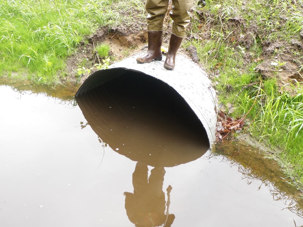
Structure Inlet
Water Depth: 1.6 ft.
Embedded Depth of Structure: 0 ft.
Water Velocity*: 0.7 ft./sec.
Structure Outlet
Water Depth: 1.9 ft.
Embedded Depth of Structure: 0 ft.
Water Velocity*: 0.6 ft./sec.
*Water Velocities were measured 0.5 ft. below Surface
(with Meter)
Stream Information
Stream Flow: Less than Bankfull
Scour Pool: Length 30 ft.
, Width 15 ft.
, Depth 2.2 ft.
Upstream Pond: Length 34 ft.
, Width 23 ft.
, Depth 1.6 ft.
Riffle Information
Water Depth: 1.4 ft.
Bankfull Width: 10 ft.
Wetted Width: 6 ft.
Water Velocity: 1.4 ft./sec.
(Measured with Meter)
Dominant Substrate: Gravel
Road Information
Paved
County Road
Road Condition: Good
Road Width at Culvert: 23 ft.
Location of Low Point: At Stream
Runoff Path: Ditch
Embankments
Upstream
Fill Depth: 4.7 ft.
Slope: More than 1:2
Downstream
Fill Depth: 5 ft.
Slope: More than 1:2
Approaches
Left Approach
Length: 600 ft.
Slope: 1% to 5%
Vegetation: Partial
LS Factor: 0.68
Erosion: 0.3102 tons/year
Right Approach
Length: 250 ft.
Slope: 1% to 5%
Vegetation: Partial
LS Factor: 0.52
Erosion: 0.0988 tons/year
Erosion Information
Total Erosion at Crossing: 2.3291 tons/year
Extent of Erosion: Severe
Notes: Significant erosion is occuring at this site, which appears to have been installed within the past year. Vegetation has not yet become established and impounding and scouring are present.
Location of Erosion | Erosion Dimensions | Eroded Material | Material Eroded | Total Erosion | ||
facing downstream | Length | Width | Depth | Reaching Stream? | (tons/year) | |
Left Downstream Embankment |
5 ft. |
5 ft. |
4 ft. |
yes |
Sandy Loam |
0.384 |
Right Downstream Embankment |
5 ft. |
5 ft. |
4 ft. |
yes |
Sandy Loam |
0.384 |
Right Upstream Embankment |
15 ft. |
3 ft. |
4 ft. |
yes |
Sandy Loam |
1.152 |
Summary Information
Fish Passability 0.5
Erosion is an area of concern for this site.
Significant loading of sediments appears to be an issue at this site. The culvert looks brand new and vegetation is not yet established. Bare soil is being eroded.
A future visit to this site is recommended. Check back to ensure vegetation is becoming established on this newly installed culvert. Install erosion mitigation measures as necessary.
�