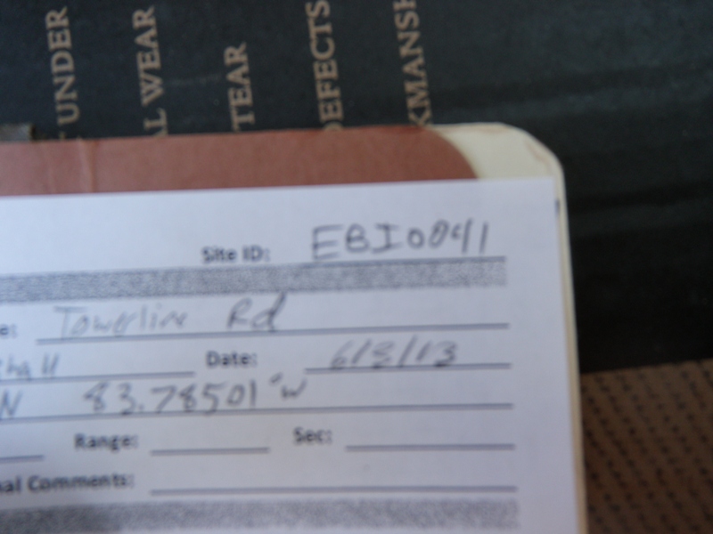
Road Stream Crossing Site EBIO041
Au Gres River Watershed, Road Ditch
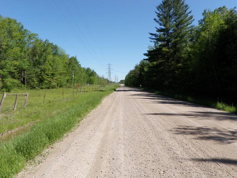
Towerline Rd
Plainfield Twp,
Iosco County
Information collected by:
Site Location
GPS Coordinates: 44.41891
, -83.78501
T23N
R5E
Sec 1 & 2
Owned by Private
Fish Passability 0
Perch Height: 0.1 ft.
Total Erosion: 1.3537 tons/year
Severity: Severe
Year Inventoried: 2014
Site ID
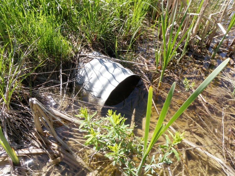
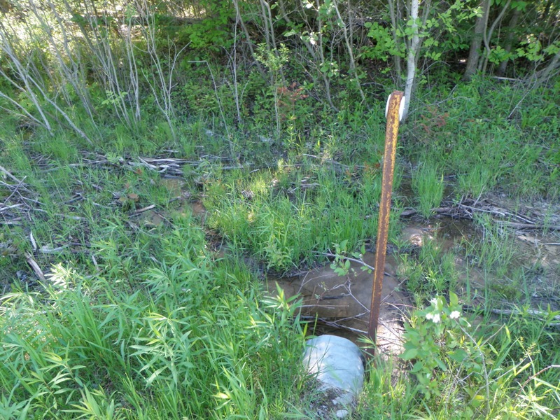
Inlet
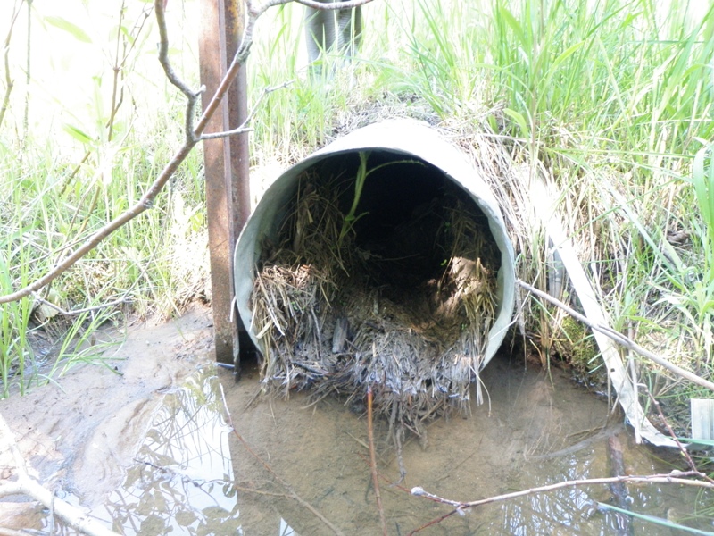
Outlet
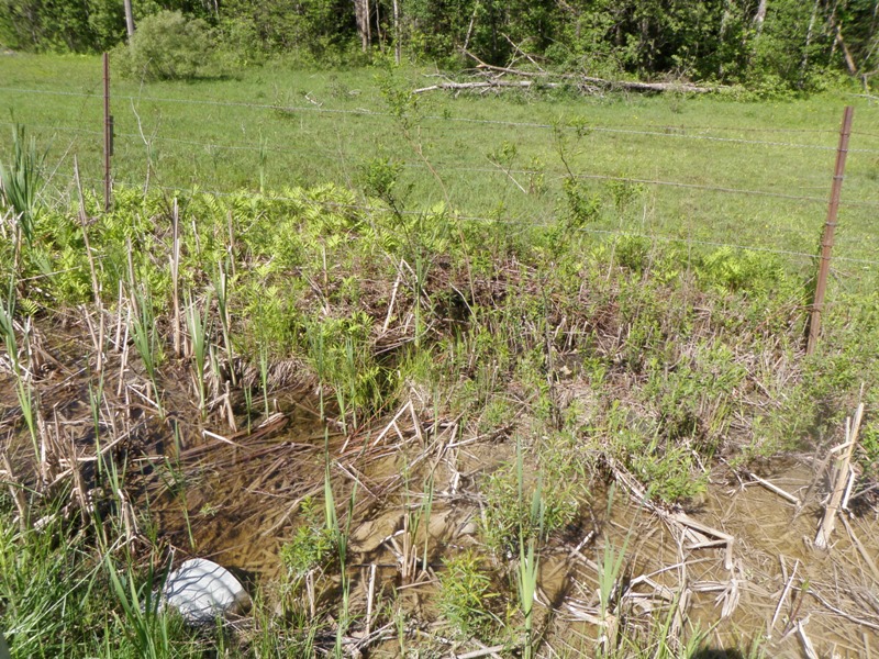
Upstream Conditions
Downstream Conditions
Road Approach - Left
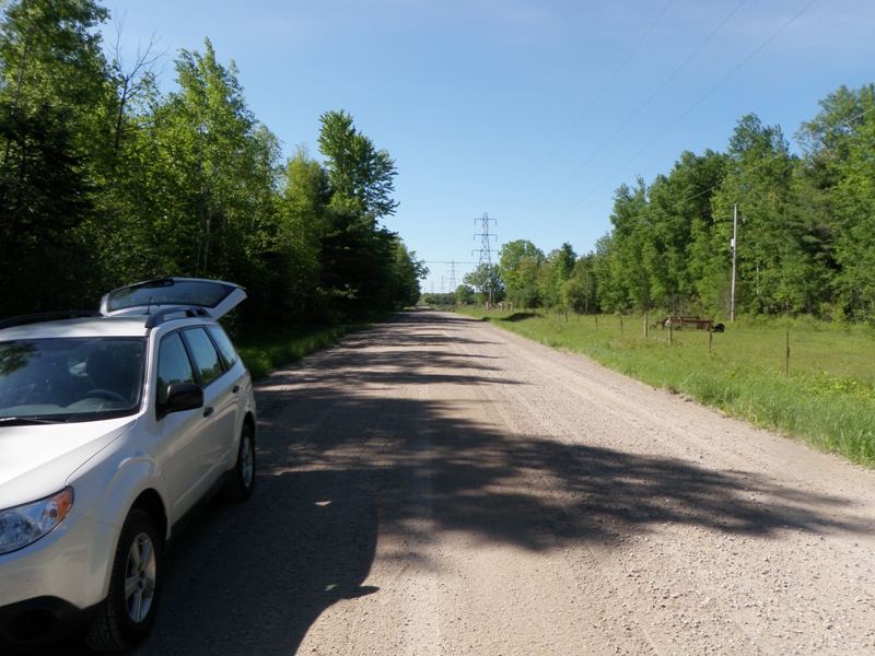
Road Approach - Right
Crossing Information
Type of Crossing: culvert(s)
Number of Structures: 1
Structure Shape: Round
Inlet Type: Projecting
Outlet Type: At Stream Grade
Structure Material: Metal
Structure Substrate: Mixture
General Conditions: Fair
Structure Interior: corrugated
Dimensions of Structure: Length 47 ft.
, Width 1.1 ft.
, Height 1.1 ft.
Percentage Plugged:
Inlet: 0%
Outlet: 1% to 25%
In Pipe: 0%
Perch Height: 0.1 ft.
Structure Inlet
Water Depth: 0.6 ft.
Embedded Depth of Structure: 0.2 ft.
Water Velocity*: 0 ft./sec.
Structure Outlet
Water Depth: 0.2 ft.
Embedded Depth of Structure: 0.1 ft.
Water Velocity*: 0 ft./sec.
*Water Velocities were measured 0.5 ft. below Surface
(with Meter)
Stream Information
Stream Flow: Less than 1/2 Bankfull
Scour Pool: Length 0 ft.
, Width 0 ft.
, Depth 0 ft.
Upstream Pond: Length 0 ft.
, Width 0 ft.
, Depth 0 ft.
Riffle Information
Water Depth: 0 ft.
Bankfull Width: 0 ft.
Wetted Width: 0 ft.
Water Velocity: 0 ft./sec.
Road Information
Gravel
County Road
Road Condition: Good
Road Width at Culvert: 30 ft.
Location of Low Point: At Stream
Runoff Path: Ditch
Embankments
Upstream
Fill Depth: 0.9 ft.
Slope: More than 1:2
Downstream
Fill Depth: 0.6 ft.
Slope: More than 1:2
Approaches
Left Approach
Length: 257 ft.
Slope: 1% to 5%
Vegetation: Heavy
LS Factor: 0.443
Erosion: 0.9405 tons/year
Right Approach
Length: 1000 ft.
Slope: Less Than 1%
Vegetation: Heavy
LS Factor: 0.05
Erosion: 0.4132 tons/year
Erosion Information
Total Erosion at Crossing: 1.3537 tons/year
Notes: No erosion apparent.
Summary Information
Fish Passability 0
�