Road Stream Crossing Site CHAR_CX15
Lake Charlevoix Watershed, Stover Creek tributary
Barnard Rd
Charlevoix Twp,
Charlevoix County
Information collected by:
Site Location
GPS Coordinates: 45.29858
, -85.27908
T34N
R08W
Sec 34
Owned by Private
Fish Passability 0.5
Structure is NOT Perched
Total Erosion: 3.4201 tons/year
Severity: Severe
Year Inventoried: 2011
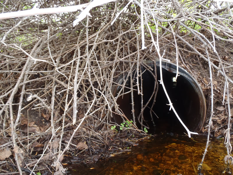
Inlet
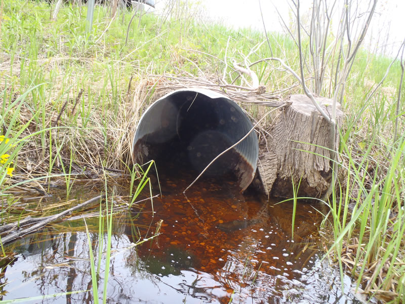
Outlet
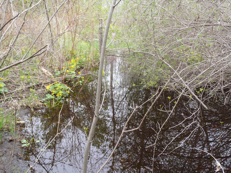
Upstream Conditions
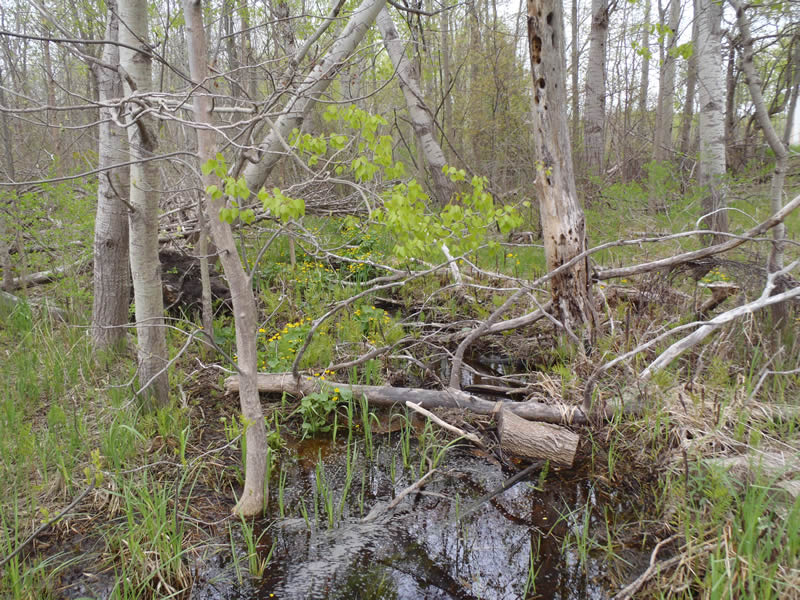
Downstream Conditions
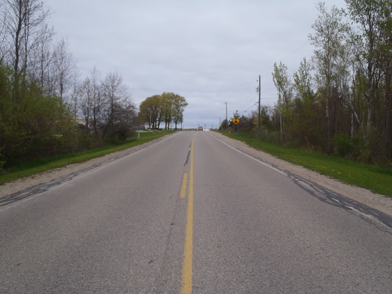
Road Approach - Left
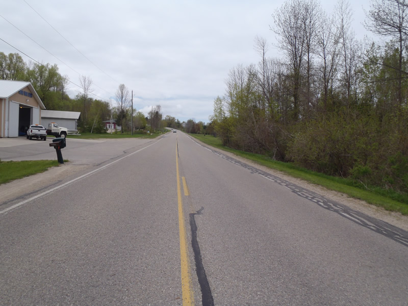
Road Approach - Right
Crossing Information
Type of Crossing: culvert(s)
Number of Structures: 1
Structure Shape: Round
Inlet Type: Projecting
Outlet Type: At Stream Grade
Structure Material: Metal
Structure Substrate: Gravel
General Conditions: Fair
Structure Interior: corrugated
Structure is Rusted through
Dimensions of Structure: Length 90 ft.
, Width 2 ft.
, Height 2 ft.
Structure is NOT Perched
Structure Inlet
Water Depth: 0.18 ft.
Embedded Depth of Structure: 0.1 ft.
Water Velocity*: 1.9 ft./sec.
Structure Outlet
Water Depth: 0.41 ft.
Embedded Depth of Structure: 0 ft.
Water Velocity*: 0.8 ft./sec.
*Water Velocities were measured at the Surface
(with Meter)
Stream Information
Stream Flow: Less than Bankfull
Scour Pool: Length 20 ft.
, Width 12 ft.
Riffle Information
Water Depth: 0.21 ft.
Bankfull Width: 2.5 ft.
Wetted Width: 2 ft.
Water Velocity: 1.4 ft./sec.
(Measured with Meter)
Dominant Substrate: Gravel
Road Information
Paved
County Road
Road Condition: Good
Road Width at Culvert: 30 ft.
Location of Low Point: At Stream
Runoff Path: Ditch
Embankments
Upstream
Fill Depth: 4.5 ft.
Slope: 1:2
Downstream
Fill Depth: 4.5 ft.
Slope: 1:2
Approaches
Left Approach
Length: 579 ft.
Slope: 1% to 5%
Vegetation: Heavy
LS Factor: 0.516
Erosion: 0.2962 tons/year
Right Approach
Length: 1000 ft.
Slope: 6% to 10%
Vegetation: Partial
LS Factor: 3.15
Erosion: 3.124 tons/year
Erosion Information
Total Erosion at Crossing: 3.4201 tons/year
Summary Information
Fish Passability 0.5
�