Road Stream Crossing Site EBIO052
Au Gres River Watershed, Smith Creek
Webb Rd
Plainfield Twp,
Iosco County
Information collected by:
Site Location
GPS Coordinates: 44.3925
, -83.77543
T23N
R5E
Sec 12 & 13
Owned by Private
Fish Passability 0.5
Structure is NOT Perched
Total Erosion: 3.2425 tons/year
Severity: Severe
Year Inventoried: 2014

Site ID
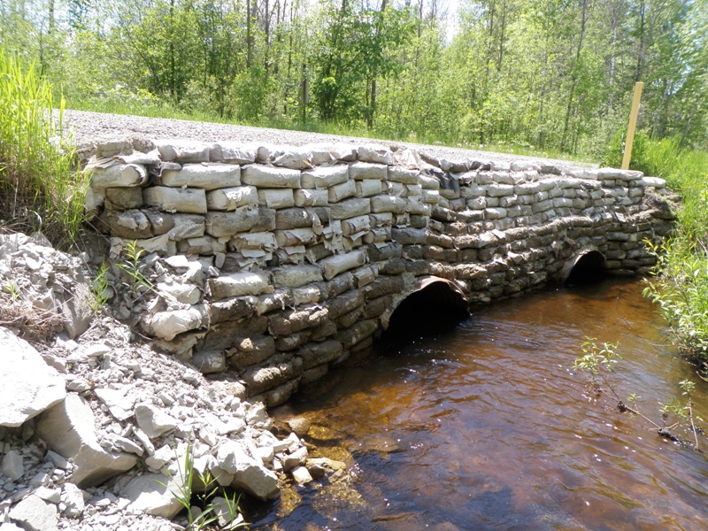
Inlet
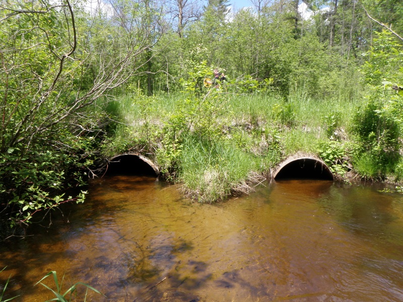
Outlet
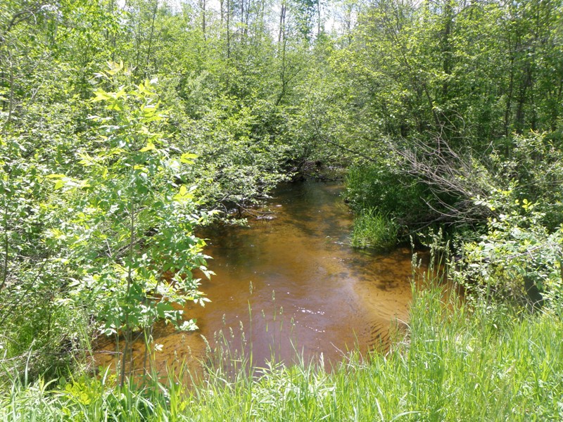
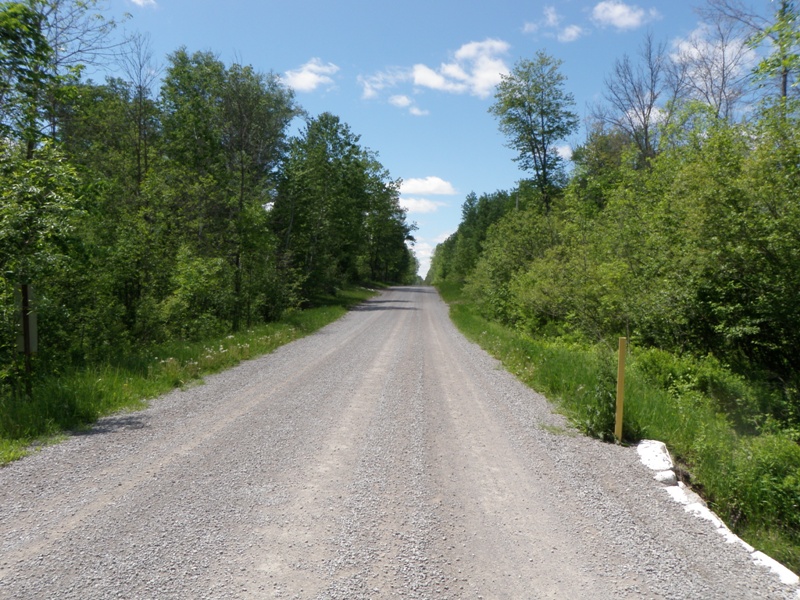
Upstream Conditions
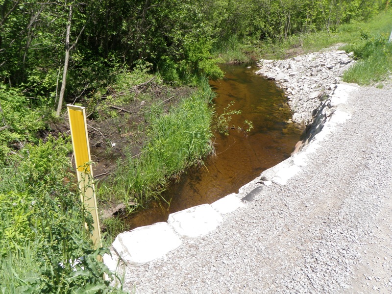
Downstream Conditions
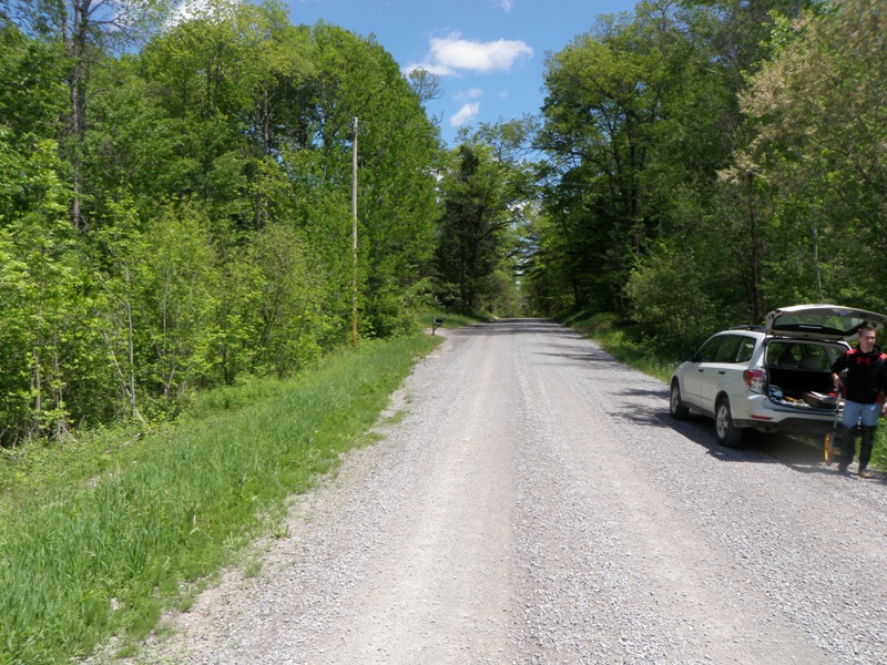
Road Approach - Left
Road Approach - Right
Crossing Information
Type of Crossing: culvert(s)
Number of Structures: 2
Structure Shape: Pipe Arch
Inlet Type: Headwall
Outlet Type: At Stream Grade
Structure Material: Metal
Structure Substrate: None
General Conditions: Good
Multiple Culverts/Spans | ||||
Culvert/Span | Width | Length | Height | Material |
1 |
4 ft. |
29 ft. |
2.9 ft. |
Metal |
2 |
3.8 ft. |
29 ft. |
2.6 ft. |
Metal |
Structure Interior: corrugated
Dimensions of Structure: Length 29 ft.
, Width 4 ft.
, Height 2.9 ft.
Structure is NOT Perched
Structure Inlet
Water Depth: 1.7 ft.
Embedded Depth of Structure: 0 ft.
Water Velocity*: 2.1 ft./sec.
Structure Outlet
Water Depth: 1.2 ft.
Embedded Depth of Structure: 0 ft.
Water Velocity*: 2.1 ft./sec.
*Water Velocities were measured 0.5 ft. below Surface
(with Meter)
Stream Information
Stream Flow: Less than Bankfull
Scour Pool: Length 21 ft.
, Width 13 ft.
, Depth 2.4 ft.
Upstream Pond: Length 0 ft.
, Width 0 ft.
, Depth 0 ft.
Riffle Information
Water Depth: 1.1 ft.
Bankfull Width: 21 ft.
Wetted Width: 17 ft.
Water Velocity: 3 ft./sec.
(Measured with Meter)
Dominant Substrate: Gravel
Road Information
Gravel
County Road
Road Condition: Good
Road Width at Culvert: 22 ft.
Location of Low Point: At Stream
Runoff Path: Ditch
Embankments
Upstream
Fill Depth: 4.5 ft.
Slope: Vertical
Downstream
Fill Depth: 3 ft.
Slope: 1:2
Approaches
Left Approach
Length: 279 ft.
Slope: 6% to 10%
Vegetation: Heavy
LS Factor: 1.366
Erosion: 2.3105 tons/year
Right Approach
Length: 330 ft.
Slope: 1% to 5%
Vegetation: Heavy
LS Factor: 0.466
Erosion: 0.932 tons/year
Erosion Information
Total Erosion at Crossing: 3.2425 tons/year
Notes: None, but road gravel likely pushed into stream. Culverts misaligned, could lead to future erosion in high flow conditions.
Summary Information
Fish Passability 0.5
Erosion is an area of concern for this site.
Misaligned culverts could lead to future erosion. Road material entering stream off nearly vertical embankments. Scour pool present, and culverts might be a velocity barrier for small fish or certain species.
A future visit to this site is recommended. A single adequately sized/aligned culvert or bridge would be more appropriate at this location.
�