Road Stream Crossing Site EBIO023
Au Gres River Watershed, Tributary of Hale Creek
Esmond Rd
Plainfield Twp,
Iosco County
Information collected by:
Site Location
GPS Coordinates: 44.378056
, -83.842056
T23N
R5E
Sec 16 & 21
Owned by Private
Fish Passability 0
Perch Height: 6.5 ft.
Total Erosion: 5.1031 tons/year
Severity: Severe
Year Inventoried: 2014
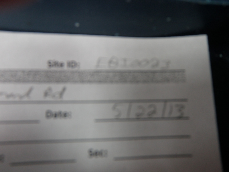
Site ID

Inlet
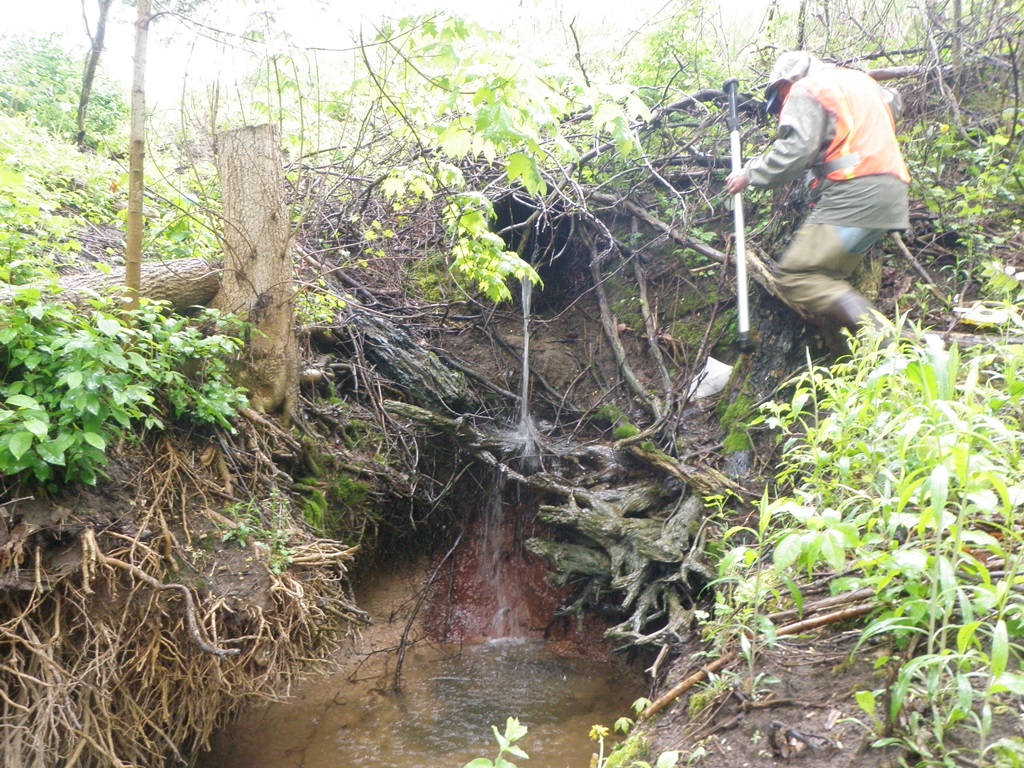
Outlet
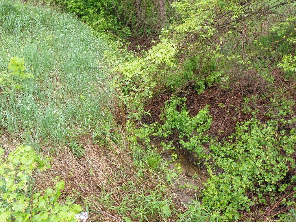
Upstream Conditions
Downstream Conditions
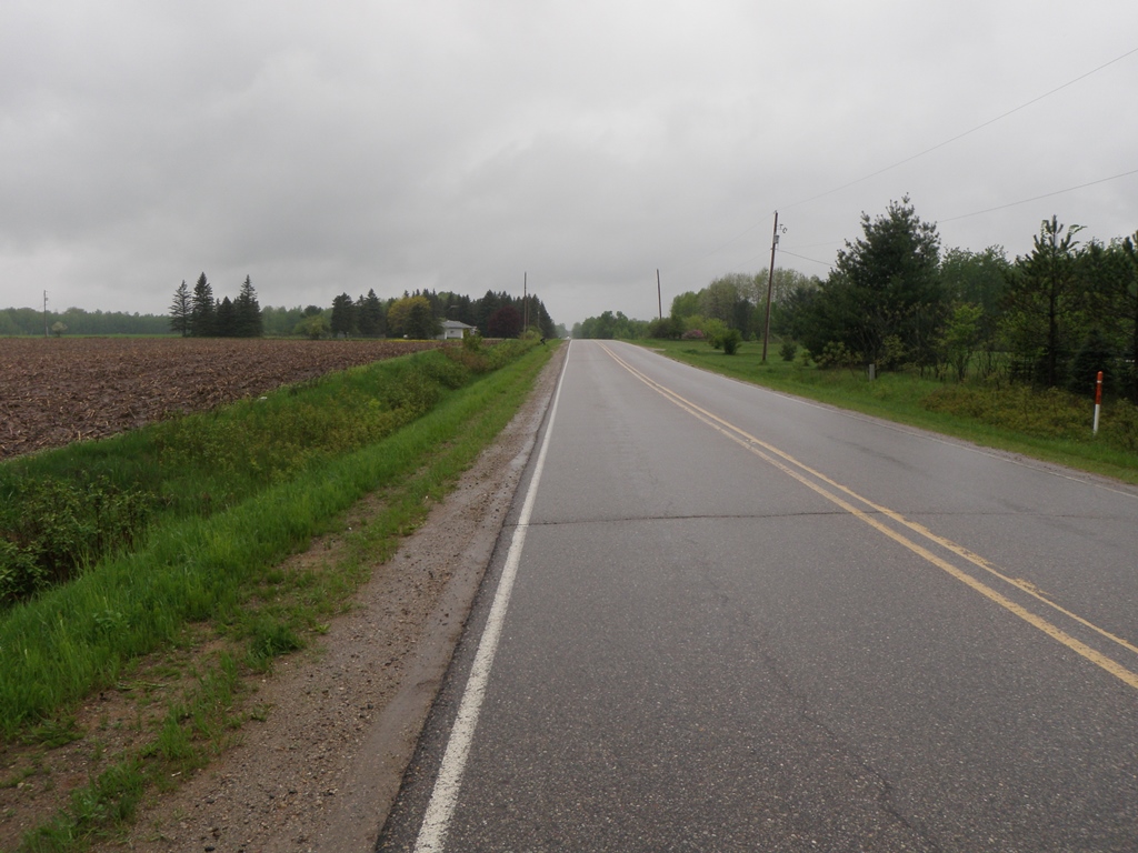
Road Approach - Left
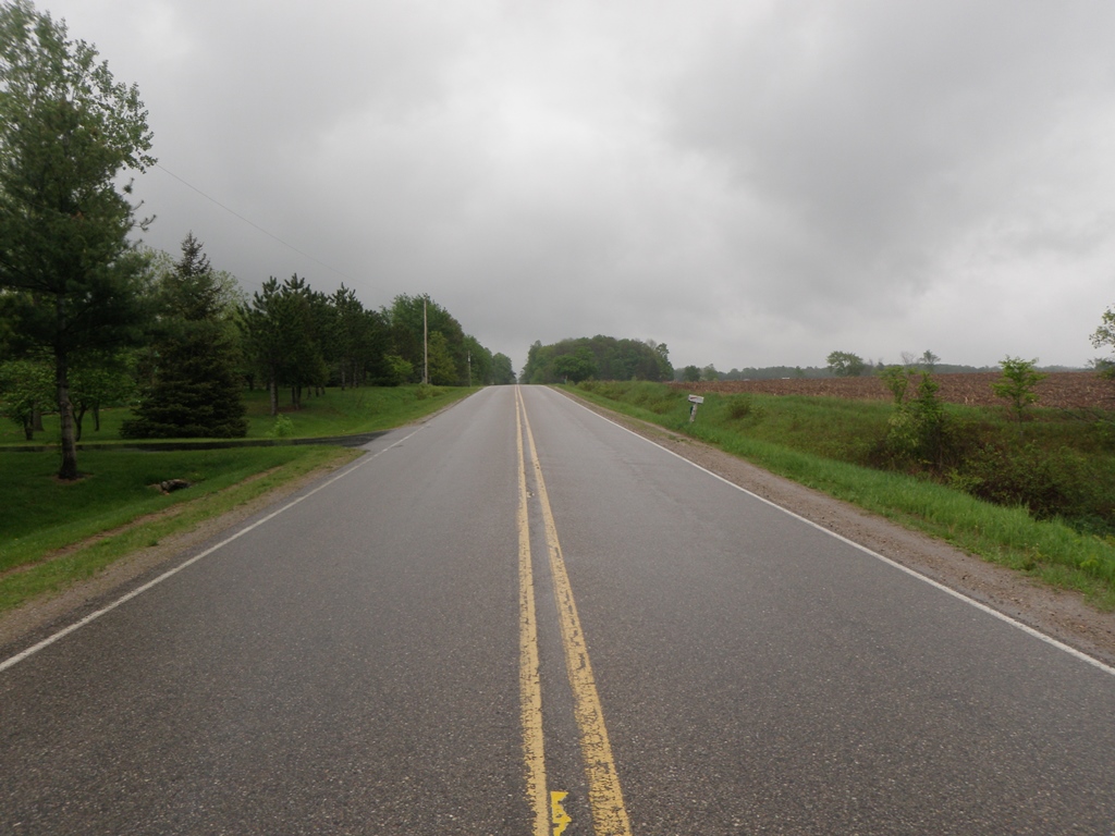
Road Approach - Right
Crossing Information
Type of Crossing: culvert(s)
Number of Structures: 1
Structure Shape: Round
Inlet Type: Projecting
Outlet Type: Freefall onto Riprap
Structure Material: Metal
Structure Substrate: None
General Conditions: Fair
Structure Interior: corrugated
Dimensions of Structure: Length 115 ft.
, Width 1.4 ft.
, Height 1.4 ft.
Percentage Plugged:
Inlet: 1% to 25%
Outlet: 0%
In Pipe: 0%
Perch Height: 6.5 ft.
Structure Inlet
Water Depth: 0.1 ft.
Embedded Depth of Structure: 0 ft.
Water Velocity*: 0.3 ft./sec.
Structure Outlet
Water Depth: 0.1 ft.
Embedded Depth of Structure: 0 ft.
Water Velocity*: 0.4 ft./sec.
*Water Velocities were measured 0.1 ft. below Surface
(with Meter)
Stream Information
Stream Flow: Less than 1/2 Bankfull
Scour Pool: Length 7 ft.
, Width 8 ft.
, Depth 15 ft.
Upstream Pond: Length 0 ft.
, Width 0 ft.
, Depth 0 ft.
Riffle Information
Water Depth: 0.1 ft.
Bankfull Width: 5 ft.
Wetted Width: 2 ft.
Water Velocity: 0.3 ft./sec.
(Measured with Meter)
Dominant Substrate: Sand
Road Information
Paved
County Road
Road Condition: Good
Road Width at Culvert: 24 ft.
Location of Low Point: At Stream
Runoff Path: Ditch
Embankments
Upstream
Fill Depth: 7 ft.
Slope: More than 1:2
Downstream
Fill Depth: 8.5 ft.
Slope: More than 1:2
Approaches
Left Approach
Length: 600 ft.
Slope: 1% to 5%
Vegetation: Heavy
LS Factor: 0.52
Erosion: 0.2475 tons/year
Right Approach
Length: 600 ft.
Slope: 1% to 5%
Vegetation: Heavy
LS Factor: 0.52
Erosion: 0.2475 tons/year
Erosion Information
Total Erosion at Crossing: 5.1031 tons/year
Extent of Erosion: Severe
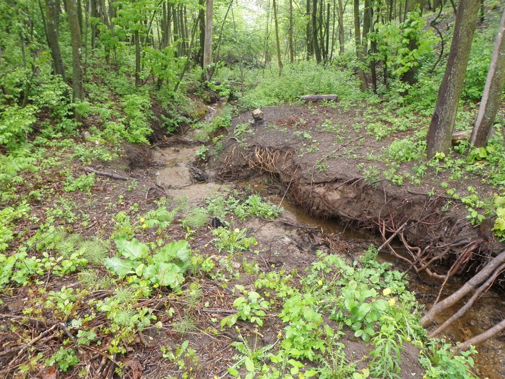
Notes: Major undercutting and along both banks for 30 feet downstream of culvert outlet. Culvert is perched 6.5 feet above water level.
Location of Erosion | Erosion Dimensions | Eroded Material | Material Eroded | Total Erosion | ||
facing downstream | Length | Width | Depth | Reaching Stream? | (tons/year) | |
Left Downstream Streambank |
30 ft. |
2.5 ft. |
4 ft. |
yes |
Sandy Loam |
2.304 |
Right Downstream Streambank |
30 ft. |
3.5 ft. |
4 ft. |
yes |
Sandy Loam |
2.304 |
Summary Information
Fish Passability 0
Erosion is an area of concern for this site.
Significant erosion is occuring at this site. Although it is a small stream and may be dry parts of the year, it is certainly a fish passage barrier as well.
A future visit to this site is recommended. To replace culvert, or to install measures to mitigate future erosion problems.
�