Road Stream Crossing Site EBIO028
Au Gres River Watershed, Tributary of Hale Creek
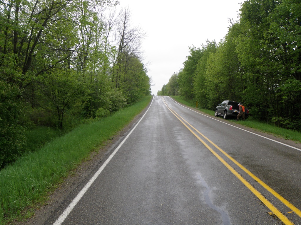
Curtis Rd
Plainfield Twp,
Iosco County
Information collected by:
Site Location
GPS Coordinates: 44.363306
, -83.8155
T23N
R5E
Sec 22 & 27
Owned by Private
Fish Passability 0.5
Structure is NOT Perched
Total Erosion: 1.1644 tons/year
Severity: Severe
Year Inventoried: 2014
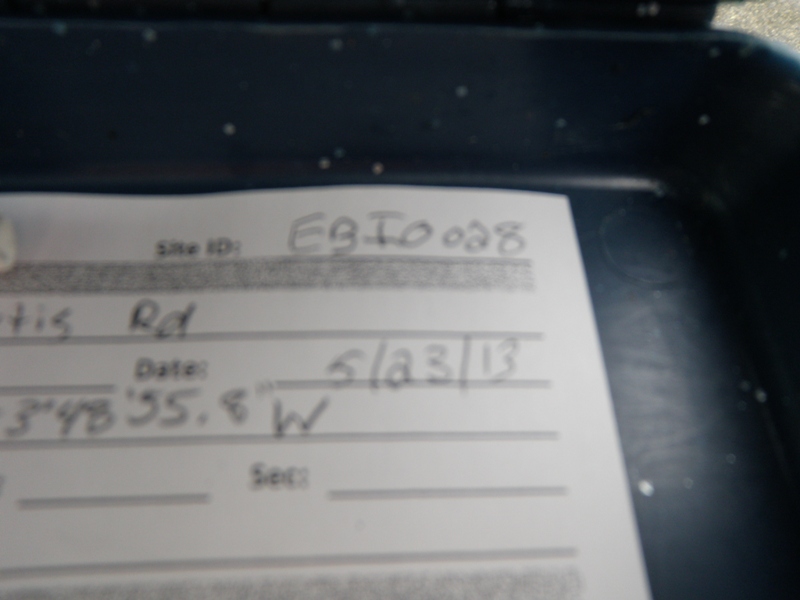
Site ID
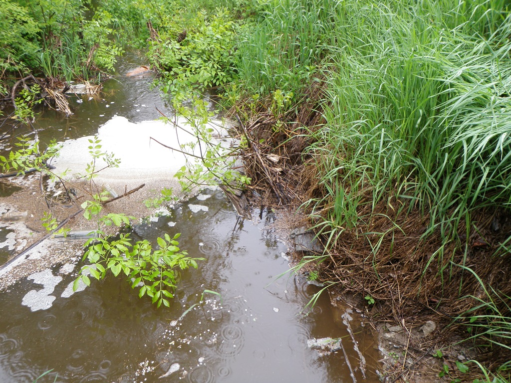
Inlet
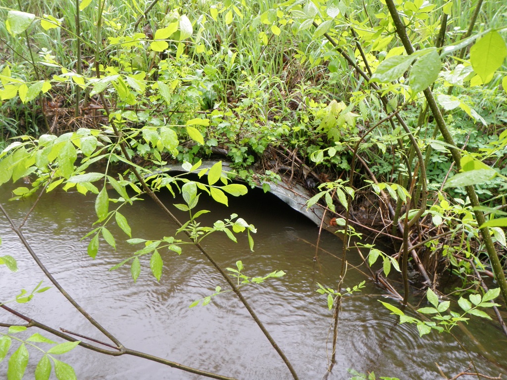
Outlet
Upstream Conditions
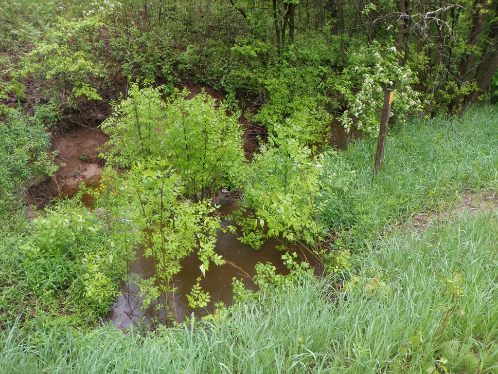
Downstream Conditions
Road Approach - Left
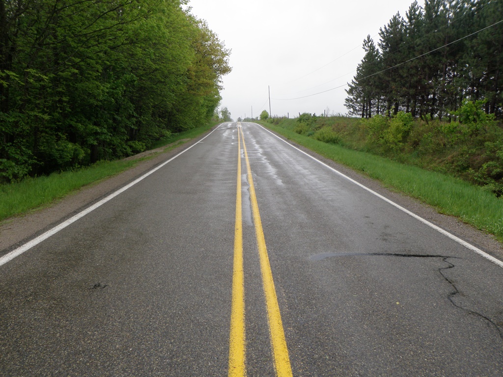
Road Approach - Right
Crossing Information
Type of Crossing: culvert(s)
Number of Structures: 1
Structure Shape: Pipe Arch
Inlet Type: Projecting
Outlet Type: At Stream Grade
Structure Material: Metal
Structure Substrate: None
General Conditions: Good
Structure Interior: corrugated
Dimensions of Structure: Length 55 ft.
, Width 4.2 ft.
, Height 2.9 ft.
Percentage Plugged:
Inlet: 26% to 50%
Outlet: 0%
In Pipe: 0%
Structure is NOT Perched
Structure Inlet
Water Depth: 3 ft.
Embedded Depth of Structure: 0 ft.
Water Velocity*: 0.2 ft./sec.
Structure Outlet
Water Depth: 2.1 ft.
Embedded Depth of Structure: 0 ft.
Water Velocity*: 0.2 ft./sec.
*Water Velocities were measured 0.5 ft. below Surface
(with Meter)
Stream Information
Stream Flow: Less than Bankfull
Scour Pool: Length 9 ft.
, Width 11 ft.
, Depth 2.1 ft.
Upstream Pond: Length 13 ft.
, Width 11 ft.
, Depth 3 ft.
Riffle Information
Water Depth: 0.6 ft.
Bankfull Width: 8 ft.
Wetted Width: 5 ft.
Water Velocity: 1.5 ft./sec.
(Measured with Meter)
Dominant Substrate: Gravel
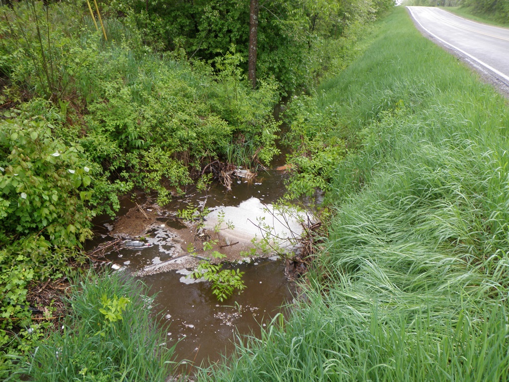
Road Information
Paved
County Road
Road Condition: Good
Road Width at Culvert: 24 ft.
Location of Low Point: At Stream
Runoff Path: Ditch
Embankments
Upstream
Fill Depth: 5 ft.
Slope: 1:2
Downstream
Fill Depth: 5.3 ft.
Slope: More than 1:2
Approaches
Left Approach
Length: 500 ft.
Slope: 1% to 5%
Vegetation: Heavy
LS Factor: 0.5
Erosion: 0.1983 tons/year
Right Approach
Length: 475 ft.
Slope: 1% to 5%
Vegetation: Heavy
LS Factor: 0.495
Erosion: 0.1865 tons/year
Erosion Information
Total Erosion at Crossing: 1.1644 tons/year
Extent of Erosion: Moderate
Notes: Misaligned culvert forces water into downstream left streambank, causing moderate undercutting and erosion.
Location of Erosion | Erosion Dimensions | Eroded Material | Material Eroded | Total Erosion | ||
facing downstream | Length | Width | Depth | Reaching Stream? | (tons/year) | |
Left Downstream Streambank |
29 ft. |
3.4 ft. |
4 ft. |
yes |
Sandy Loam |
0.7795 |
Summary Information
Fish Passability 0.5
�