Road Stream Crossing Site EBIO065
Au Gres River Watershed, East Branch Au Gres River
Old State Rd
Grant Twp,
Iosco County
Information collected by:
Site Location
GPS Coordinates: 44.31352
, -83.72818
T22N
R6E
Sec 8
Owned by Private
Structure is NOT Perched
Total Erosion: 4.307 tons/year
Severity: Severe
Year Inventoried: 2014
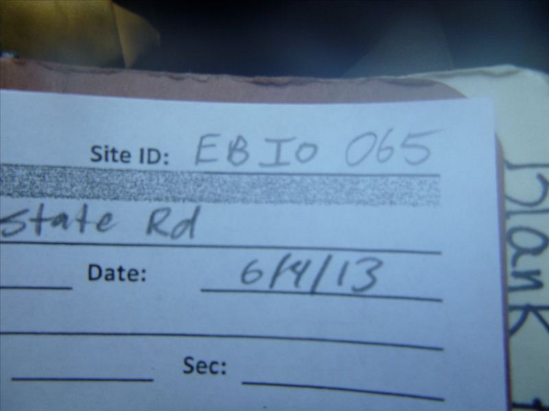
Site ID
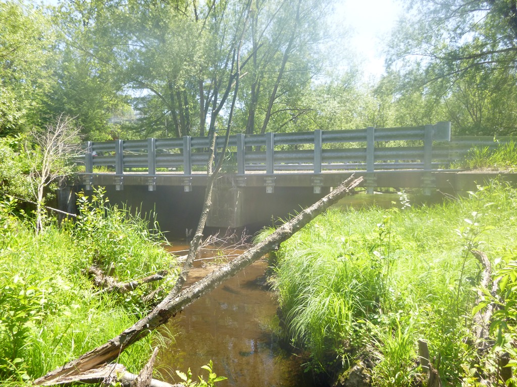
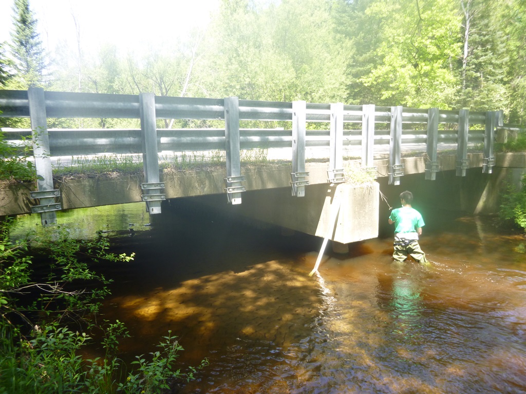
Inlet
Outlet
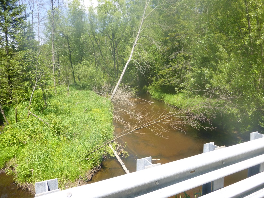
Upstream Conditions
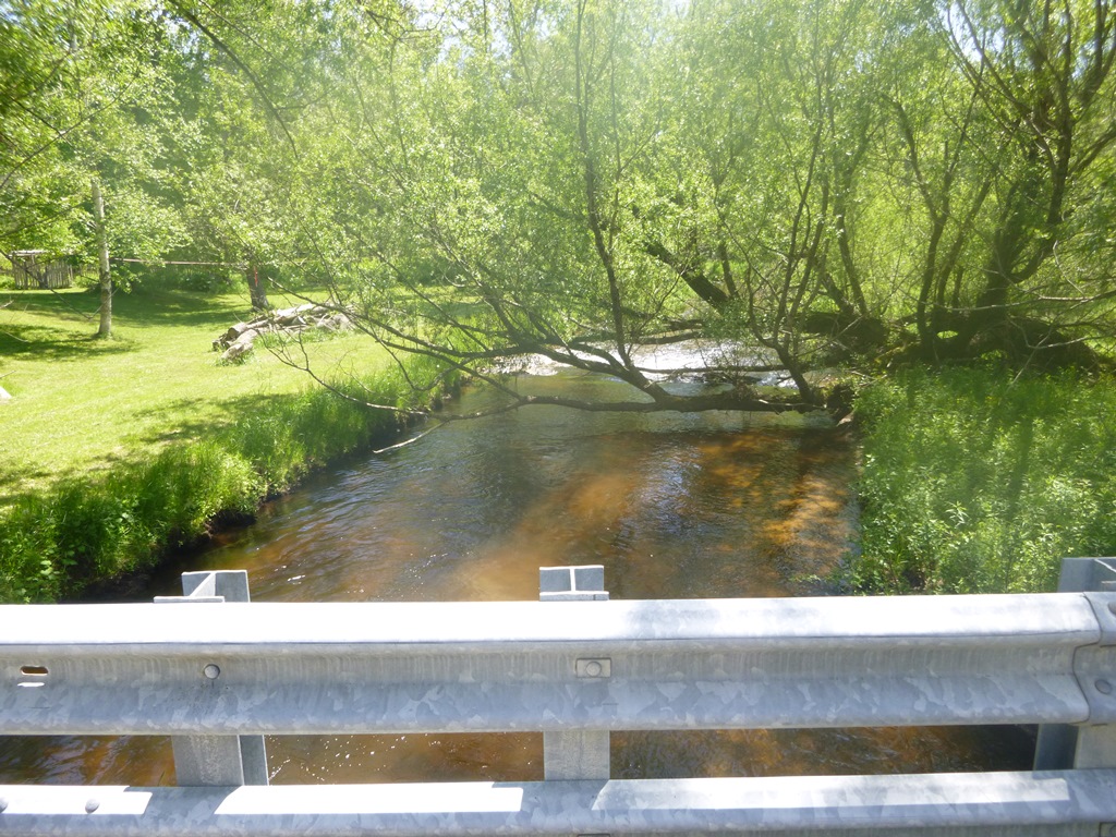
Downstream Conditions
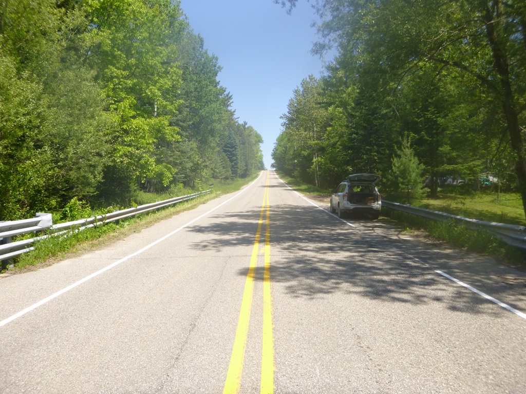
Road Approach - Left
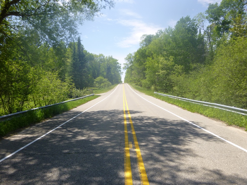
Road Approach - Right
Crossing Information
Type of Crossing: Bridge
Structure Shape: Open Bottom Square/Rectangle
Inlet Type: Other
Outlet Type: At Stream Grade
Structure Material: Concrete
Structure Substrate: Sand
General Conditions: Good
Structure Interior: smooth
Dimensions of Structure: Length 37 ft.
, Width 36 ft.
, Height 7.1 ft.
Structure is NOT Perched
Structure Inlet
Water Depth: 2.1 ft.
Embedded Depth of Structure: 0 ft.
Water Velocity*: 1.5 ft./sec.
Structure Outlet
Water Depth: 1.9 ft.
Embedded Depth of Structure: 0 ft.
Water Velocity*: 2 ft./sec.
*Water Velocities were measured 0.5 ft. below Surface
(with Meter)
Stream Information
Stream Flow: Less than Bankfull
Scour Pool: Length 0 ft.
, Width 0 ft.
, Depth 0 ft.
Upstream Pond: Length 0 ft.
, Width 0 ft.
, Depth 0 ft.
Riffle Information
Water Depth: 1.2 ft.
Bankfull Width: 39.6 ft.
Wetted Width: 28.8 ft.
Water Velocity: 3 ft./sec.
(Measured with Meter)
Dominant Substrate: Cobble
Road Information
Paved
County Road
Road Condition: Good
Road Width at Culvert: 34 ft.
Location of Low Point: At Stream
Runoff Path: Ditch
Fill Depth: 0 ft.
Slope: Vertical
Fill Depth: 0 ft.
Slope: Vertical
Approaches
Left Approach
Length: 900 ft.
Slope: 6% to 10%
Vegetation: Heavy
LS Factor: 1.98
Erosion: 2.0029 tons/year
Right Approach
Length: 1000 ft.
Slope: 6% to 10%
Vegetation: Heavy
LS Factor: 2.05
Erosion: 2.3041 tons/year
Erosion Information
Total Erosion at Crossing: 4.307 tons/year
Extent of Erosion: Moderate
Notes:
None.
Summary Information
Erosion is an area of concern for this site.
No
�