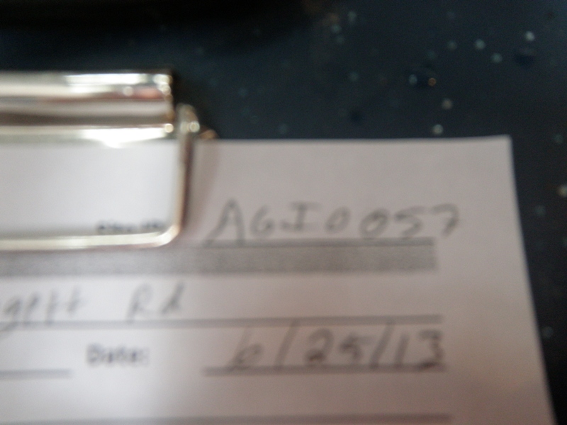
Road Stream Crossing Site AGIO057
Au Gres River Watershed, Tributary of Mongo Creek
Leggett Rd
Burleigh Twp,
Iosco County
Information collected by:
Site Location
GPS Coordinates: 44.21939
, -83.78208
T21N
R5E
Sec 12 & 13
Owned by Private
Fish Passability 0
Perch Height: 0.7 ft.
Total Erosion: 0.5545 tons/year
Severity: Severe
Year Inventoried: 2014
Site ID
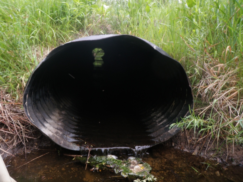
Inlet
Outlet

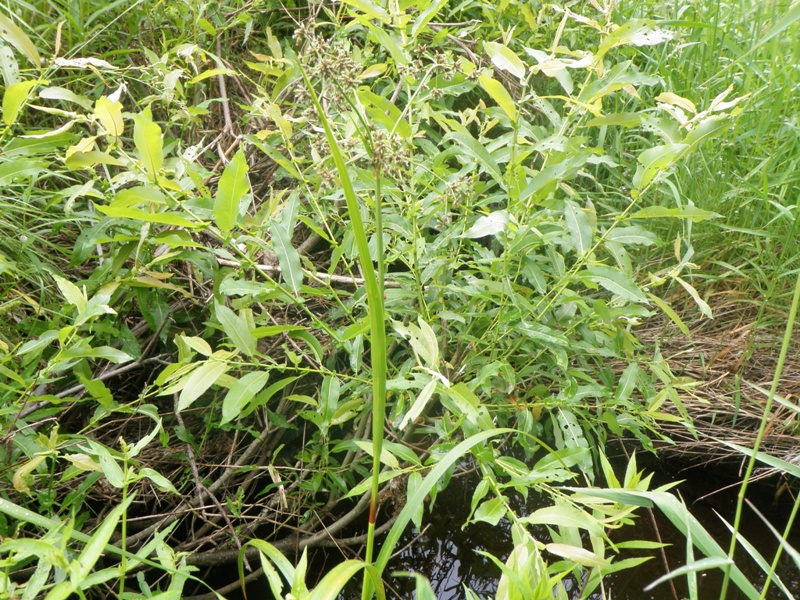
Upstream Conditions
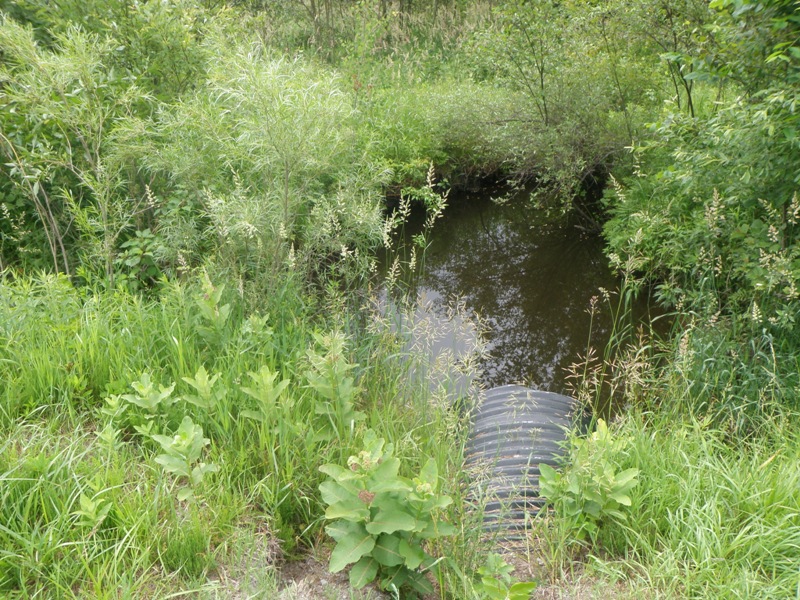
Downstream Conditions
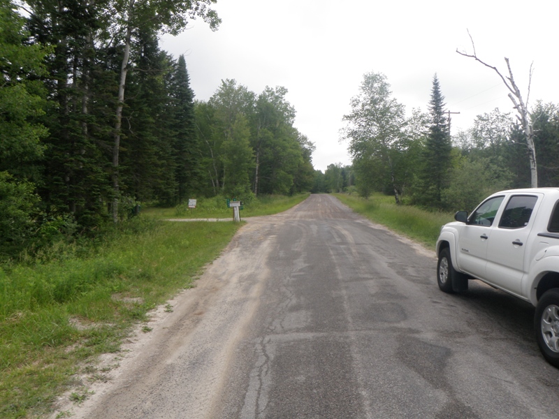
Road Approach - Left
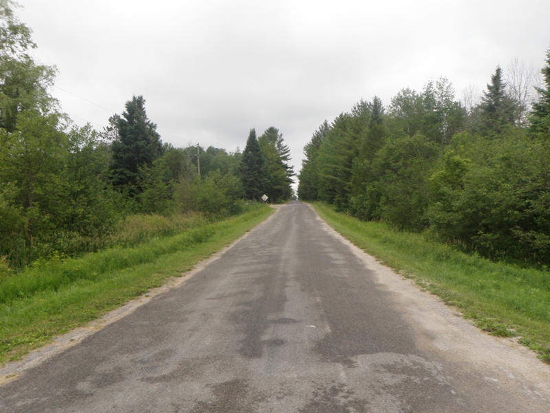
Road Approach - Right
Crossing Information
Type of Crossing: culvert(s)
Number of Structures: 1
Structure Shape: Ellipse
Inlet Type: Projecting
Outlet Type: Freefall into Pool
Structure Material: Metal
Structure Substrate: None
General Conditions: Good
Structure Interior: corrugated
Dimensions of Structure: Length 50 ft.
, Width 3.5 ft.
, Height 2.4 ft.
Perch Height: 0.7 ft.
Structure Inlet
Water Depth: 0.1 ft.
Embedded Depth of Structure: 0 ft.
Water Velocity*: 0.1 ft./sec.
Structure Outlet
Water Depth: 0.1 ft.
Embedded Depth of Structure: 0 ft.
Water Velocity*: 0.1 ft./sec.
*Water Velocities were measured 0.1 ft. below Surface
(with Meter)
Stream Information
Stream Flow: Less than 1/2 Bankfull
Scour Pool: Length 20.5 ft.
, Width 12 ft.
, Depth 2.7 ft.
Upstream Pond: Length 7.5 ft.
, Width 4 ft.
, Depth 1.4 ft.
Riffle Information
Water Depth: 0.3 ft.
Bankfull Width: 12 ft.
Wetted Width: 2.7 ft.
Water Velocity: 0.1 ft./sec.
(Measured with Meter)
Dominant Substrate: Gravel
Road Information
Paved
County Road
Road Condition: Fair
Road Width at Culvert: 23 ft.
Location of Low Point: At Stream
Runoff Path: Ditch
Embankments
Upstream
Fill Depth: 2.5 ft.
Slope: More than 1:2
Downstream
Fill Depth: 2.9 ft.
Slope: More than 1:2
Approaches
Left Approach
Length: 335 ft.
Slope: 1% to 5%
Vegetation: Heavy
LS Factor: 0.467
Erosion: 0.119 tons/year
Right Approach
Length: 1000 ft.
Slope: 1% to 5%
Vegetation: Heavy
LS Factor: 0.57
Erosion: 0.4334 tons/year
Erosion Information
Total Erosion at Crossing: 0.5545 tons/year
Extent of Erosion: Minor
Notes: Erosion above culvert outlet.
Location of Erosion | Erosion Dimensions | Eroded Material | Material Eroded | Total Erosion | ||
facing downstream | Length | Width | Depth | Reaching Stream? | (tons/year) | |
Left Downstream Embankment |
2 ft. |
1 ft. |
1 ft. |
yes |
Sand |
0.0022 |
Summary Information
Fish Passability 0
These non-native species were observerd at this site: Spotted Knapweed, Autumn Olive
�