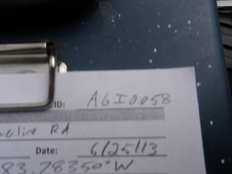
Road Stream Crossing Site AGIO058
Au Gres River Watershed, Mongo Creek
Towerline Rd
Burleigh Twp,
Iosco County
Information collected by:
Site Location
GPS Coordinates: 44.20781
, -83.7835
T21N
R5E
Sec 13 & 14
Owned by Private
Fish Passability 0
Perch Height: 1.1 ft.
Total Erosion: 6.8368 tons/year
Severity: Severe
Year Inventoried: 2014
Site ID
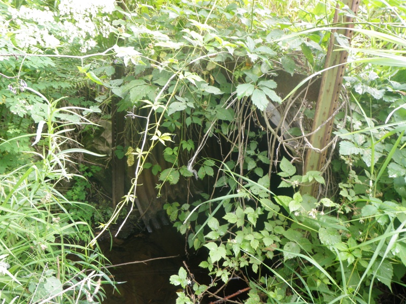
Inlet
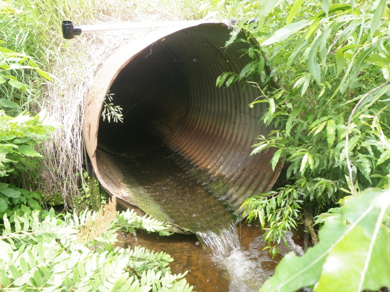
Outlet
Upstream Conditions
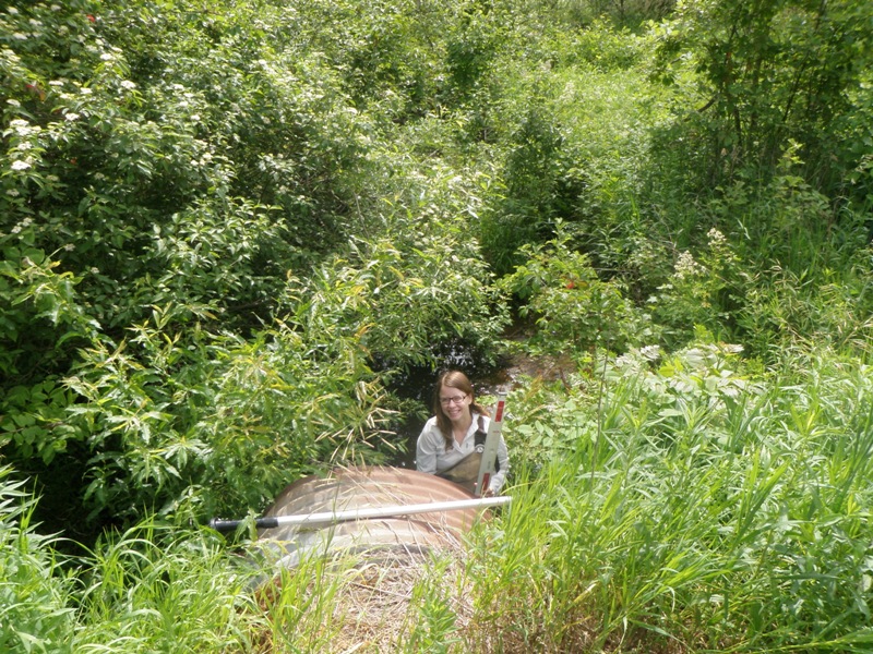
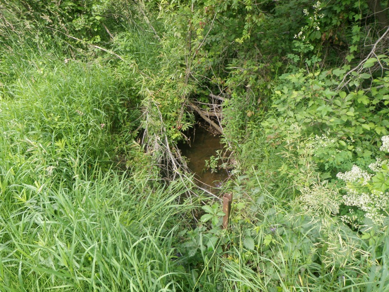
Downstream Conditions
Road Approach - Left
Road Approach - Right
Crossing Information
Type of Crossing: culvert(s)
Number of Structures: 1
Structure Shape: Round
Inlet Type: Projecting
Outlet Type: Freefall into Pool
Structure Material: Metal
Structure Substrate: None
General Conditions: Fair
Structure Interior: corrugated
Dimensions of Structure: Length 20 ft.
, Width 4.1 ft.
, Height 4.1 ft.
Perch Height: 1.1 ft.
Structure Inlet
Water Depth: 0.5 ft.
Embedded Depth of Structure: 0 ft.
Water Velocity*: 0.2 ft./sec.
Structure Outlet
Water Depth: 0.2 ft.
Embedded Depth of Structure: 0 ft.
Water Velocity*: 3.4 ft./sec.
*Water Velocities were measured 0.5 ft. below Surface
(with Meter)
Stream Information
Stream Flow: Less than Bankfull
Scour Pool: Length 9 ft.
, Width 8.8 ft.
, Depth 1.5 ft.
Upstream Pond: Length 0 ft.
, Width 0 ft.
, Depth 0 ft.
Riffle Information
Water Depth: 0.4 ft.
Bankfull Width: 9.2 ft.
Wetted Width: 4.7 ft.
Water Velocity: 1.3 ft./sec.
(Measured with Meter)
Dominant Substrate: Gravel
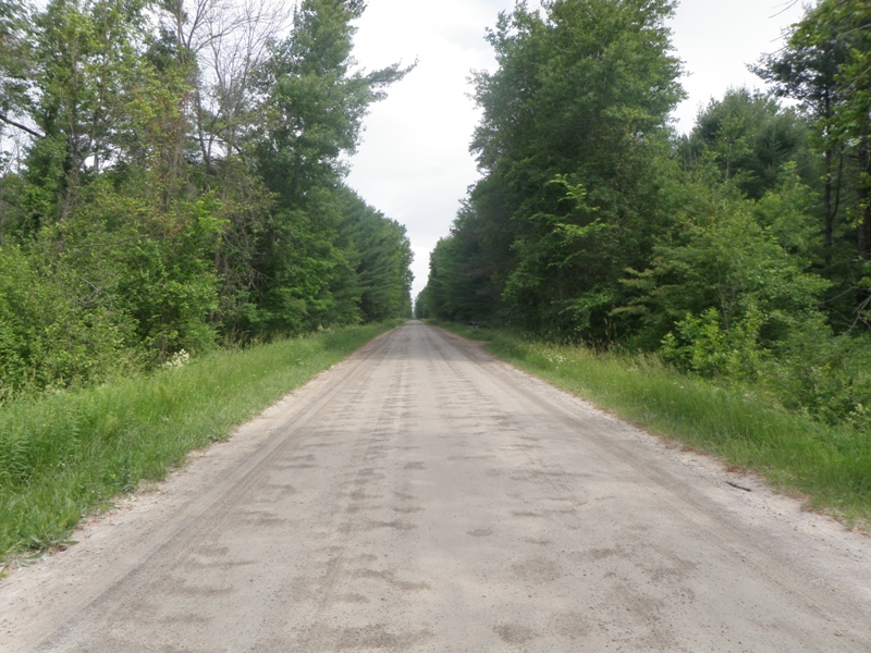
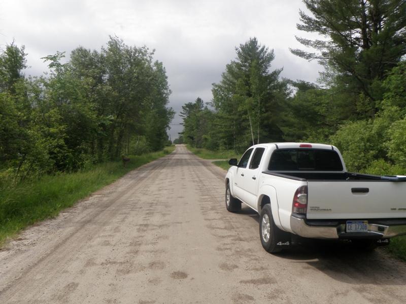
Road Information
Gravel
County Road
Road Condition: Good
Road Width at Culvert: 40 ft.
Location of Low Point: At Stream
Runoff Path: Ditch
Embankments
Upstream
Fill Depth: 1.7 ft.
Slope: More than 1:2
Downstream
Fill Depth: 1.8 ft.
Slope: More than 1:2
Approaches
Left Approach
Length: 1000 ft.
Slope: Less Than 1%
Vegetation: Heavy
LS Factor: 0.05
Erosion: 0.551 tons/year
Right Approach
Length: 1000 ft.
Slope: 1% to 5%
Vegetation: Heavy
LS Factor: 0.57
Erosion: 6.281 tons/year
Erosion Information
Total Erosion at Crossing: 6.8368 tons/year
Extent of Erosion: Minor
Notes: Undercutting along downstream right streambank.
Location of Erosion | Erosion Dimensions | Eroded Material | Material Eroded | Total Erosion | ||
facing downstream | Length | Width | Depth | Reaching Stream? | (tons/year) | |
Right Downstream Streambank |
5 ft. |
0.7 ft. |
1 ft. |
yes |
Sandy Loam |
0.0048 |
Summary Information
Fish Passability 0
A future visit to this site is recommended. Replace/reset culvert to facilitate fish passage.
�