Road Stream Crossing Site CHAR_HA01
Lake Charlevoix Watershed, Horton Creek
Church Rd
Hayes Twp,
Charlevoix County
Information collected by:
Site Location
GPS Coordinates: 45.32132
, -85.10088
T34N
R07W
Sec 25
Owned by Private
Total Erosion: 7.2522 tons/year
Severity: Severe
Year Inventoried: 2011
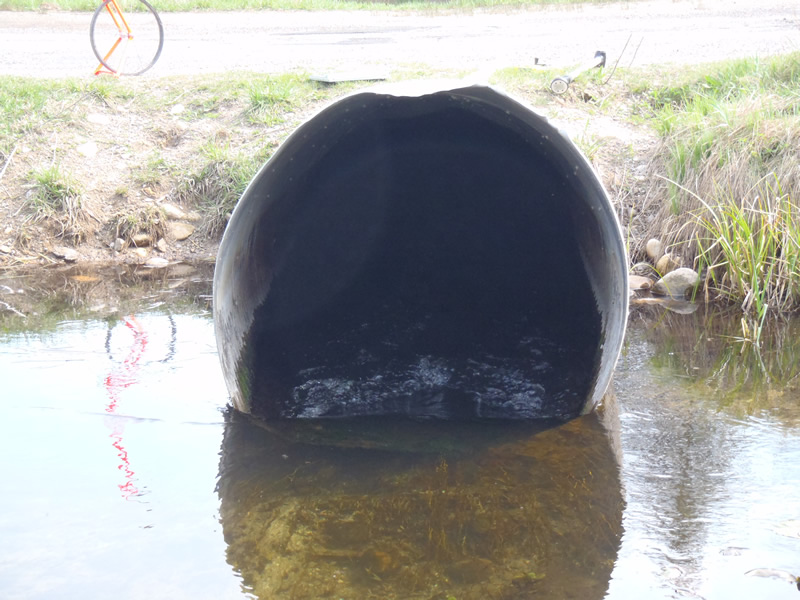
Inlet
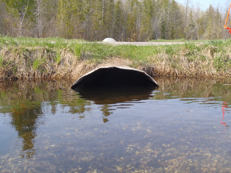
Outlet
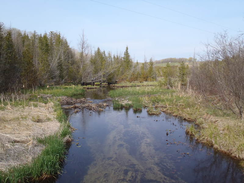
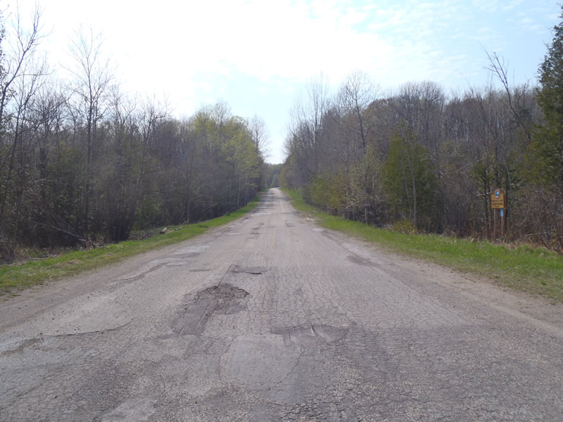
Upstream Conditions
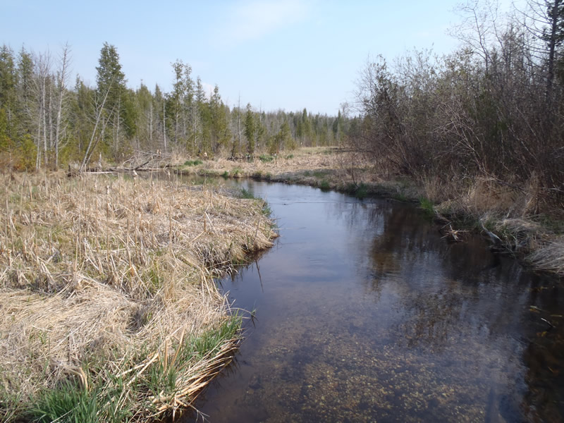
Downstream Conditions
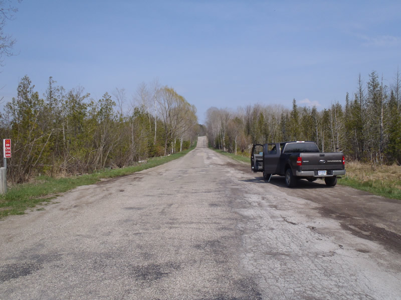
Road Approach - Left
Road Approach - Right
Crossing Information
Type of Crossing: culvert(s)
Number of Structures: 1
Structure Shape: Ellipse
Inlet Type: Projecting
Outlet Type: At Stream Grade
Structure Material: Metal
Structure Substrate: Rock
General Conditions: Fair
Structure Interior: corrugated
Dimensions of Structure: Length 50 ft.
, Width 3.6 ft.
, Height 4.3 ft.
Structure Inlet
Water Depth: 1.25 ft.
Embedded Depth of Structure: 0 ft.
Water Velocity*: 4.2 ft./sec.
Structure Outlet
Water Depth: 2.39 ft.
Embedded Depth of Structure: 0 ft.
Water Velocity*: 0.9 ft./sec.
*Water Velocities were measured 0.6 ft. below Surface
(with Meter)
Additional Comments
Culvert is set above stream grade. The inlet is 0.6ft above the streambed and the outlet is 0.1 ft above the streambed
Stream Information
Stream Flow: Bankfull
Scour Pool: Length 5 ft.
, Width 7 ft.
, Depth 239 ft.
Riffle Information
Water Depth: 0.9 ft.
Bankfull Width: 16 ft.
Wetted Width: 16 ft.
Water Velocity: 0.7 ft./sec.
(Measured with Meter)
Dominant Substrate: Sand
Road Information
Paved
County Road
Road Condition: Poor
Road Width at Culvert: 28 ft.
Location of Low Point: At Stream
Runoff Path: Roadway
Embankments
Upstream
Fill Depth: 0.5 ft.
Slope: Vertical
Downstream
Fill Depth: 0.5 ft.
Slope: Vertical
Approaches
Left Approach
Length: 1000 ft.
Slope: More Than 10%
Vegetation: Heavy
LS Factor: 5.785
Erosion: 5.3547 tons/year
Right Approach
Length: 1000 ft.
Slope: 6% to 10%
Vegetation: Heavy
LS Factor: 2.05
Erosion: 1.8975 tons/year
Erosion Information
Total Erosion at Crossing: 7.2522 tons/year
Extent of Erosion: Moderate
Notes: There is scouring all around the inlet and the embankments need vegetation for stabilization
Summary Information
Erosion is an area of concern for this site.
Culvert needs to be reset at stream grade
A future visit to this site is recommended. To establish the extent of erosion
�