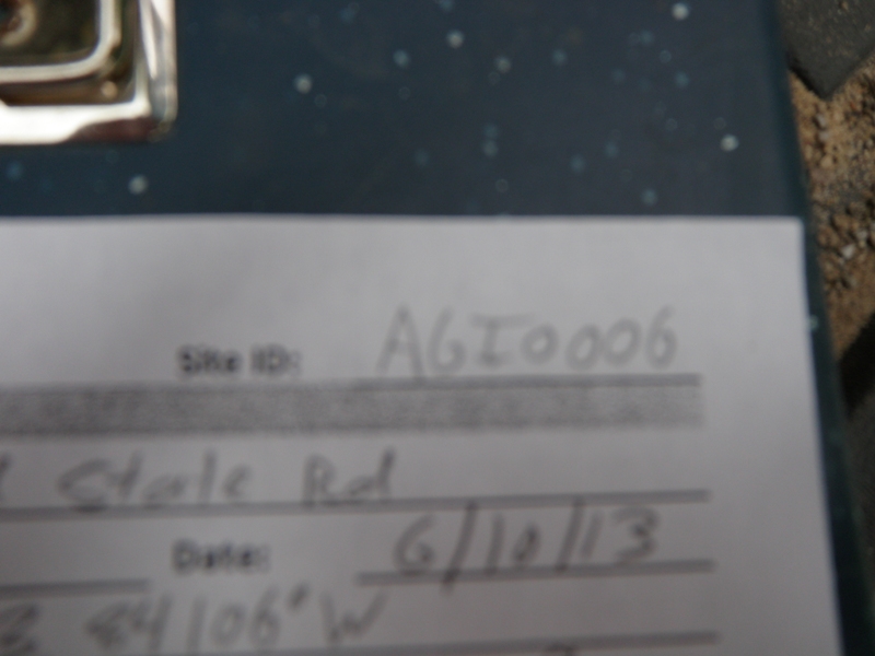
Road Stream Crossing Site AGIO006
Au Gres River Watershed, Hope Creek
Old State Rd
Reno Twp,
Iosco County
Information collected by:
Site Location
GPS Coordinates: 44.31292
, -83.84106
T22N
R5E
Sec 9
Owned by Private
Fish Passability 0.9
Structure is NOT Perched
Total Erosion: 0.5023 tons/year
Severity: Moderate
Year Inventoried: 2014
Site ID
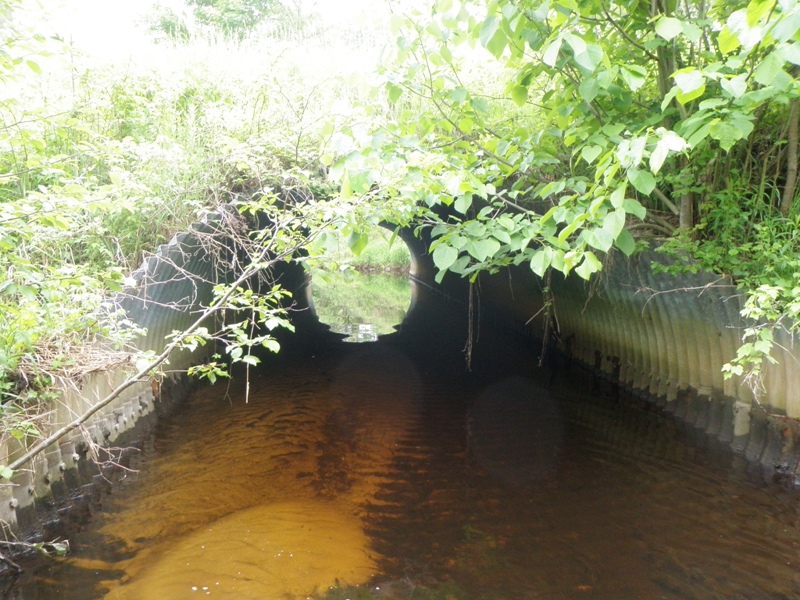
Inlet
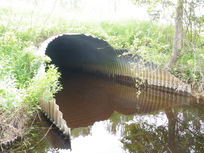
Outlet
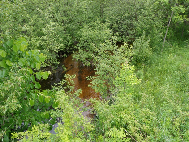
Upstream Conditions
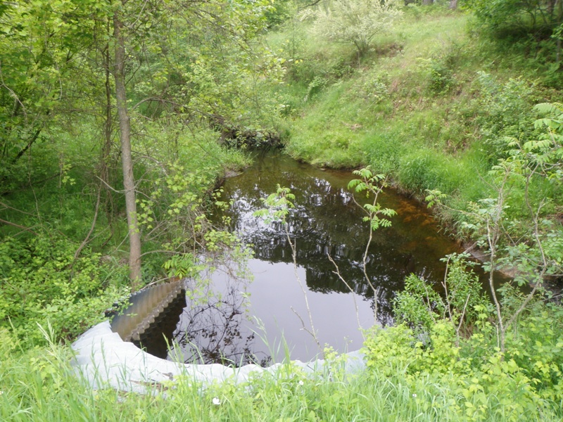
Downstream Conditions
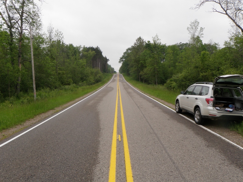
Road Approach - Left
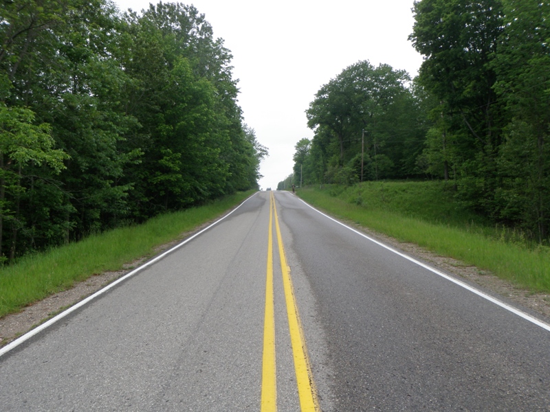
Road Approach - Right
Crossing Information
Type of Crossing: culvert(s)
Number of Structures: 1
Structure Shape: Pipe Arch
Inlet Type: Mitered
Outlet Type: Freefall into Pool
Structure Material: Metal
Structure Substrate: Sand
General Conditions: Good
Structure Interior: corrugated
Dimensions of Structure: Length 52 ft.
, Width 13 ft.
, Height 8 ft.
Structure is NOT Perched
Structure Inlet
Water Depth: 1.5 ft.
Embedded Depth of Structure: 0.6 ft.
Water Velocity*: 0.4 ft./sec.
Structure Outlet
Water Depth: 1.5 ft.
Embedded Depth of Structure: 0.1 ft.
Water Velocity*: 0.1 ft./sec.
*Water Velocities were measured 0.5 ft. below Surface
(with Meter)
Stream Information
Stream Flow: Less than 1/2 Bankfull
Scour Pool: Length 25 ft.
, Width 21 ft.
, Depth 4 ft.
Upstream Pond: Length 0 ft.
, Width 0 ft.
, Depth 0 ft.
Riffle Information
Water Depth: 1 ft.
Bankfull Width: 21 ft.
Wetted Width: 9.8 ft.
Water Velocity: 0.5 ft./sec.
(Measured with Meter)
Dominant Substrate: Gravel
Road Information
Paved
County Road
Road Condition: Good
Road Width at Culvert: 26 ft.
Location of Low Point: At Stream
Runoff Path: Ditch
Embankments
Upstream
Fill Depth: 3.4 ft.
Slope: More than 1:2
Downstream
Fill Depth: 3.7 ft.
Slope: More than 1:2
Approaches
Left Approach
Length: 597 ft.
Slope: 1% to 5%
Vegetation: Heavy
LS Factor: 0.519
Erosion: 0.2665 tons/year
Right Approach
Length: 540 ft.
Slope: 1% to 5%
Vegetation: Heavy
LS Factor: 0.508
Erosion: 0.2358 tons/year
Erosion Information
Total Erosion at Crossing: 0.5023 tons/year
Notes: None.
Summary Information
Fish Passability 0.9
�