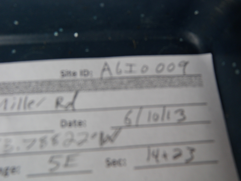
Road Stream Crossing Site AGIO009
Au Gres River Watershed, Latter Creek
Miller Rd
Reno Twp,
Iosco County
Information collected by:
Site Location
GPS Coordinates: 44.29164
, -83.78822
T22N
R5E
Sec 14 & 23
Owned by Private
Fish Passability 0.5
Structure is NOT Perched
Total Erosion: 4.5066 tons/year
Severity: Severe
Year Inventoried: 2014
Site ID
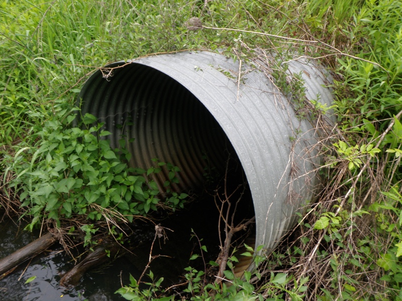
Inlet
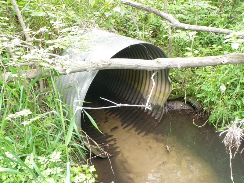
Outlet
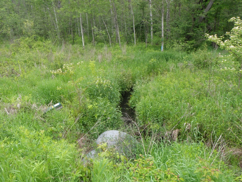
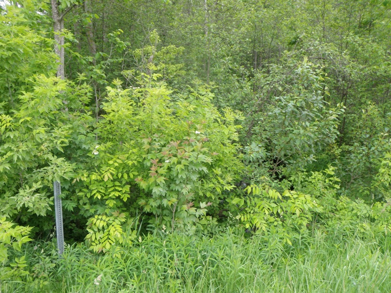
Upstream Conditions
Downstream Conditions
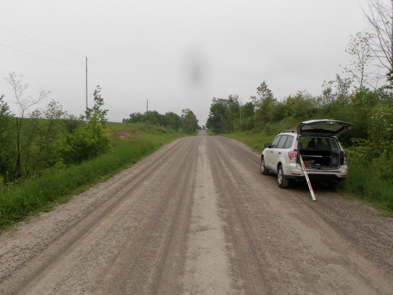
Road Approach - Left
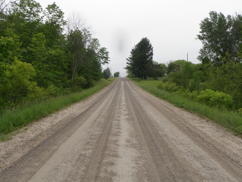
Road Approach - Right
Crossing Information
Type of Crossing: culvert(s)
Number of Structures: 1
Structure Shape: Round
Inlet Type: Projecting
Outlet Type: At Stream Grade
Structure Material: Metal
Structure Substrate: Sand
General Conditions: Good
Structure Interior: corrugated
Dimensions of Structure: Length 58 ft.
, Width 4 ft.
, Height 4 ft.
Structure is NOT Perched
Structure Inlet
Water Depth: 0.3 ft.
Embedded Depth of Structure: 0 ft.
Water Velocity*: 2.4 ft./sec.
Structure Outlet
Water Depth: 0.5 ft.
Embedded Depth of Structure: 0.1 ft.
Water Velocity*: 0.8 ft./sec.
*Water Velocities were measured 0.2 ft. below Surface
(with Meter)
Stream Information
Stream Flow: Less than 1/2 Bankfull
Scour Pool: Length 0 ft.
, Width 0 ft.
, Depth 0 ft.
Upstream Pond: Length 5 ft.
, Width 9 ft.
, Depth 1.7 ft.
Riffle Information
Water Depth: 0.2 ft.
Bankfull Width: 18.5 ft.
Wetted Width: 6 ft.
Water Velocity: 1.3 ft./sec.
(Measured with Meter)
Dominant Substrate: Gravel
Road Information
Gravel
County Road
Road Condition: Good
Road Width at Culvert: 25 ft.
Location of Low Point: At Stream
Runoff Path: Ditch
Embankments
Upstream
Fill Depth: 4.9 ft.
Slope: More than 1:2
Downstream
Fill Depth: 4.6 ft.
Slope: More than 1:2
Approaches
Left Approach
Length: 197 ft.
Slope: 1% to 5%
Vegetation: Heavy
LS Factor: 0.428
Erosion: 0.581 tons/year
Right Approach
Length: 1000 ft.
Slope: 1% to 5%
Vegetation: Heavy
LS Factor: 0.57
Erosion: 3.9256 tons/year
Erosion Information
Total Erosion at Crossing: 4.5066 tons/year
Notes: None.
Summary Information
Fish Passability 0.5
�