Road Stream Crossing Site AGIO016
Au Gres River Watershed, Latter Creek
Towerline Rd
Reno Twp,
Iosco County
Information collected by:
Site Location
GPS Coordinates: 44.27211
, -83.78368
T22N
R5E
Sec 26 & 25
Owned by Private
Fish Passability 0
Perch Height: 0.3 ft.
Total Erosion: 3.2286 tons/year
Severity: Severe
Year Inventoried: 2014
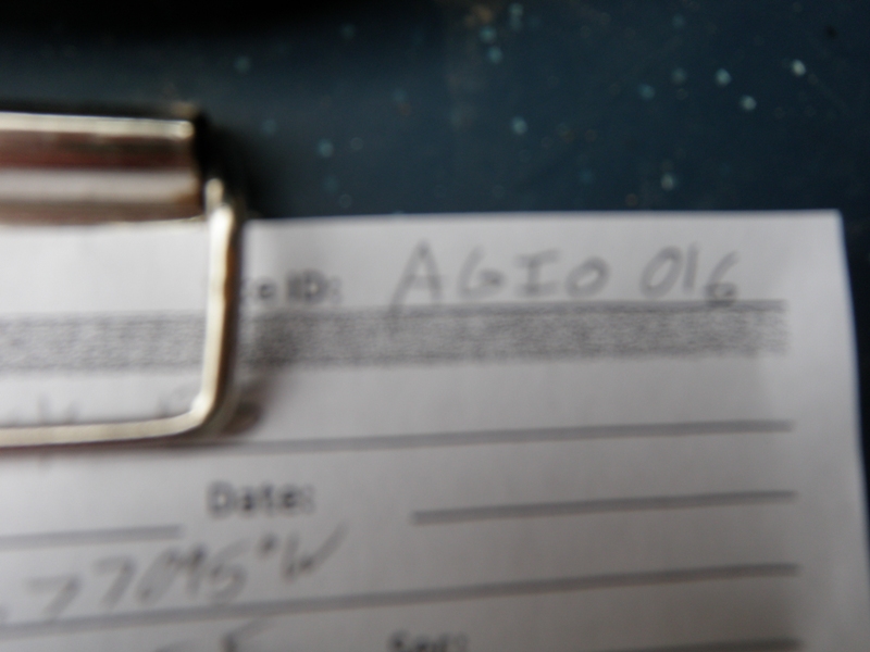
Site ID
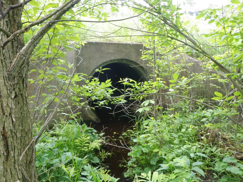
Inlet

Outlet
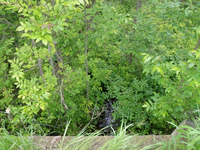
Upstream Conditions
Downstream Conditions
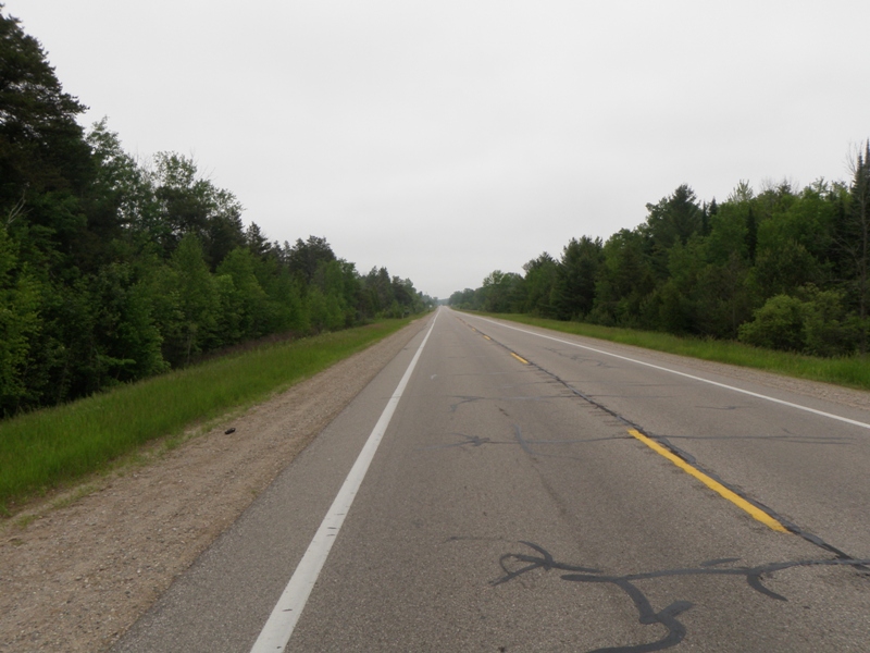
Road Approach - Left
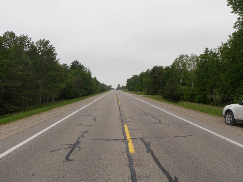
Road Approach - Right
Crossing Information
Type of Crossing: Other
Structure Shape: Round
Inlet Type: Other
Outlet Type: Freefall into Pool
Structure Material: Metal
Structure Substrate: None
General Conditions: Fair
Structure Interior: corrugated
Dimensions of Structure: Length 80 ft.
, Width 5 ft.
, Height 5 ft.
Perch Height: 0.3 ft.
Structure Inlet
Water Depth: 0.6 ft.
Embedded Depth of Structure: 0 ft.
Water Velocity*: 9.7 ft./sec.
Structure Outlet
Water Depth: 0.7 ft.
Embedded Depth of Structure: 0 ft.
Water Velocity*: 1.5 ft./sec.
*Water Velocities were measured 0.3 ft. below Surface
(with Meter)
Stream Information
Stream Flow: Less than 1/2 Bankfull
Scour Pool: Length 36 ft.
, Width 27 ft.
, Depth 2.7 ft.
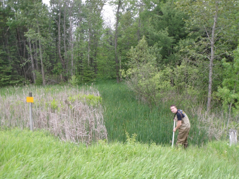
Upstream Pond: Length 1000 ft.
, Width 1000 ft.
, Depth 10 ft.
Riffle Information
Water Depth: 0.5 ft.
Bankfull Width: 24 ft.
Wetted Width: 6 ft.
Water Velocity: 2.2 ft./sec.
(Measured with Meter)
Dominant Substrate: Cobble
Road Information
Gravel
County Road
Road Condition: Good
Road Width at Culvert: 21 ft.
Location of Low Point: At Stream
Runoff Path: Ditch
Embankments
Upstream
Fill Depth: 3.5 ft.
Slope: More than 1:2
Downstream
Fill Depth: 6.2 ft.
Slope: More than 1:2
Approaches
Left Approach
Length: 530 ft.
Slope: 1% to 5%
Vegetation: Heavy
LS Factor: 0.506
Erosion: 1.5515 tons/year
Right Approach
Length: 540 ft.
Slope: 1% to 5%
Vegetation: Heavy
LS Factor: 0.508
Erosion: 1.587 tons/year
Erosion Information
Total Erosion at Crossing: 3.2286 tons/year
Extent of Erosion: Moderate
Notes: Large erosion site and scour hole, but material is now clay so severity only moderate.
Location of Erosion | Erosion Dimensions | Eroded Material | Material Eroded | Total Erosion | ||
facing downstream | Length | Width | Depth | Reaching Stream? | (tons/year) | |
Right Downstream Streambank |
8 ft. |
65 ft. |
2.3 ft. |
yes |
Clay |
0.0902 |
Summary Information
Fish Passability 0
Erosion is an area of concern for this site.
Both a complete fish passage barrier and causing significant erosion. Also, the impounded pond upstream is altering habitat and stream characteristics.
A future visit to this site is recommended. Mitigate erosion, un-impound stream if possible to reconnect headwater areas and return normal stream functions.
These non-native species were observerd at this site: Spotted Knapweed
�