Road Stream Crossing Site AGIO022
Au Gres River Watershed, Au Gres River
M-55
Reno Twp,
Iosco County
Information collected by:
Site Location
GPS Coordinates: 44.27697
, -83.86597
T22N
R5E
Sec 19 & 30
Owned by Private
Fish Passability 0
Structure is NOT Perched
Total Erosion: 2.5286 tons/year
Severity: Severe
Year Inventoried: 2014
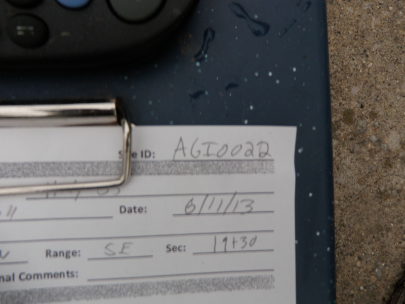
Site ID
Inlet
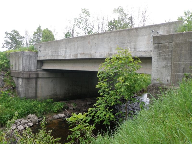
Outlet
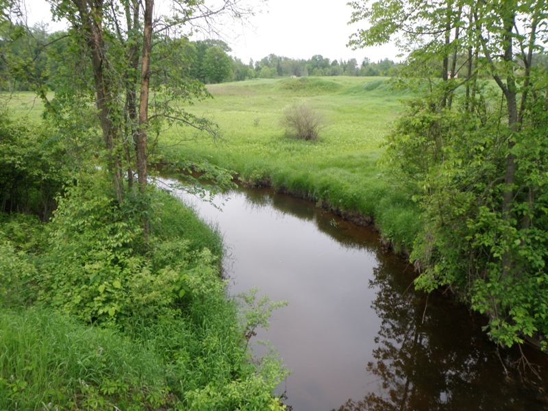
Upstream Conditions
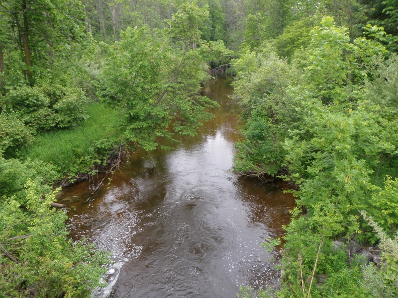
Downstream Conditions
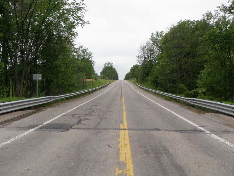
Road Approach - Left
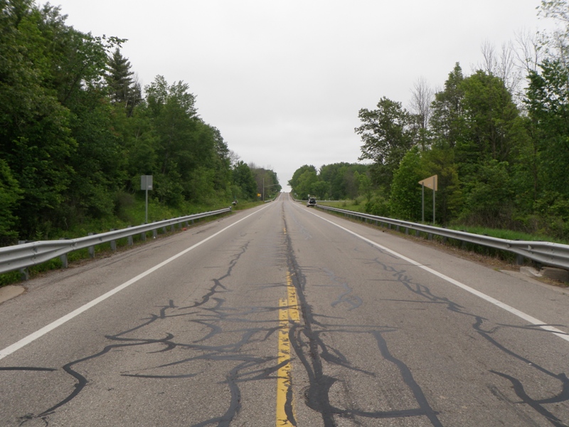
Road Approach - Right
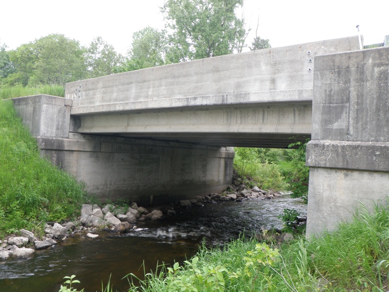
Crossing Information
Type of Crossing: Bridge
Structure Shape: Open Bottom Square/Rectangle
Inlet Type: Other
Outlet Type: At Stream Grade
Structure Material: Concrete
Structure Substrate: Mixture
General Conditions: Good
Structure Interior: smooth
Dimensions of Structure: Length 39 ft.
, Width 32 ft.
, Height 12 ft.
Structure is NOT Perched
Structure Inlet
Water Depth: 1.2 ft.
Embedded Depth of Structure: 0 ft.
Water Velocity*: 3.2 ft./sec.
Structure Outlet
Water Depth: 2.3 ft.
Embedded Depth of Structure: 0 ft.
Water Velocity*: 2.4 ft./sec.
*Water Velocities were measured 0.5 ft. below Surface
(with Meter)
Stream Information
Stream Flow: Less than Bankfull
Scour Pool: Length 50 ft.
, Width 35 ft.
, Depth 5.5 ft.
Upstream Pond: Length 0 ft.
, Width 0 ft.
, Depth 0 ft.
Riffle Information
Water Depth: 0.9 ft.
Bankfull Width: 50 ft.
Wetted Width: 28 ft.
Water Velocity: 1.1 ft./sec.
(Measured with Meter)
Dominant Substrate: Gravel
Road Information
Paved
State Road
Road Condition: Good
Road Width at Culvert: 35 ft.
Location of Low Point: At Stream
Runoff Path: Ditch
Fill Depth: 0 ft.
Slope: Vertical
Fill Depth: 0 ft.
Slope: Vertical
Approaches
Left Approach
Length: 1000 ft.
Slope: 1% to 5%
Vegetation: Heavy
LS Factor: 0.57
Erosion: 0.6595 tons/year
Right Approach
Length: 1000 ft.
Slope: 1% to 5%
Vegetation: Heavy
LS Factor: 0.57
Erosion: 0.6595 tons/year
Erosion Information
Total Erosion at Crossing: 2.5286 tons/year
Extent of Erosion: Moderate
Notes: Both downstream banks moderately undercutting/eroding.
Location of Erosion | Erosion Dimensions | Eroded Material | Material Eroded | Total Erosion | ||
facing downstream | Length | Width | Depth | Reaching Stream? | (tons/year) | |
Left Downstream Streambank |
50 ft. |
1 ft. |
3 ft. |
yes |
Sandy Loam |
1.008 |
Right Downstream Streambank |
20 ft. |
1 ft. |
1.5 ft. |
yes |
Sandy Loam |
0.2016 |
Summary Information
Fish Passability 0
These non-native species were observerd at this site: Spotted Knapweed, Autumn Olive
�