Road Stream Crossing Site AGIO026
Au Gres River Watershed, Porterfield Creek
Portlo Rd
Reno Twp,
Iosco County
Information collected by:
Site Location
GPS Coordinates: 44.24816
, -83.85505
T22N
R5E
Sec 32
Owned by Private
Fish Passability 0.5
Structure is NOT Perched
Total Erosion: 5.0288 tons/year
Severity: Severe
Year Inventoried: 2014
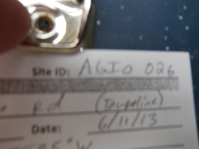
Site ID
Inlet
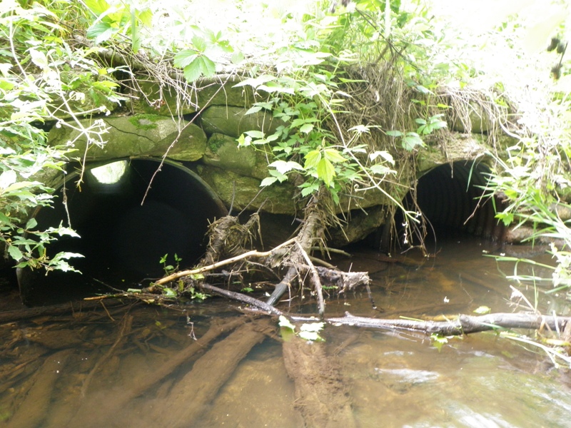
Outlet
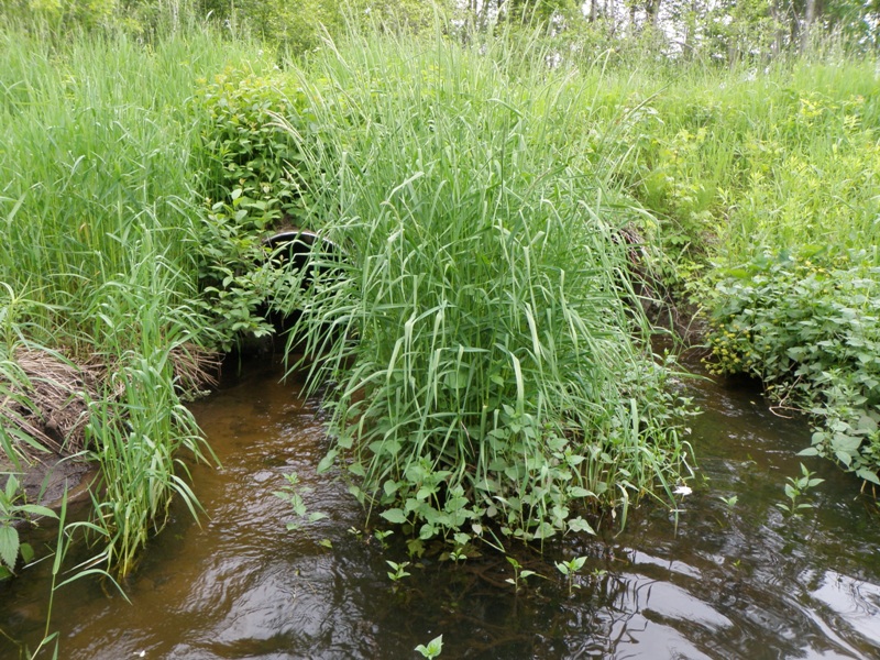
Upstream Conditions
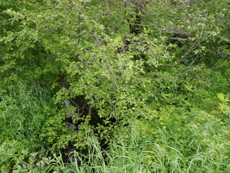
Downstream Conditions
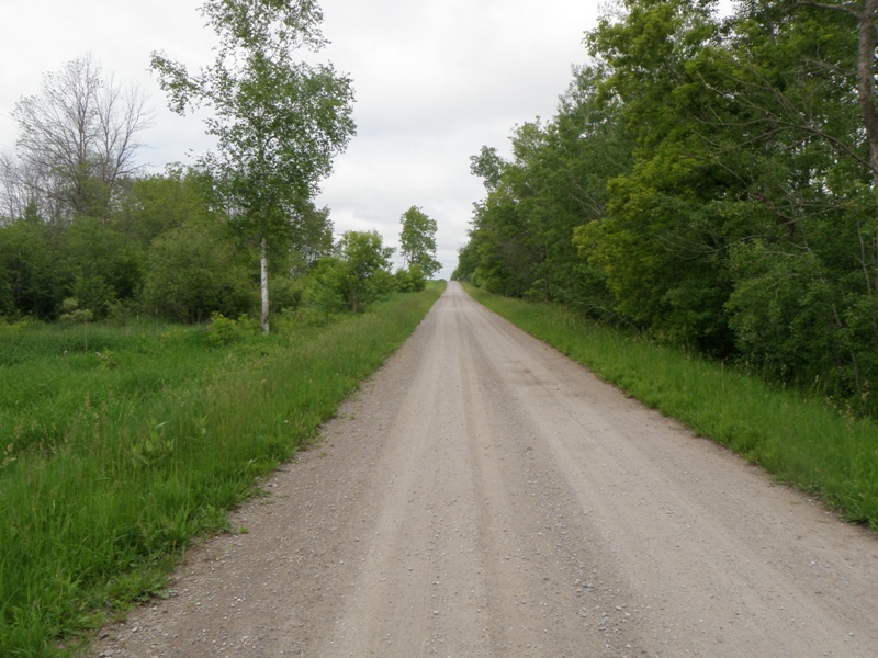
Road Approach - Left
Road Approach - Right
Crossing Information
Type of Crossing: culvert(s)
Number of Structures: 2
Structure Shape: Round
Inlet Type: Headwall
Outlet Type: At Stream Grade
Structure Material: Metal
Structure Substrate: None
General Conditions: Fair
Multiple Culverts/Spans | ||||
Culvert/Span | Width | Length | Height | Material |
1 |
2.6 ft. |
31 ft. |
2.6 ft. |
Metal |
2 |
2.6 ft. |
31 ft. |
2.6 ft. |
Metal |
Structure Interior: corrugated
Dimensions of Structure: Length 31 ft.
, Width 2.6 ft.
, Height 2.6 ft.
Structure is NOT Perched
Structure Inlet
Water Depth: 0.9 ft.
Embedded Depth of Structure: 0 ft.
Water Velocity*: 0.3 ft./sec.
Structure Outlet
Water Depth: 0.2 ft.
Embedded Depth of Structure: 0 ft.
Water Velocity*: 2.3 ft./sec.
*Water Velocities were measured 0.5 ft. below Surface
(with Meter)
Stream Information
Stream Flow: Less than Bankfull
Scour Pool: Length 0 ft.
, Width 0 ft.
, Depth 0 ft.
Upstream Pond: Length 0 ft.
, Width 0 ft.
, Depth 0 ft.
Riffle Information
Water Depth: 0.4 ft.
Bankfull Width: 7 ft.
Wetted Width: 4.4 ft.
Water Velocity: 1.1 ft./sec.
(Measured with Meter)
Dominant Substrate: Gravel
Road Information
Gravel
County Road
Road Condition: Good
Road Width at Culvert: 16 ft.
Location of Low Point: At Stream
Runoff Path: Ditch
Embankments
Upstream
Fill Depth: 1.5 ft.
Slope: More than 1:2
Downstream
Fill Depth: 2 ft.
Slope: More than 1:2
Approaches
Left Approach
Length: 1000 ft.
Slope: 1% to 5%
Vegetation: Heavy
LS Factor: 0.57
Erosion: 2.5124 tons/year
Right Approach
Length: 1000 ft.
Slope: 1% to 5%
Vegetation: Heavy
LS Factor: 0.57
Erosion: 2.5124 tons/year
Erosion Information
Total Erosion at Crossing: 5.0288 tons/year
Extent of Erosion: Minor
Notes: Eroded hole between two culvert inlets on upstream embankment.
Location of Erosion | Erosion Dimensions | Eroded Material | Material Eroded | Total Erosion | ||
facing downstream | Length | Width | Depth | Reaching Stream? | (tons/year) | |
Left Upstream Embankment |
1.8 ft. |
1.4 ft. |
2 ft. |
yes |
Sand |
0.004 |
Summary Information
Fish Passability 0.5
�