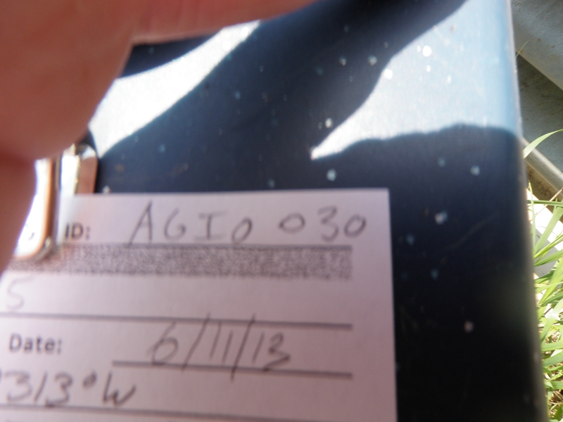
Road Stream Crossing Site AGIO030
Au Gres River Watershed, Au Gres River
M-65
Reno Twp,
Iosco County
Information collected by:
Site Location
GPS Coordinates: 44.26289
, -83.80313
T22N
R5E
Sec 34 & 35
Owned by Private
Fish Passability 1
Structure is NOT Perched
Total Erosion: 0.5088 tons/year
Severity: Minor
Year Inventoried: 2014
Site ID
Inlet
Outlet
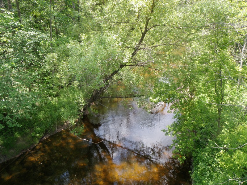
Upstream Conditions
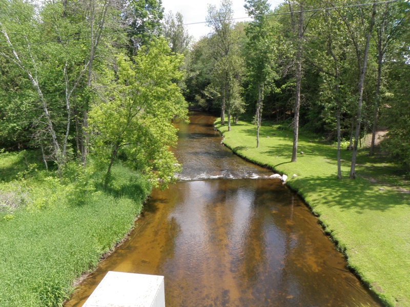
Downstream Conditions
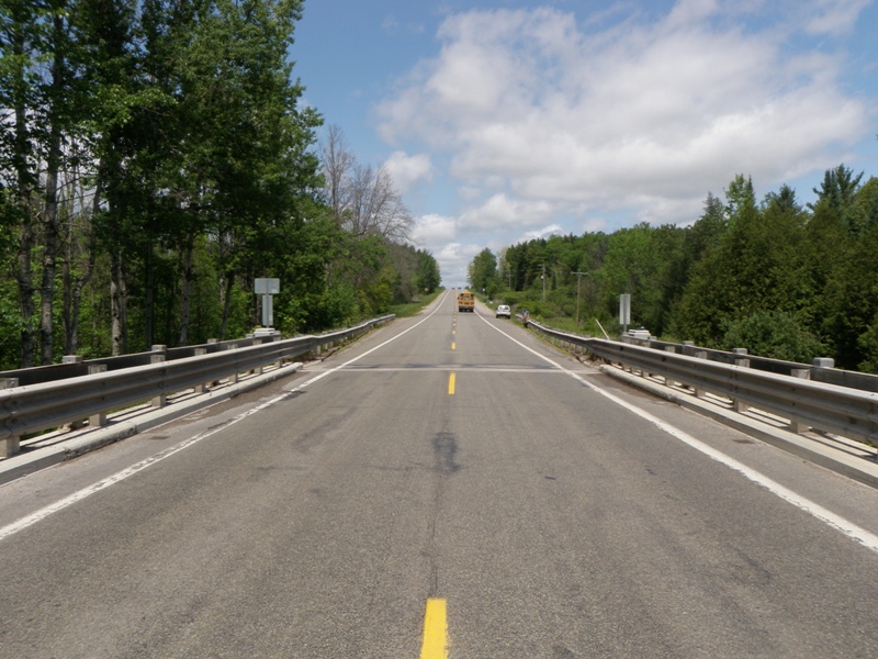
Road Approach - Left
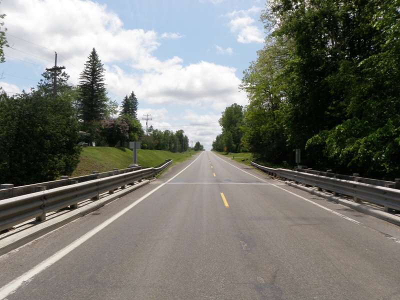
Road Approach - Right
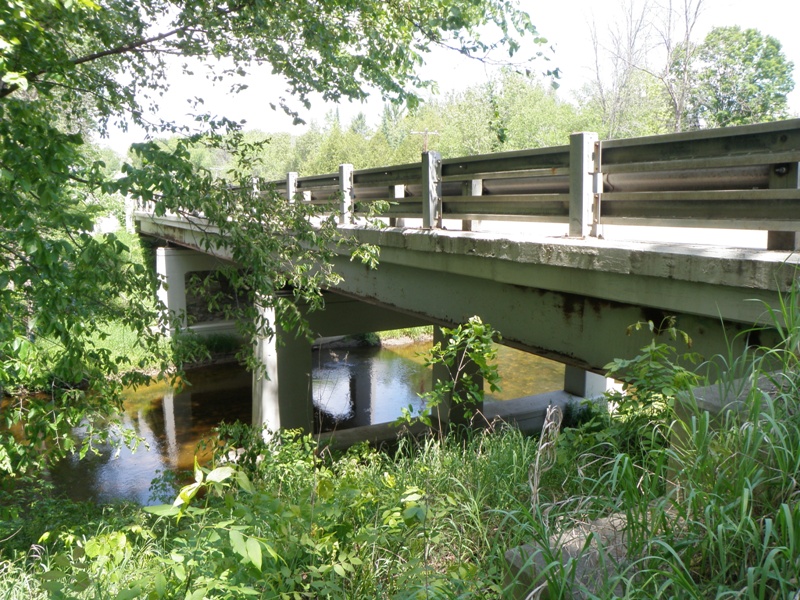
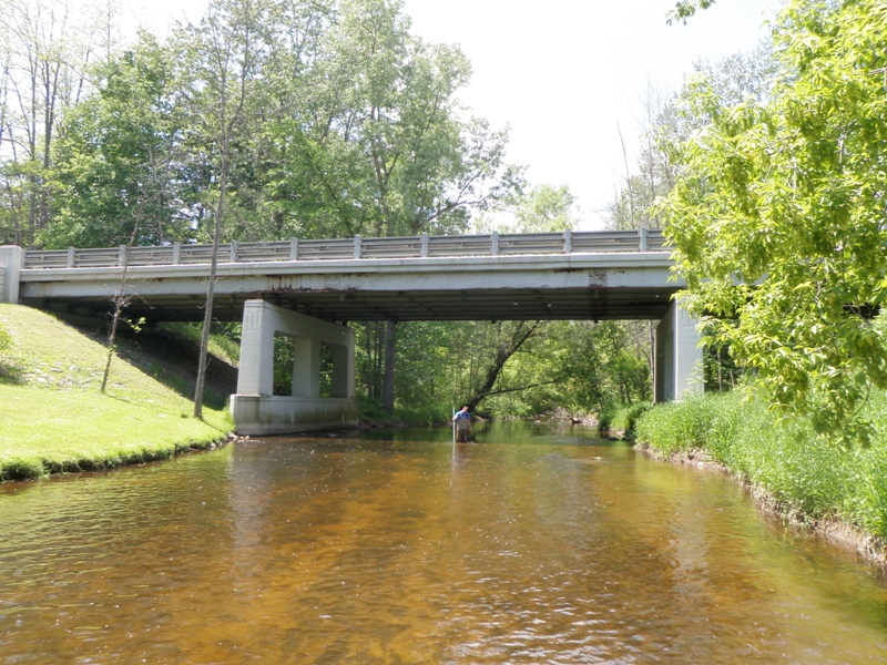
Crossing Information
Type of Crossing: Bridge
Structure Shape: Open Bottom Square/Rectangle
Inlet Type: Other
Outlet Type: At Stream Grade
Structure Material: Concrete
Structure Substrate: Mixture
General Conditions: Good
Structure Interior: smooth
Dimensions of Structure: Length 33 ft.
, Width 131 ft.
, Height 22 ft.
Structure is NOT Perched
Structure Inlet
Water Depth: 1.3 ft.
Embedded Depth of Structure: 0 ft.
Water Velocity*: 1.1 ft./sec.
Structure Outlet
Water Depth: 1.3 ft.
Embedded Depth of Structure: 0 ft.
Water Velocity*: 1.2 ft./sec.
*Water Velocities were measured 0.5 ft. below Surface
(with Meter)
Stream Information
Stream Flow: Less than Bankfull
Scour Pool: Length 0 ft.
, Width 0 ft.
, Depth 0 ft.
Upstream Pond: Length 0 ft.
, Width 0 ft.
, Depth 0 ft.
Riffle Information
Water Depth: 1 ft.
Bankfull Width: 59 ft.
Wetted Width: 36 ft.
Water Velocity: 1.1 ft./sec.
(Measured with Meter)
Dominant Substrate: Cobble
Road Information
Paved
State Road
Road Condition: Good
Road Width at Culvert: 27 ft.
Location of Low Point: Other
Runoff Path: Ditch
Fill Depth: 0 ft.
Slope: Vertical
Fill Depth: 0 ft.
Slope: Vertical
Approaches
Left Approach
Length: 0 ft.
Slope: Less Than 1%
Vegetation: Heavy
LS Factor: 0.05
Erosion: 0 tons/year
Right Approach
Length: 1000 ft.
Slope: 1% to 5%
Vegetation: Heavy
LS Factor: 0.57
Erosion: 0.5088 tons/year
Erosion Information
Total Erosion at Crossing: 0.5088 tons/year
Notes: None
Summary Information
Fish Passability 1
These non-native species were observerd at this site: Spotted Knapweed, Mullien, Autumn Olive
�