Road Stream Crossing Site AGIO034
Au Gres River Watershed, Elm Creek
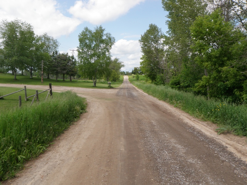
Kitchen Rd
Sherman Twp,
Iosco County
Information collected by:
Site Location
GPS Coordinates: 44.24218
, -83.75313
T21N
R6E
Sec 6
Owned by Private
Fish Passability 0
Perch Height: 1.4 ft.
Total Erosion: 5.3449 tons/year
Severity: Severe
Year Inventoried: 2014
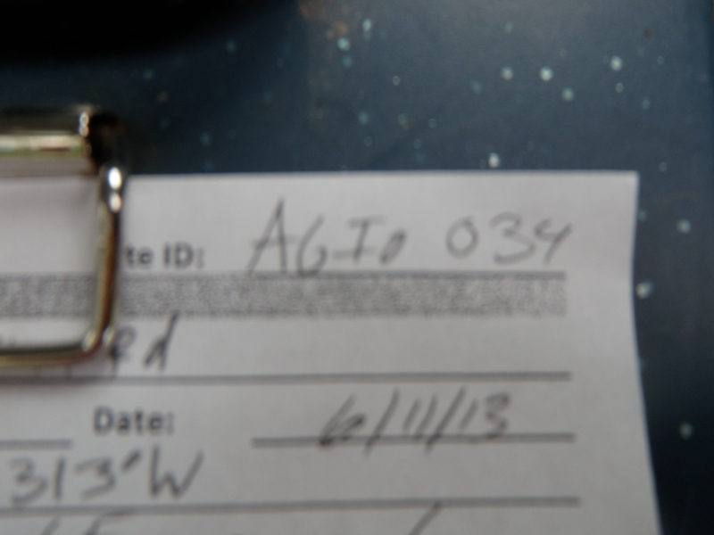
Site ID
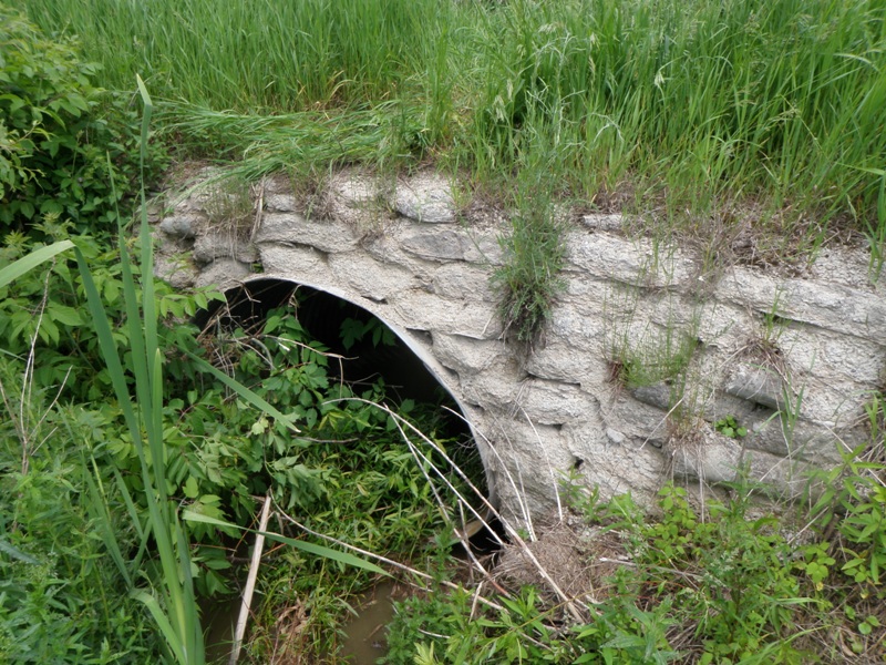
Inlet
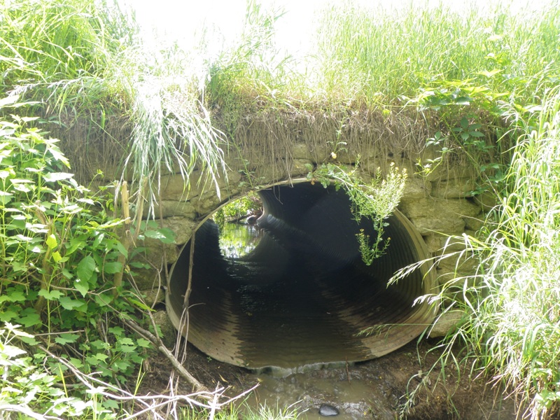
Outlet
Upstream Conditions
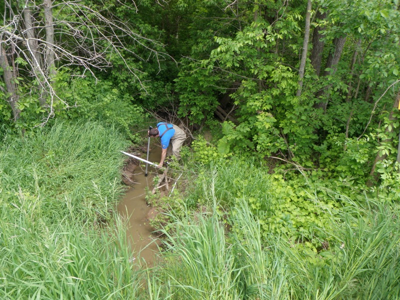
Downstream Conditions
Road Approach - Left
Road Approach - Right
Crossing Information
Type of Crossing: culvert(s)
Number of Structures: 1
Structure Shape: Ellipse
Inlet Type: Headwall
Outlet Type: Outlet Apron
Structure Material: Metal
Structure Substrate: None
General Conditions: Good
Structure Interior: corrugated
Dimensions of Structure: Length 29 ft.
, Width 5 ft.
, Height 3.6 ft.
Perch Height: 1.4 ft.
Structure Inlet
Water Depth: 0.3 ft.
Embedded Depth of Structure: 0 ft.
Water Velocity*: 0.2 ft./sec.
Structure Outlet
Water Depth: 0.1 ft.
Embedded Depth of Structure: 0 ft.
Water Velocity*: 0.7 ft./sec.
*Water Velocities were measured 0.2 ft. below Surface
(with Meter)
Stream Information
Stream Flow: Less than 1/2 Bankfull
Scour Pool: Length 0 ft.
, Width 0 ft.
, Depth 0 ft.
Upstream Pond: Length 0 ft.
, Width 0 ft.
, Depth 0 ft.
Riffle Information
Water Depth: 0.2 ft.
Bankfull Width: 8.6 ft.
Wetted Width: 2.2 ft.
Water Velocity: 0.7 ft./sec.
(Measured with Meter)
Dominant Substrate: Gravel
Road Information
Gravel
County Road
Road Condition: Good
Road Width at Culvert: 17 ft.
Location of Low Point: At Stream
Runoff Path: Ditch
Embankments
Upstream
Fill Depth: 1 ft.
Slope: More than 1:2
Downstream
Fill Depth: 0.7 ft.
Slope: More than 1:2
Approaches
Left Approach
Length: 1000 ft.
Slope: 1% to 5%
Vegetation: Heavy
LS Factor: 0.57
Erosion: 2.6694 tons/year
Right Approach
Length: 1000 ft.
Slope: 1% to 5%
Vegetation: Heavy
LS Factor: 0.57
Erosion: 2.6694 tons/year
Erosion Information
Total Erosion at Crossing: 5.3449 tons/year
Extent of Erosion: Minor
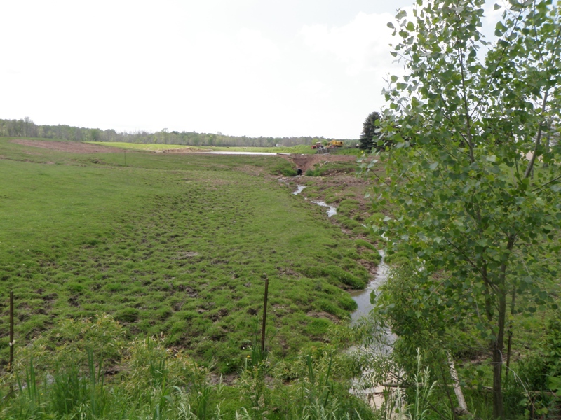
Notes: Minor erosion hole above upstream headwall. Also, significant erosion due to cattle accessing stream upstream of structure.
Location of Erosion | Erosion Dimensions | Eroded Material | Material Eroded | Total Erosion | ||
facing downstream | Length | Width | Depth | Reaching Stream? | (tons/year) | |
Right Upstream Embankment |
4 ft. |
2.7 ft. |
1.6 ft. |
yes |
Sandy Loam |
0.0061 |
Summary Information
Fish Passability 0
Erosion is an area of concern for this site.
Note: erosion primarily due to cattle accessing stream upstream from culvert, but it appears to be rather significant.
A future visit to this site is recommended. Not for RSX structure, but rather regarding adjacent agricultural practices.
�