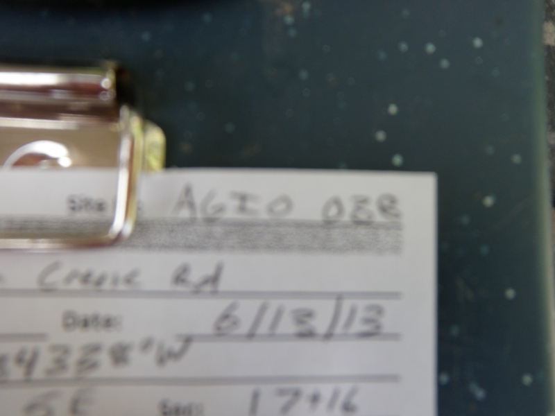
Road Stream Crossing Site AGIO038
Au Gres River Watershed, Tributary of Johnson Creek
Wilson Creek Rd
Burleigh Twp,
Iosco County
Information collected by:
Site Location
GPS Coordinates: 44.20541
, -83.84338
T21N
R5E
Sec 17 & 16
Owned by Private
Fish Passability 1
Structure is NOT Perched
Total Erosion: 0.3316 tons/year
Severity: Minor
Year Inventoried: 2014
Site ID
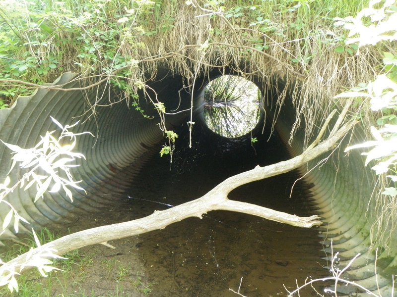
Inlet
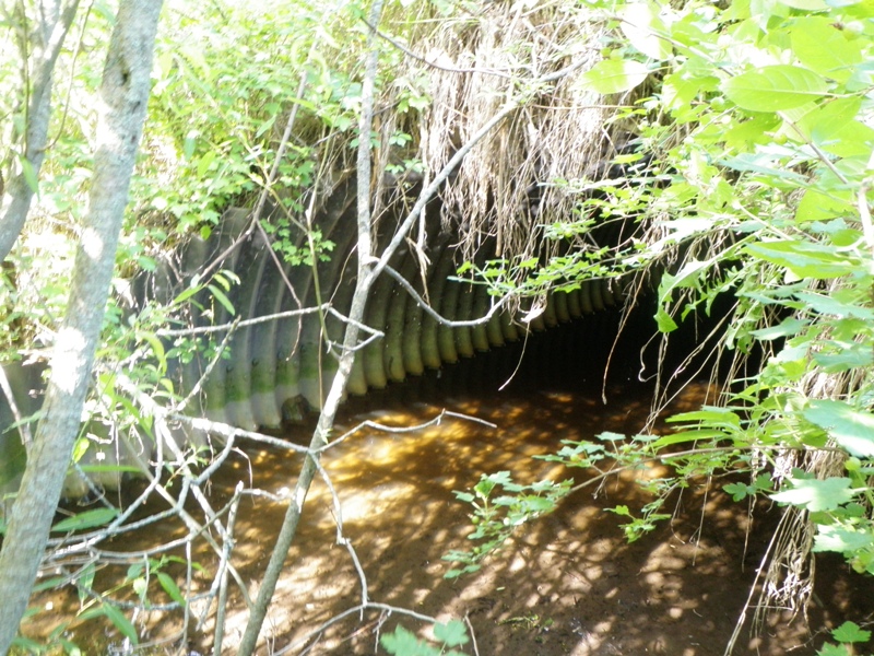
Outlet
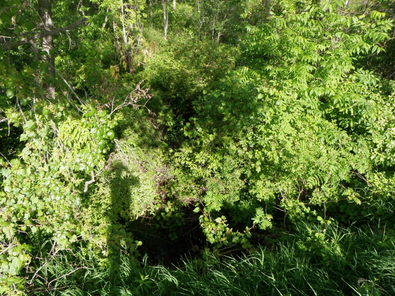
Upstream Conditions
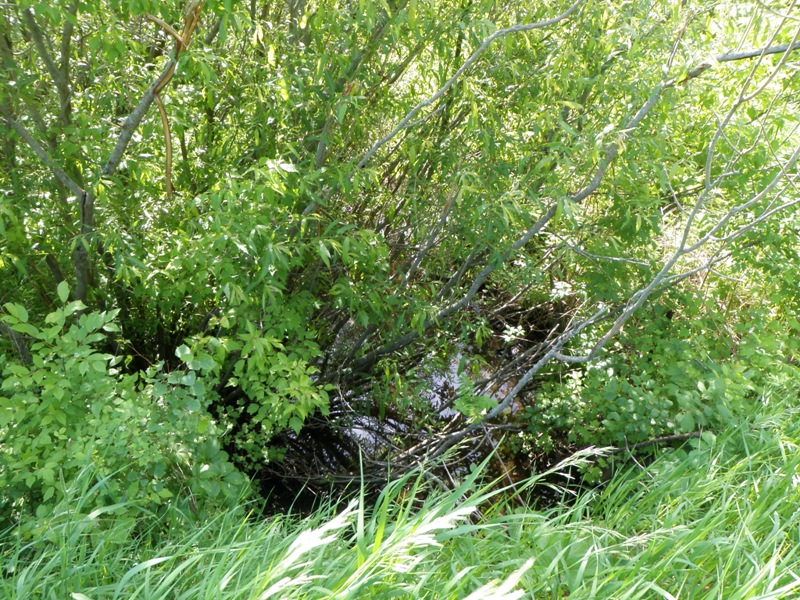
Downstream Conditions
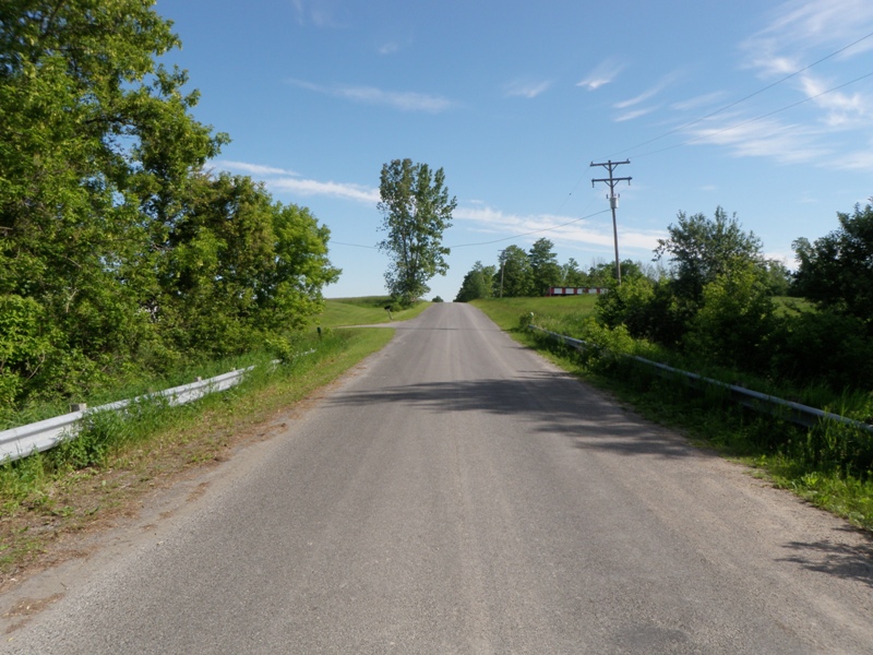
Road Approach - Left
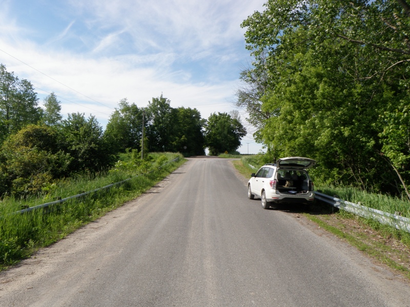
Road Approach - Right
Crossing Information
Type of Crossing: culvert(s)
Number of Structures: 1
Structure Shape: Pipe Arch
Inlet Type: Projecting
Outlet Type: At Stream Grade
Structure Material: Metal
Structure Substrate: Sand
General Conditions: Good
Structure Interior: corrugated
Dimensions of Structure: Length 62 ft.
, Width 12 ft.
, Height 6.9 ft.
Structure is NOT Perched
Structure Inlet
Water Depth: 0.2 ft.
Embedded Depth of Structure: 0.4 ft.
Water Velocity*: 0.3 ft./sec.
Structure Outlet
Water Depth: 0.3 ft.
Embedded Depth of Structure: 0.3 ft.
Water Velocity*: 0.1 ft./sec.
*Water Velocities were measured 0.1 ft. below Surface
(with Meter)
Stream Information
Stream Flow: Less than 1/2 Bankfull
Scour Pool: Length 0 ft.
, Width 0 ft.
, Depth 0 ft.
Upstream Pond: Length 0 ft.
, Width 0 ft.
, Depth 0 ft.
Riffle Information
Water Depth: 0.3 ft.
Bankfull Width: 11 ft.
Wetted Width: 2.6 ft.
Water Velocity: 0.3 ft./sec.
(Measured with Meter)
Dominant Substrate: Silt
Road Information
Paved
County Road
Road Condition: Good
Road Width at Culvert: 21 ft.
Location of Low Point: At Stream
Runoff Path: Ditch
Embankments
Upstream
Fill Depth: 4.6 ft.
Slope: 1:2
Downstream
Fill Depth: 5.7 ft.
Slope: 1:1.5
Approaches
Left Approach
Length: 527 ft.
Slope: 1% to 5%
Vegetation: Heavy
LS Factor: 0.505
Erosion: 0.1849 tons/year
Right Approach
Length: 434 ft.
Slope: 1% to 5%
Vegetation: Heavy
LS Factor: 0.487
Erosion: 0.1467 tons/year
Erosion Information
Total Erosion at Crossing: 0.3316 tons/year
Notes: None
Summary Information
Fish Passability 1
�