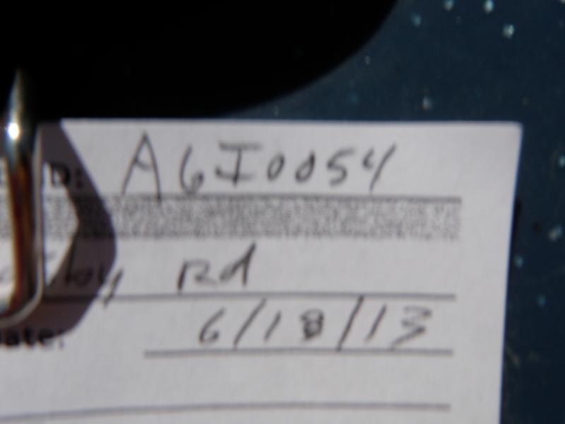
Road Stream Crossing Site AGIO054
Au Gres River Watershed, Elm Creek
Crosby Rd
Sherman Twp,
Iosco County
Information collected by:
Site Location
GPS Coordinates: 44.16556
, -83.71204
T21N
R6E
Sec 33
Owned by Private
Fish Passability 0
Perch Height: 2.3 ft.
Total Erosion: 0.154 tons/year
Severity: Severe
Year Inventoried: 2014
Site ID
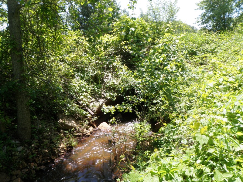
Inlet

Outlet
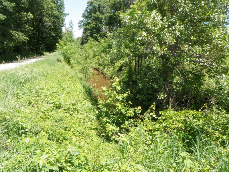
Upstream Conditions
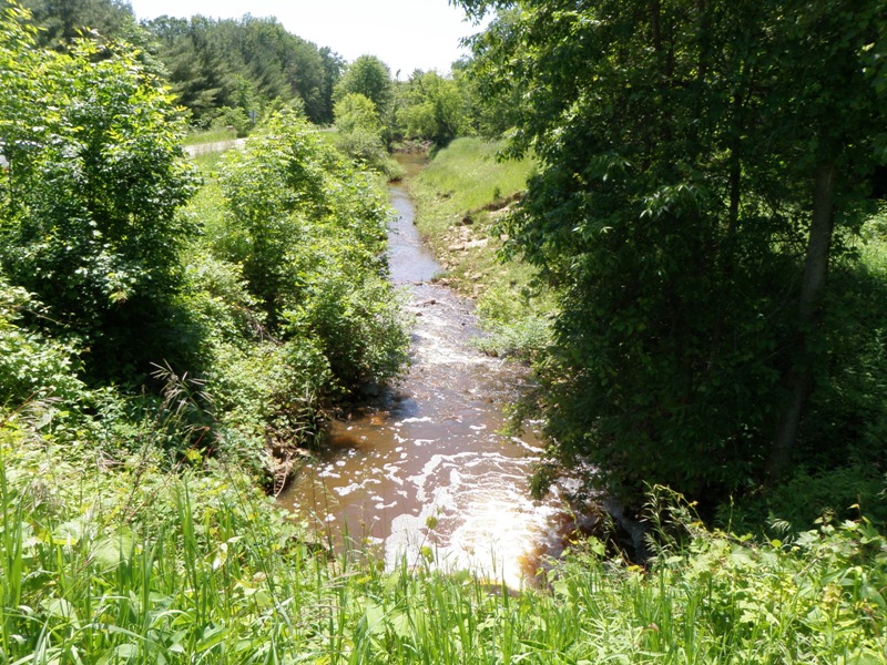
Downstream Conditions
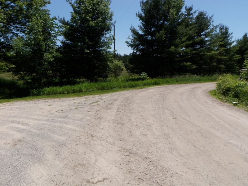
Road Approach - Left
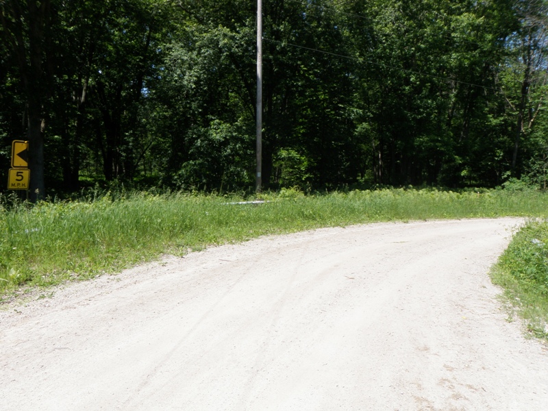
Road Approach - Right
Crossing Information
Type of Crossing: culvert(s)
Number of Structures: 1
Structure Shape: Pipe Arch
Inlet Type: Mitered
Outlet Type: Freefall into Pool
Structure Material: Metal
Structure Substrate: None
General Conditions: Good
Structure Interior: corrugated
Dimensions of Structure: Length 80 ft.
, Width 8.2 ft.
, Height 6 ft.
Perch Height: 2.3 ft.
Structure Inlet
Water Depth: 0.5 ft.
Embedded Depth of Structure: 0 ft.
Water Velocity*: 5 ft./sec.
Structure Outlet
Water Depth: 0.7 ft.
Embedded Depth of Structure: 0 ft.
Water Velocity*: 6.1 ft./sec.
*Water Velocities were measured at the Surface
(with Float Test)
Stream Information
Stream Flow: Less than 1/2 Bankfull
Scour Pool: Length 15.8 ft.
, Width 17.7 ft.
, Depth 2.5 ft.
Upstream Pond: Length 0 ft.
, Width 0 ft.
, Depth 0 ft.
Riffle Information
Water Depth: 15.8 ft.
Bankfull Width: 17.5 ft.
Wetted Width: 7.4 ft.
Water Velocity: 2.5 ft./sec.
(Measured with Float Test)
Dominant Substrate: Gravel
Road Information
Gravel
County Road
Road Condition: Fair
Road Width at Culvert: 24 ft.
Location of Low Point: Other
Runoff Path: Ditch
Embankments
Upstream
Fill Depth: 3.5 ft.
Slope: 1:2
Downstream
Fill Depth: 3.5 ft.
Slope: 1:2
Approaches
Left Approach
Length: 0 ft.
Slope: Less Than 1%
Vegetation: Heavy
LS Factor: 0.05
Erosion: 0 tons/year
Right Approach
Length: 0 ft.
Slope: Less Than 1%
Vegetation: Heavy
LS Factor: 0.05
Erosion: 0 tons/year
Erosion Information
Total Erosion at Crossing: 0.154 tons/year
Extent of Erosion: Moderate
Notes: Sandy bank eroding downstream - right bank.
Location of Erosion | Erosion Dimensions | Eroded Material | Material Eroded | Total Erosion | ||
facing downstream | Length | Width | Depth | Reaching Stream? | (tons/year) | |
Right Downstream Streambank |
20 ft. |
4 ft. |
1 ft. |
yes |
Sand |
0.154 |
Summary Information
Fish Passability 0
Fish Passage is an area of concern for this site.
Yes, highly perched culvert only a few hundred yards from confluence with mainstem Au Gres River. Reconnection would potentially provide access to several miles of upstream habitat.
A future visit to this site is recommended. Replace this site allow fish passage to upstream Elm Creek watershed.
�