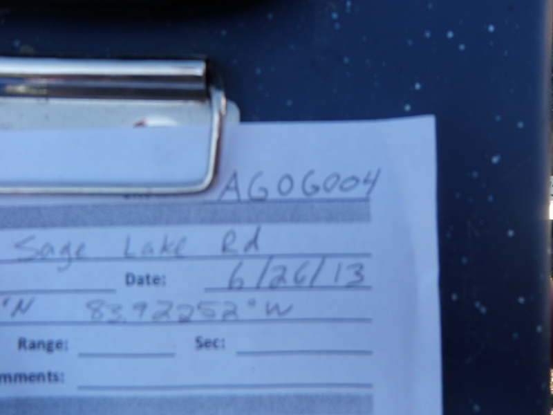
Road Stream Crossing Site AGOG004
Au Gres River Watershed, Au Gres River
Sage Lake Rd
Logan Twp,
Ogemaw County
Information collected by:
Site Location
GPS Coordinates: 44.30394
, -83.92252
T22N
R4E
Sec 14 & 15
Owned by Private
Fish Passability 0
Structure is NOT Perched
Total Erosion: 0.1011 tons/year
Severity: Severe
Year Inventoried: 2014
Site ID
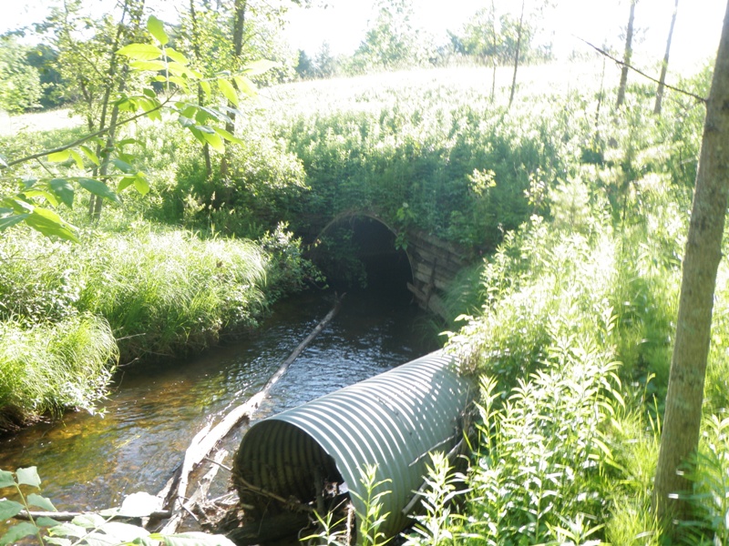
Inlet
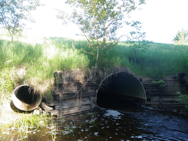
Outlet
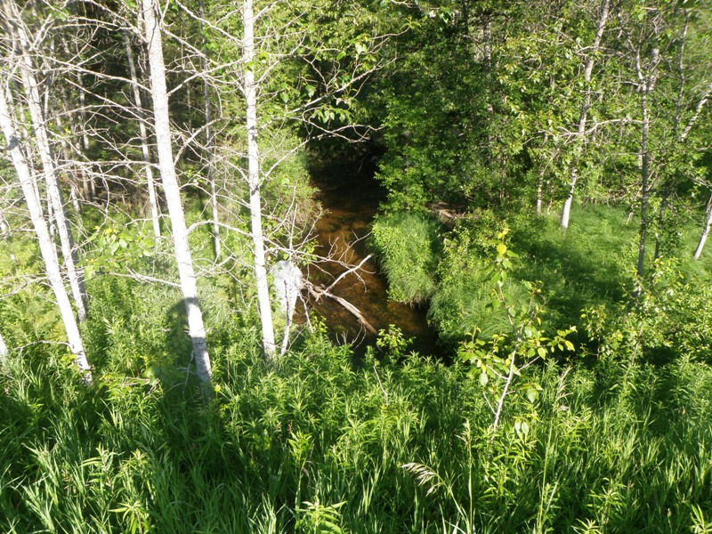
Upstream Conditions
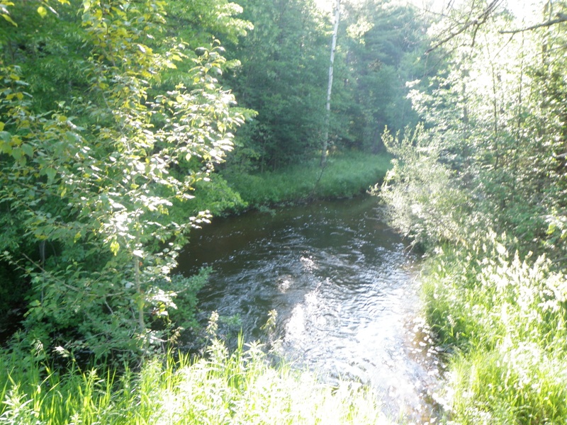
Downstream Conditions
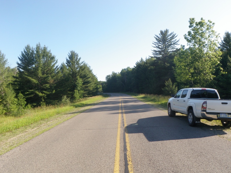
Road Approach - Left
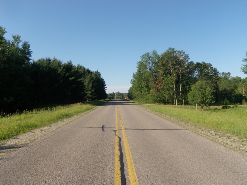
Road Approach - Right
Crossing Information
Type of Crossing: culvert(s)
Number of Structures: 2
Structure Shape: Pipe Arch
Inlet Type: Headwall
Outlet Type: Freefall into Pool
Structure Material: Metal
Structure Substrate: None
General Conditions: Good
Multiple Culverts/Spans | ||||
Culvert/Span | Width | Length | Height | Material |
1 |
9.2 ft. |
140 ft. |
6.7 ft. |
Metal |
2 |
3 ft. |
175 ft. |
3 ft. |
Metal |
Structure Interior: corrugated
Dimensions of Structure: Length 140 ft.
, Width 9.2 ft.
, Height 6.7 ft.
Structure is NOT Perched
Structure Inlet
Water Depth: 1.1 ft.
Embedded Depth of Structure: 0 ft.
Water Velocity*: 2.3 ft./sec.
Structure Outlet
Water Depth: 0.9 ft.
Embedded Depth of Structure: 0 ft.
Water Velocity*: 5.6 ft./sec.
*Water Velocities were measured 0.5 ft. below Surface
(with Meter)
Stream Information
Stream Flow: Less than Bankfull
Scour Pool: Length 60 ft.
, Width 33 ft.
, Depth 5.5 ft.
Upstream Pond: Length 0 ft.
, Width 0 ft.
, Depth 0 ft.
Riffle Information
Water Depth: 0.3 ft.
Bankfull Width: 27 ft.
Wetted Width: 25 ft.
Water Velocity: 1.5 ft./sec.
(Measured with Meter)
Dominant Substrate: Gravel
Road Information
Paved
County Road
Road Condition: Good
Road Width at Culvert: 30 ft.
Location of Low Point: At Stream
Runoff Path: Ditch
Embankments
Upstream
Fill Depth: 16.5 ft.
Slope: More than 1:2
Downstream
Fill Depth: 12.5 ft.
Slope: More than 1:2
Approaches
Left Approach
Length: 1000 ft.
Slope: Less Than 1%
Vegetation: Heavy
LS Factor: 0.05
Erosion: 0.0496 tons/year
Right Approach
Length: 1000 ft.
Slope: Less Than 1%
Vegetation: Heavy
LS Factor: 0.05
Erosion: 0.0496 tons/year
Erosion Information
Total Erosion at Crossing: 0.1011 tons/year
Extent of Erosion: Minor
Notes: Erosion along downstream headwall, left side.
Location of Erosion | Erosion Dimensions | Eroded Material | Material Eroded | Total Erosion | ||
facing downstream | Length | Width | Depth | Reaching Stream? | (tons/year) | |
Left Downstream Embankment |
4 ft. |
4 ft. |
0.5 ft. |
yes |
Sandy Loam |
0.0019 |
Summary Information
Fish Passability 0
Fish Passage is an area of concern for this site.
Yes, this is a fish passage barrier on the mainstem Au Gres River.
A future visit to this site is recommended. Replace/reset culvert to allow fish passage.
�