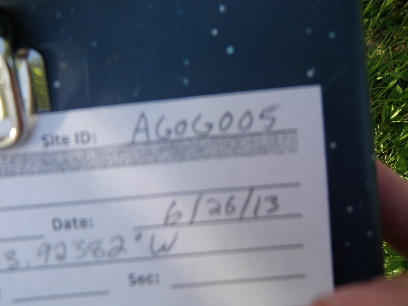
Road Stream Crossing Site AGOG005
Au Gres River Watershed, Au Gres River
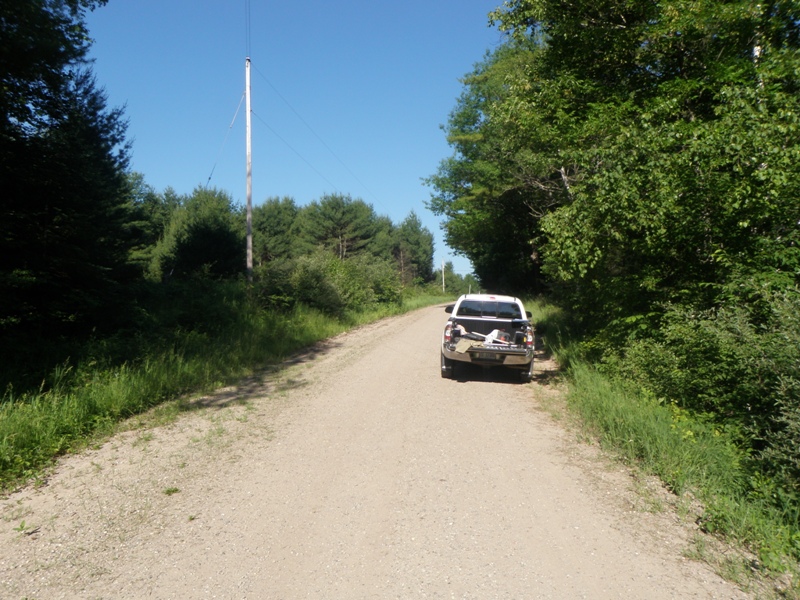
Stahlbush Rd
Logan Twp,
Ogemaw County
Information collected by:
Site Location
GPS Coordinates: 44.30571
, -83.92382
T22N
R4E
Sec 10 & 15
Owned by Private
Fish Passability 0
Structure is NOT Perched
Total Erosion: 3.4146 tons/year
Severity: Severe
Year Inventoried: 2014
Site ID
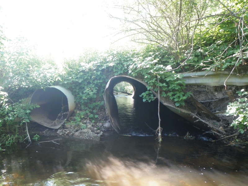
Inlet
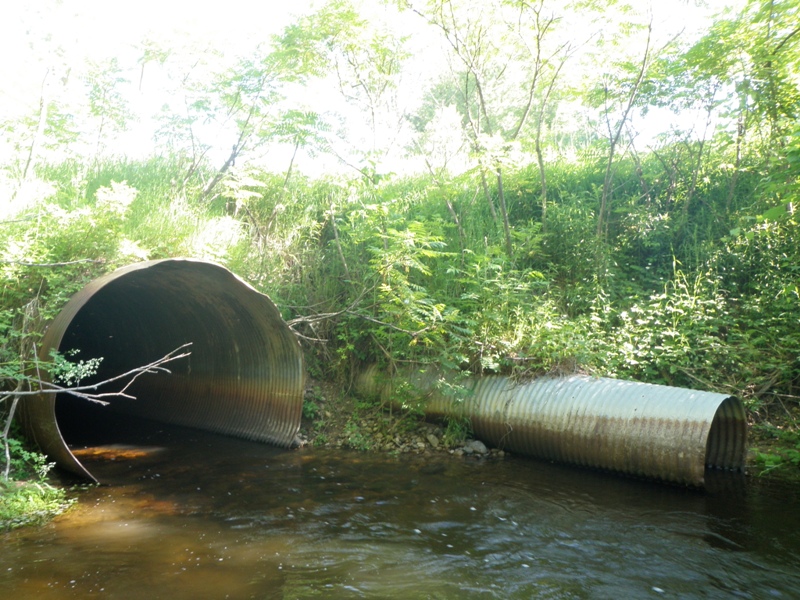
Outlet
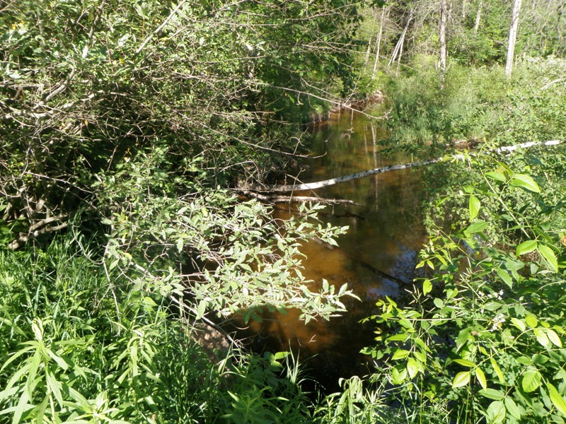
Upstream Conditions
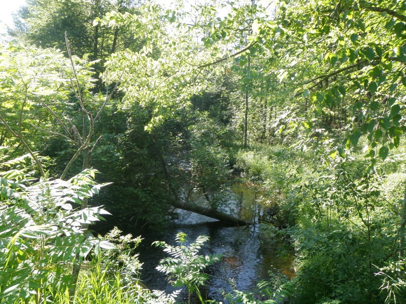
Downstream Conditions
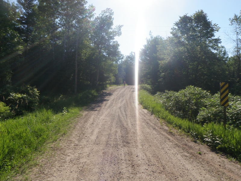
Road Approach - Left
Road Approach - Right
Crossing Information
Type of Crossing: culvert(s)
Number of Structures: 2
Structure Shape: Pipe Arch
Inlet Type: Projecting
Outlet Type: At Stream Grade
Structure Material: Metal
Structure Substrate: Rock
General Conditions: Poor
Multiple Culverts/Spans | ||||
Culvert/Span | Width | Length | Height | Material |
1 |
3 ft. |
80 ft. |
3 ft. |
Metal |
2 |
8.3 ft. |
65 ft. |
7.3 ft. |
Metal |
Structure Interior: corrugated
Dimensions of Structure: Length 65 ft.
, Width 8.3 ft.
, Height 7.3 ft.
Percentage Plugged:
Inlet: 1% to 25%
Outlet: 0%
In Pipe: 0%
Percentage Crushed:
Inlet: 26% to 50%
Outlet: 0%
In Pipe: 0%
Structure is NOT Perched
Structure Inlet
Water Depth: 1.4 ft.
Embedded Depth of Structure: 0 ft.
Water Velocity*: 4 ft./sec.
Structure Outlet
Water Depth: 1.2 ft.
Embedded Depth of Structure: 0.2 ft.
Water Velocity*: 2.8 ft./sec.
*Water Velocities were measured 0.5 ft. below Surface
(with Meter)
Stream Information
Stream Flow: Less than 1/2 Bankfull
Scour Pool: Length 35 ft.
, Width 25 ft.
, Depth 4.2 ft.
Upstream Pond: Length 0 ft.
, Width 0 ft.
, Depth 0 ft.
Riffle Information
Water Depth: 1.1 ft.
Bankfull Width: 34 ft.
Wetted Width: 25 ft.
Water Velocity: 0.8 ft./sec.
(Measured with Meter)
Dominant Substrate: Gravel
Road Information
Gravel
County Road
Road Condition: Fair
Road Width at Culvert: 17 ft.
Location of Low Point: At Stream
Runoff Path: Ditch
Embankments
Upstream
Fill Depth: 6 ft.
Slope: 1:2
Downstream
Fill Depth: 3.6 ft.
Slope: More than 1:2
Approaches
Left Approach
Length: 340 ft.
Slope: 1% to 5%
Vegetation: Heavy
LS Factor: 0.468
Erosion: 0.7452 tons/year
Right Approach
Length: 1000 ft.
Slope: 1% to 5%
Vegetation: Heavy
LS Factor: 0.57
Erosion: 2.6694 tons/year
Erosion Information
Total Erosion at Crossing: 3.4146 tons/year
Notes: None.
Summary Information
Fish Passability 0
Fish Passage is an area of concern for this site.
Culvert is severely crushed, yet this probably does not presently affect the functionality of the culvert. However it is likely a velocity barrier under certain flows and for certain species.
A future visit to this site is recommended. Replace crushed culvert if possible, otherwise monitor for plugging and/or further crushing of this culvert.
These non-native species were observerd at this site: Autumn Olive, Spotted Knapweed
�