Road Stream Crossing Site LTB-024
Little Traverse Bay Watershed, Tributary of Five Mile Creek
Lower Shore Dr
West Traverse Twp,
Emmet County
Information collected by:
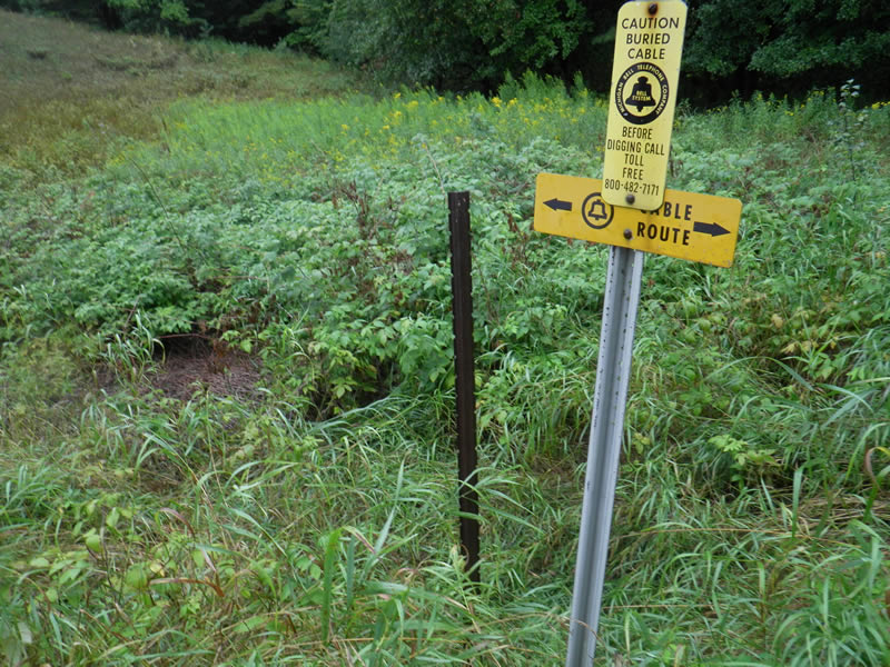
Site Location
GPS Coordinates: 45.47301704
, -85.07398164
Fish Passability 0.5
Structure is NOT Perched
Total Erosion: 0.405 tons/year
Severity: Moderate
Year Inventoried: 2014
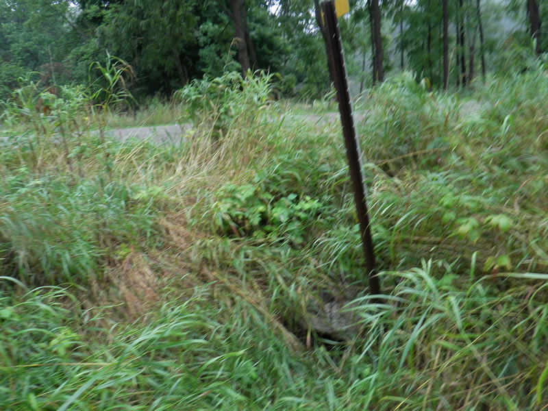
Inlet
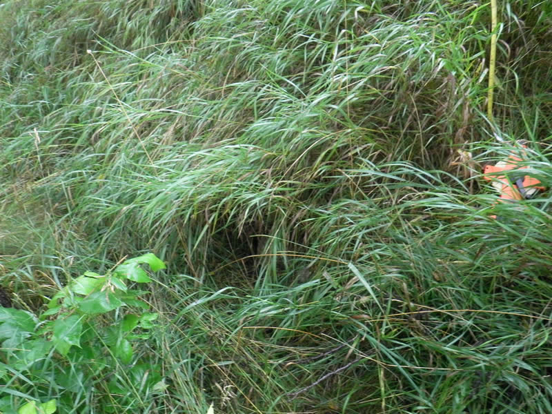
Outlet
Upstream Conditions
Downstream Conditions
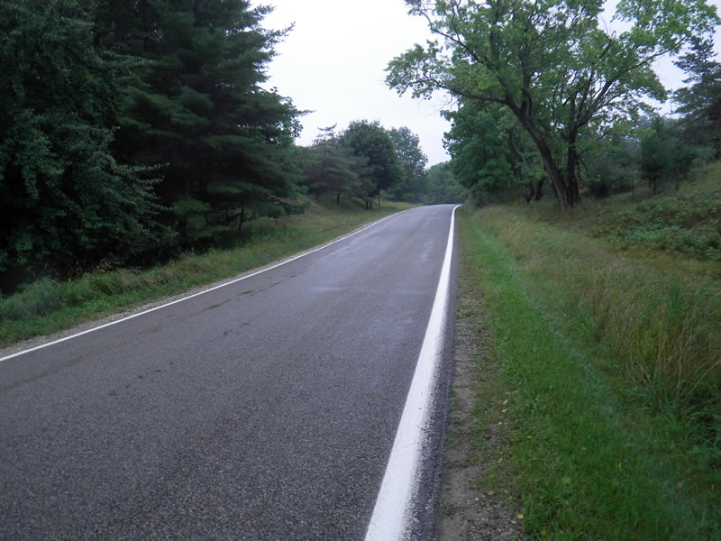
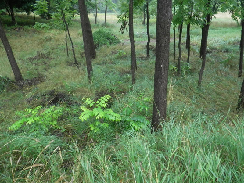
Road Approach - Left
Crossing Information
Type of Crossing: culvert(s)
Number of Structures: 1
Structure Shape: Round
Inlet Type: Projecting
Outlet Type: At Stream Grade
Structure Material: Metal
Structure Substrate: Sand
General Conditions: Poor
Structure Interior: corrugated
Dimensions of Structure: Length 47 ft.
, Width 1.5 ft.
, Height 0.33 ft.
Percentage Plugged:
Inlet: 76% to 100%
Outlet: 0%
In Pipe: 0%
Structure is NOT Perched
Water Depth: 0 ft.
Embedded Depth of Structure: 1 ft.
Water Velocity*: 0 ft./sec.
Water Depth: 0 ft.
Embedded Depth of Structure: 1 ft.
Water Velocity*: 0 ft./sec.
*Water Velocities were measured at the Surface
(with Meter)
Additional Comments
Old site ID: FM-4.
Stream Information
Stream Flow: None
Riffle Information
Water Depth: 0 ft.
Dominant Substrate: Sand
Road Information
Paved
State Road
Road Condition: Good
Road Width at Culvert: 25 ft.
Location of Low Point: At Stream
Runoff Path: Roadway
Embankments
Upstream
Fill Depth: 3 ft.
Slope: 1:1
Downstream
Fill Depth: 4 ft.
Slope: 1:1
Approaches
Left Approach
Length: 800 ft.
Slope: 1% to 5%
Vegetation: Heavy
LS Factor: 0.55
Erosion: 0.3636 tons/year
Right Approach
Length: 1000 ft.
Slope: Less Than 1%
Vegetation: Heavy
LS Factor: 0.05
Erosion: 0.0413 tons/year
Erosion Information
Total Erosion at Crossing: 0.405 tons/year
Summary Information
Fish Passability 0.5
A future visit to this site is recommended. No water or evidence of flow. Likely plugged.
�