Road Stream Crossing Site LTB-025
Little Traverse Bay Watershed, Five Mile Creek
M-119
West Traverse Twp,
Emmet County
Information collected by:
Site Location
GPS Coordinates: 45.47176695
, -85.06519427
Fish Passability 0.9
Total Erosion: 1.322 tons/year
Severity: Moderate
Year Inventoried: 2014
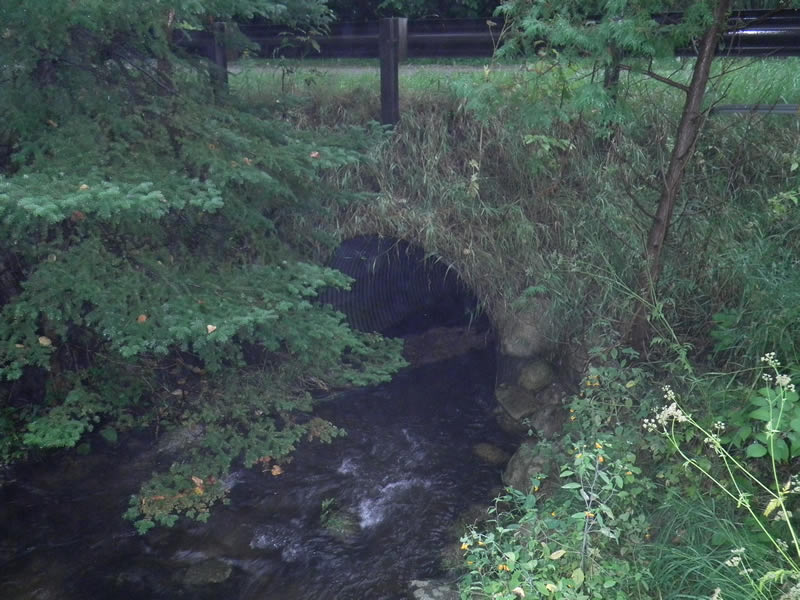
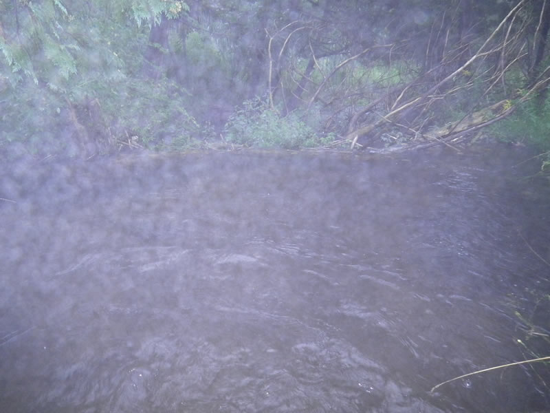
Inlet
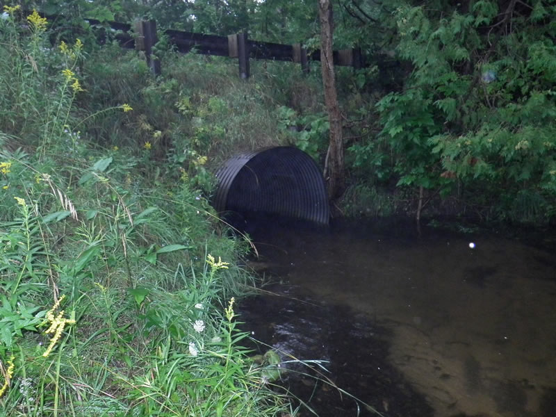
Outlet
Upstream Conditions
Downstream Conditions
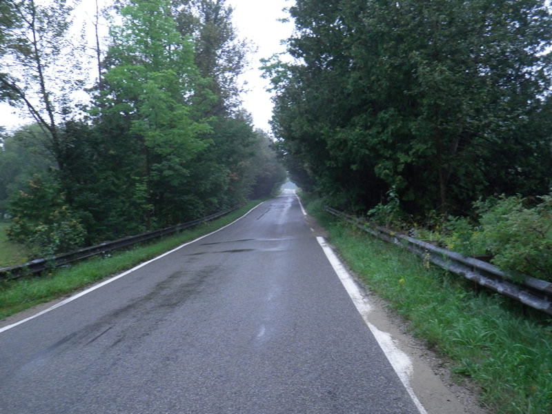
Road Approach - Left
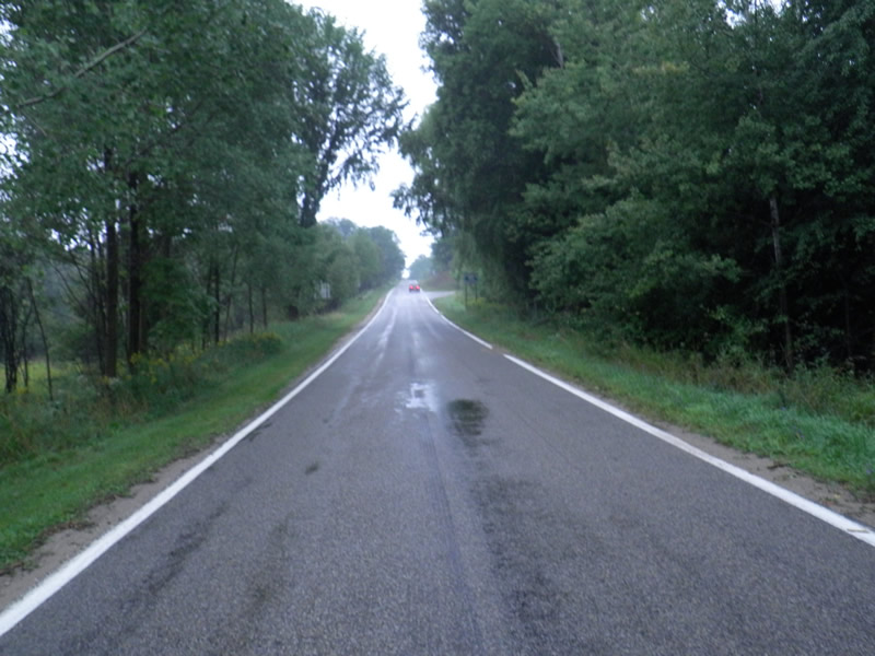
Road Approach - Right
Crossing Information
Type of Crossing: culvert(s)
Number of Structures: 1
Structure Shape: Round
Inlet Type: Projecting
Outlet Type: At Stream Grade
Structure Material: Metal
Structure Substrate: Gravel
General Conditions: Good
Dimensions of Structure: Length 38.5 ft.
, Width 6.25 ft.
, Height 5.83 ft.
Percentage Plugged:
Inlet: 1% to 25%
Outlet: 0%
In Pipe: 0%
Structure Inlet
Water Depth: 1.58 ft.
Embedded Depth of Structure: 4.42 ft.
Water Velocity*: 1.9 ft./sec.
Structure Outlet
Water Depth: 1.5 ft.
Embedded Depth of Structure: 0.083 ft.
Water Velocity*: 1.7 ft./sec.
(with Meter)
Additional Comments
Old site ID: FM-2.
Stream Information
Stream Flow: Less than Bankfull
Riffle Information
Water Depth: 0.83 ft.
Bankfull Width: 13.17 ft.
Wetted Width: 10.16 ft.
Water Velocity: 3.3 ft./sec.
(Measured with Meter)
Dominant Substrate: Gravel
Road Information
Paved
State Road
Road Condition: Good
Road Width at Culvert: 31 ft.
Location of Low Point: At Stream
Runoff Path: Roadway
Embankments
Upstream
Fill Depth: 3 ft.
Slope: 1:1
Downstream
Fill Depth: 3 ft.
Slope: Vertical
Approaches
Left Approach
Length: 1000 ft.
Slope: Less Than 1%
Vegetation: None
LS Factor: 0.06
Erosion: 0.0615 tons/year
Right Approach
Length: 1000 ft.
Slope: 1% to 5%
Vegetation: None
LS Factor: 1.23
Erosion: 1.2605 tons/year
Erosion Information
Total Erosion at Crossing: 1.322 tons/year
Summary Information
Fish Passability 0.9
Fish Passage is an area of concern for this site.
No
�