Road Stream Crossing Site LTB-032
Little Traverse Bay Watershed, Culvert Between Two Ponds
Birchwood Drive
West Traverse Twp,
Emmet County
Information collected by:
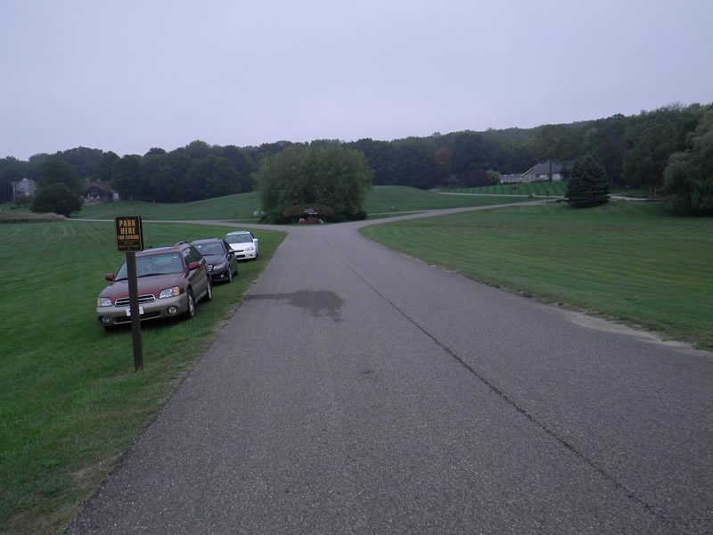
Site Location
GPS Coordinates: 45.45308185
, -85.05280863
Fish Passability 0.9
Total Erosion: 0.8145 tons/year
Severity: Moderate
Year Inventoried: 2014
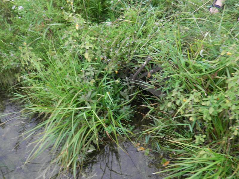
Inlet
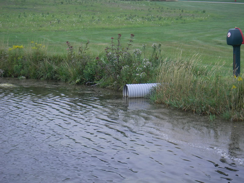
Outlet
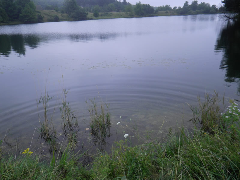
Upstream Conditions
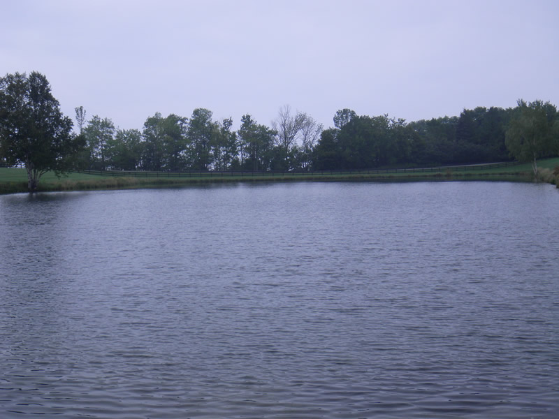
Downstream Conditions
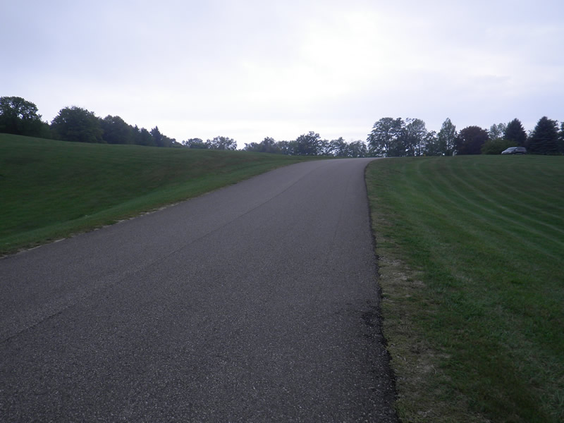
Road Approach - Left
Road Approach - Right
Crossing Information
Type of Crossing: culvert(s)
Number of Structures: 1
Structure Shape: Round
Inlet Type: Projecting
Outlet Type: At Stream Grade
Structure Material: Metal
Structure Substrate: Sand
General Conditions: Fair
Structure Interior: corrugated
Dimensions of Structure: Length 200 ft.
, Width 1.66 ft.
, Height 1.58 ft.
Percentage Plugged:
Inlet: 1% to 25%
Outlet: 0%
In Pipe: 0%
Structure Inlet
Water Depth: 3.5 ft.
Embedded Depth of Structure: 0.04 ft.
Water Velocity*: 0.9 ft./sec.
Structure Outlet
Water Depth: 0.25 ft.
Embedded Depth of Structure: 0 ft.
Water Velocity*: 0.9 ft./sec.
*Water Velocities were measured at the Surface
(with Meter)
Additional Comments
Old site ID: UT-27.
Stream Information
Stream Flow: Less than 1/2 Bankfull
Scour Pool: Length 600 ft.
, Width 200 ft.
, Depth 10 ft.
Upstream Pond: Length 800 ft.
, Width 300 ft.
Riffle Information
Water Depth: 0.28 ft.
Bankfull Width: 2 ft.
Wetted Width: 1.25 ft.
Water Velocity: 0.7 ft./sec.
(Measured with Meter)
Dominant Substrate: Sand
Road Information
Paved
Private Road
Road Condition: Good
Road Width at Culvert: 22 ft.
Embankments
Upstream
Fill Depth: 1 ft.
Slope: 1:1
Downstream
Fill Depth: 0.5 ft.
Slope: Vertical
Approaches
Left Approach
Length: 500 ft.
Slope: 1% to 5%
Vegetation: Partial
LS Factor: 0.64
Erosion: 0.2327 tons/year
Right Approach
Length: 1000 ft.
Slope: 1% to 5%
Vegetation: Partial
LS Factor: 0.8
Erosion: 0.5818 tons/year
Erosion Information
Total Erosion at Crossing: 0.8145 tons/year
Summary Information
Fish Passability 0.9
�