Road Stream Crossing Site LTB-062
Little Traverse Bay Watershed, Unknown tributary
Pennsylvania
Harbor Springs,
Emmet County
Information collected by:
Site Location
GPS Coordinates: 45.42771217
, -84.95082868
Owned by Private
Fish Passability 0.5
Total Erosion: 0 tons/year
Severity: Moderate
Year Inventoried: 2014
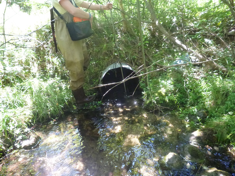
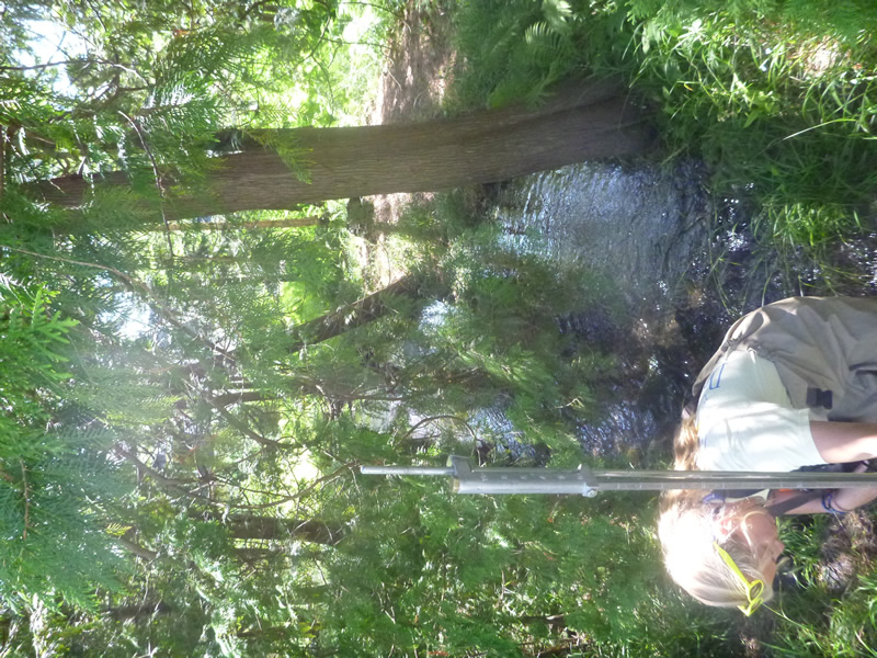
Inlet
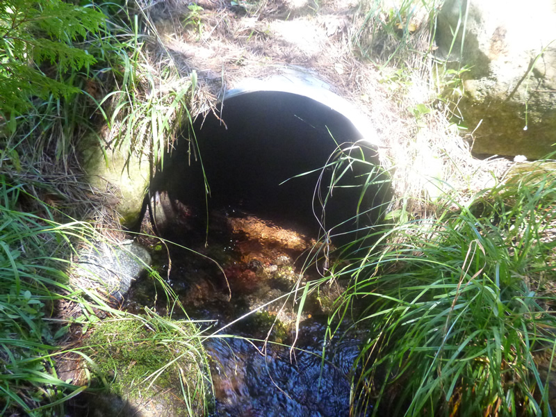
Outlet
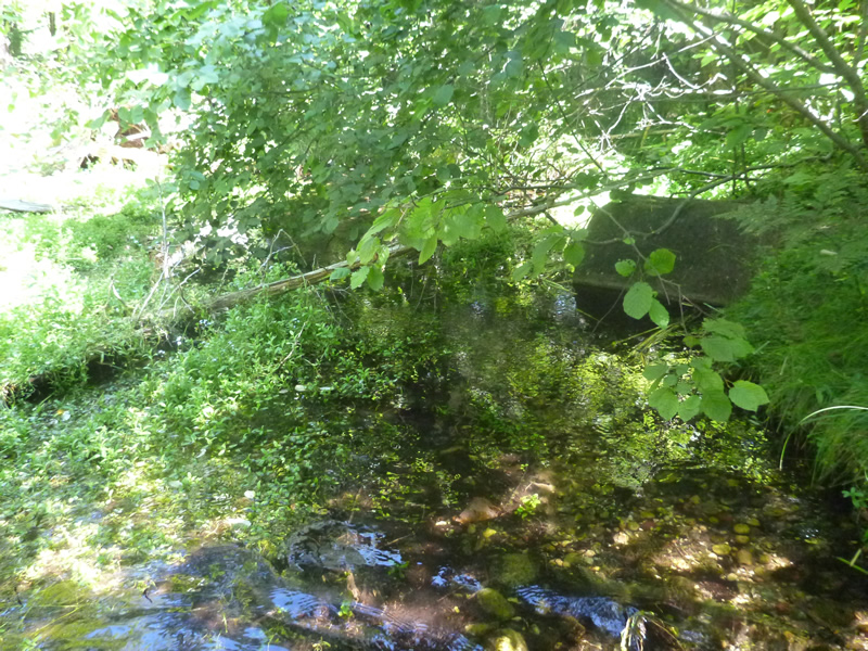
Upstream Conditions
Downstream Conditions
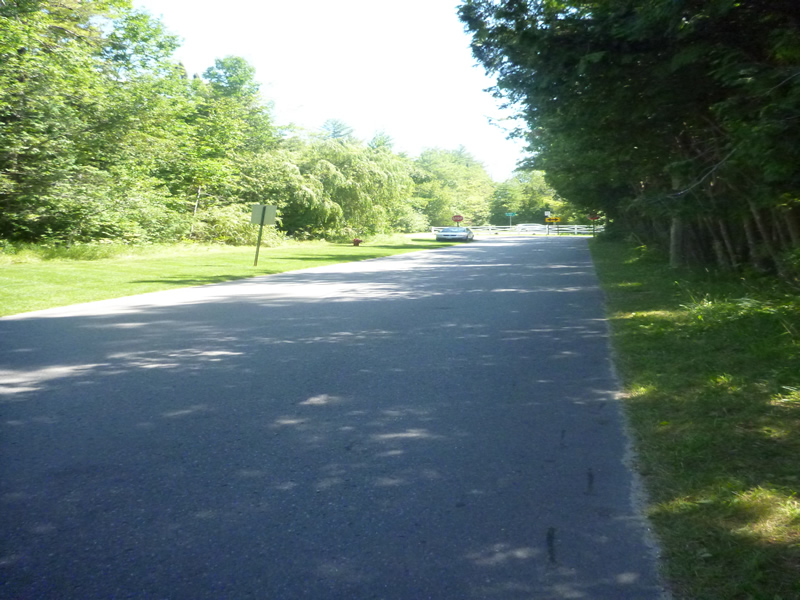
Road Approach - Left
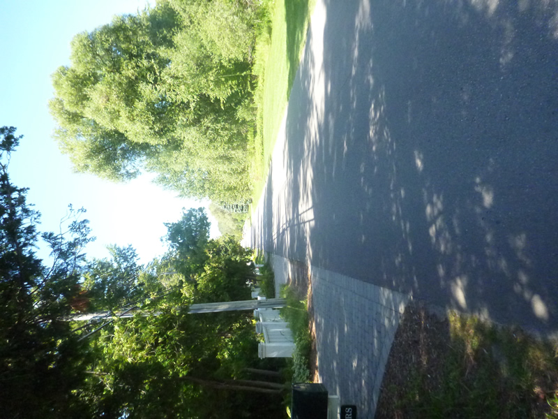
Road Approach - Right
Crossing Information
Type of Crossing: culvert(s)
Number of Structures: 1
Structure Shape: Round
Inlet Type: Projecting
Outlet Type: At Stream Grade
Structure Material: Metal
Structure Substrate: Gravel
General Conditions: Good
Structure Interior: corrugated
Structure is Rusted through
Dimensions of Structure: Length 74 ft.
, Width 2 ft.
, Height 2 ft.
Percentage Crushed:
In Pipe: 1% to 25%
Structure Inlet
Water Depth: 0.6 ft.
Embedded Depth of Structure: 0.167 ft.
Water Velocity*: 2 ft./sec.
Structure Outlet
Water Depth: 0.4 ft.
Embedded Depth of Structure: 0.083 ft.
Water Velocity*: 1.37 ft./sec.
*Water Velocities were measured 0.36 ft. below Surface
(with Meter)
Additional Comments
1805 Pennsylvania. Old site ID: UT-3.
Stream Information
Stream Flow: Less than Bankfull
Riffle Information
Water Depth: 0.3 ft.
Bankfull Width: 6.83 ft.
Wetted Width: 6.92 ft.
Water Velocity: 0.45 ft./sec.
(Measured with Meter)
Dominant Substrate: Cobble
Road Information
Paved
County Road
Road Condition: Good
Road Width at Culvert: 22 ft.
Location of Low Point: Other
Runoff Path: Roadway
Embankments
Upstream
Fill Depth: 5 ft.
Slope: More than 1:2
Downstream
Fill Depth: 2 ft.
Slope: More than 1:2
Approaches
Left Approach
Length: 0 ft.
Slope: Less Than 1%
Vegetation: Partial
LS Factor: 0.05
Erosion: 0 tons/year
Right Approach
Length: 0 ft.
Slope: Less Than 1%
Vegetation: Partial
LS Factor: 0.05
Erosion: 0 tons/year
Erosion Information
Total Erosion at Crossing: 0 tons/year
Extent of Erosion: Stabilized
Summary Information
Fish Passability 0.5
�