Road Stream Crossing Site LTB-066
Little Traverse Bay Watershed, Unknown tributary
Beach Dr and Forest
Harbor Springs,
Emmet County
Information collected by:
Site Location
GPS Coordinates: 45.41884221
, -84.91562306
Owned by Private
Fish Passability 0.5
Total Erosion: 0.0064 tons/year
Severity: Moderate
Year Inventoried: 2014
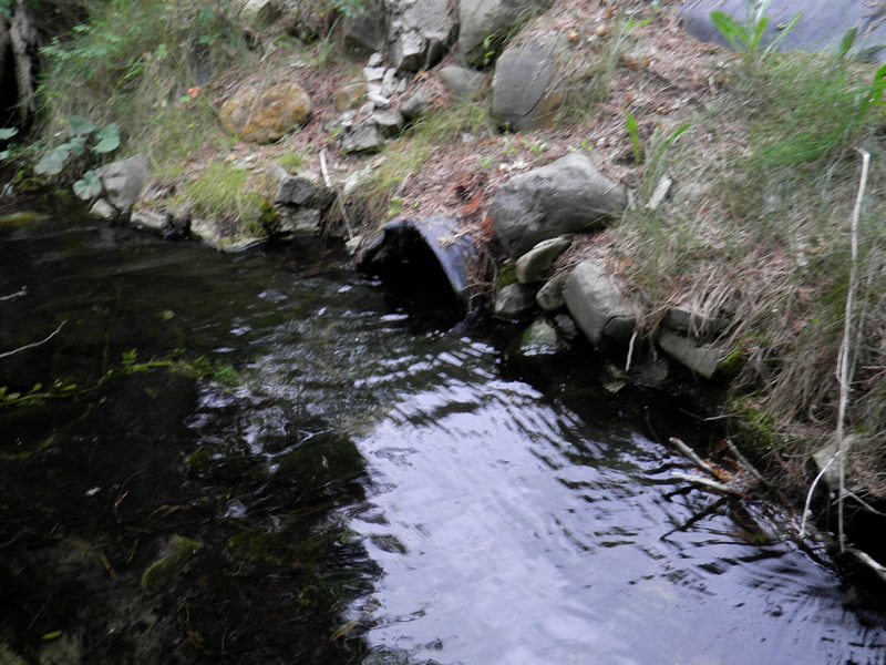
Inlet
Inlet
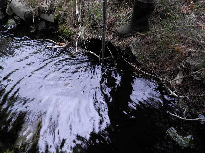
Outlet
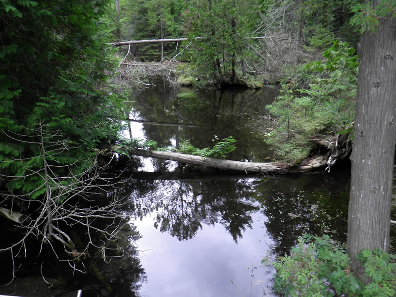
Upstream Conditions
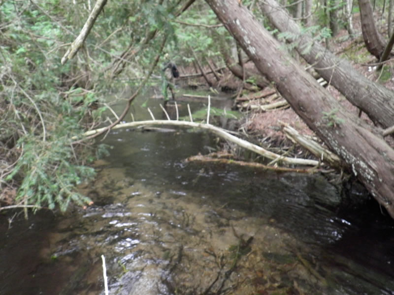
Downstream Conditions
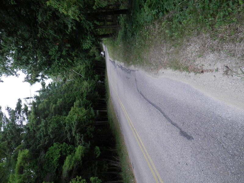
Road Approach - Left
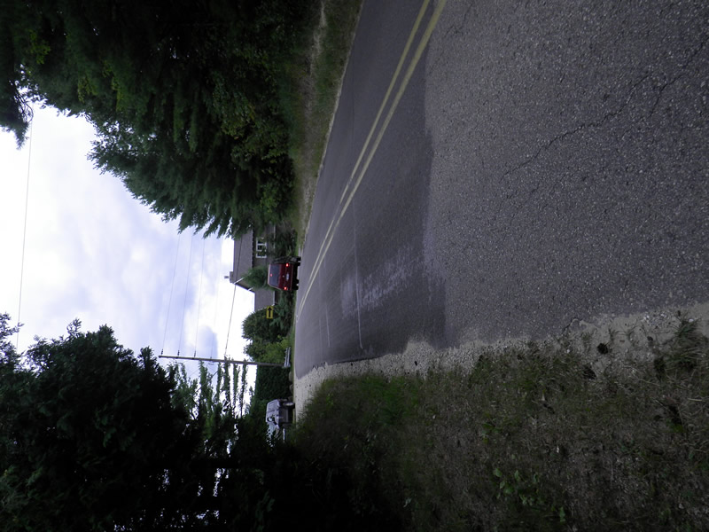
Road Approach - Right
Crossing Information
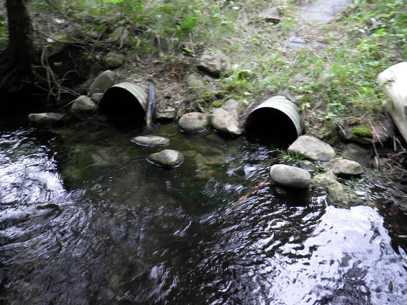
Type of Crossing: culvert(s)
Number of Structures: 2
Structure Shape: Round
Inlet Type: Projecting
Outlet Type: At Stream Grade
Structure Material: Metal
Structure Substrate: Mixture
General Conditions: Poor
Multiple Culverts/Spans | ||||
Culvert/Span | Width | Length | Height | Material |
1 |
2 ft. |
3.25 ft. |
2 ft. |
Metal |
2 |
1.5 ft. |
3.25 ft. |
1.5 ft. |
Metal |
Structure Interior: corrugated
Structure is Rusted through
Dimensions of Structure: Length 3.25 ft.
, Width 1.5 ft.
, Height 2 ft.
Percentage Plugged:
Inlet: 1% to 25%
Structure Inlet
Water Depth: 0.9 ft.
Embedded Depth of Structure: 0 ft.
Water Velocity*: 1.18 ft./sec.
Structure Outlet
Water Depth: 0.7 ft.
Embedded Depth of Structure: 0 ft.
Water Velocity*: 2 ft./sec.
*Water Velocities were measured 0.54 ft. below Surface
(with Meter)
Additional Comments
2650 Beach Rd. Old site ID: LTB-9
Stream Information
Stream Flow: Bankfull
Upstream Pond: Length 100 ft.
, Width 80 ft.
, Depth 1.7 ft.
Riffle Information
Water Depth: 0.8 ft.
Bankfull Width: 27.5 ft.
Wetted Width: 27 ft.
Water Velocity: 0.97 ft./sec.
(Measured with Meter)
Dominant Substrate: Sand
Road Information
Paved
County Road
Road Condition: Fair
Road Width at Culvert: 21 ft.
Location of Low Point: At Stream
Runoff Path: Ditch
Embankments
Upstream
Fill Depth: 5 ft.
Slope: 1:2
Downstream
Fill Depth: 5 ft.
Slope: 1:2
Approaches
Left Approach
Length: 0 ft.
Slope: Less Than 1%
Vegetation: Heavy
LS Factor: 0.05
Erosion: 0 tons/year
Right Approach
Length: 0 ft.
Slope: Less Than 1%
Vegetation: Heavy
LS Factor: 0.05
Erosion: 0 tons/year
Erosion Information
Total Erosion at Crossing: 0.0064 tons/year
Extent of Erosion: Moderate
Notes: control in place.
Location of Erosion | Erosion Dimensions | Eroded Material | Material Eroded | Total Erosion | ||
facing downstream | Length | Width | Depth | Reaching Stream? | (tons/year) | |
Right Upstream Ditch |
5 ft. |
7.5 ft. |
0.083 ft. |
no |
Sand |
0.0032 |
Left Upstream Ditch |
5 ft. |
7.5 ft. |
0.083 ft. |
no |
Sand |
0.0032 |
Summary Information
Fish Passability 0.5
Fish Passage is an area of concern for this site.
yes. Culverts are too small to allow adequate water passage
A future visit to this site is recommended. YES CULVERTS WAY TOO SMALL. Large flow large stream
�