Road Stream Crossing Site LTB-070
Little Traverse Bay Watershed, Tannery Creek
Country Club Rd
Petoskey,
Emmet County
Information collected by:
Site Location
GPS Coordinates: 45.38436077
, -84.91326957
Fish Passability 0.5
Total Erosion: 0.8132 tons/year
Severity: Moderate
Year Inventoried: 2014
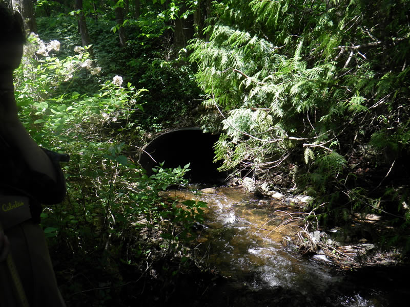
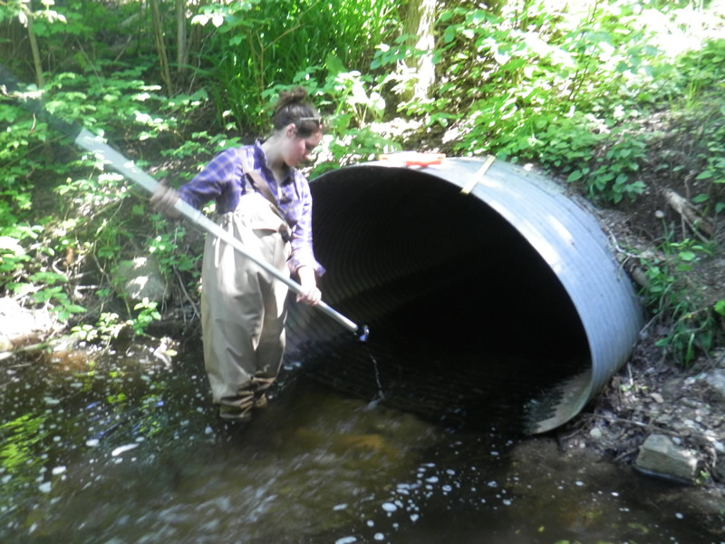
Inlet
Outlet
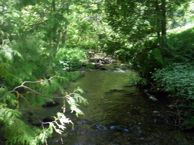
Upstream Conditions
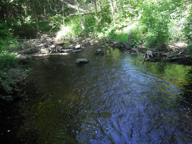
Downstream Conditions
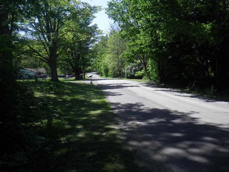
Road Approach - Left
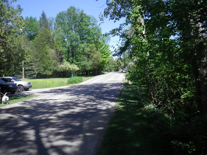
Road Approach - Right
Crossing Information
Type of Crossing: culvert(s)
Number of Structures: 1
Structure Shape: Round
Inlet Type: Projecting
Outlet Type: At Stream Grade
Structure Material: Metal
Structure Substrate: None
General Conditions: Good
Structure Interior: corrugated
Dimensions of Structure: Length 67 ft.
, Width 6 ft.
, Height 3.917 ft.
Structure Inlet
Water Depth: 0.5 ft.
Embedded Depth of Structure: 0 ft.
Water Velocity*: 2.4 ft./sec.
Structure Outlet
Water Depth: 0.43 ft.
Embedded Depth of Structure: 0 ft.
Water Velocity*: 0.8 ft./sec.
*Water Velocities were measured 0.25 ft. below Surface
(with Meter)
Additional Comments
Old site ID: TC-4.
Stream Information
Stream Flow: Less than 1/2 Bankfull
Scour Pool: Length 15 ft.
, Width 10 ft.
, Depth 2 ft.
Riffle Information
Water Depth: 0.35 ft.
Bankfull Width: 15 ft.
Wetted Width: 13 ft.
Water Velocity: 0.5 ft./sec.
(Measured with Meter)
Road Information
Paved
County Road
Road Condition: Fair
Road Width at Culvert: 30 ft.
Location of Low Point: At Stream
Runoff Path: Roadway
Embankments
Upstream
Fill Depth: 6 ft.
Slope: 1:2
Downstream
Fill Depth: 6 ft.
Slope: 1:2
Approaches
Left Approach
Length: 500 ft.
Slope: 1% to 5%
Vegetation: Heavy
LS Factor: 0.5
Erosion: 0.2479 tons/year
Right Approach
Length: 1000 ft.
Slope: 1% to 5%
Vegetation: Heavy
LS Factor: 0.57
Erosion: 0.5653 tons/year
Erosion Information
Total Erosion at Crossing: 0.8132 tons/year
Summary Information
Fish Passability 0.5
These non-native species were observerd at this site: Myrtle, Snow on the Mountain
�