Road Stream Crossing Site LTB-071
Little Traverse Bay Watershed, Tannery Creek
Surrey
Petoskey,
Emmet County
Information collected by:
Site Location
GPS Coordinates: 45.38255304
, -84.91522611
Owned by Private
Fish Passability 0.9
Total Erosion: 0.0172 tons/year
Severity: Minor
Year Inventoried: 2014
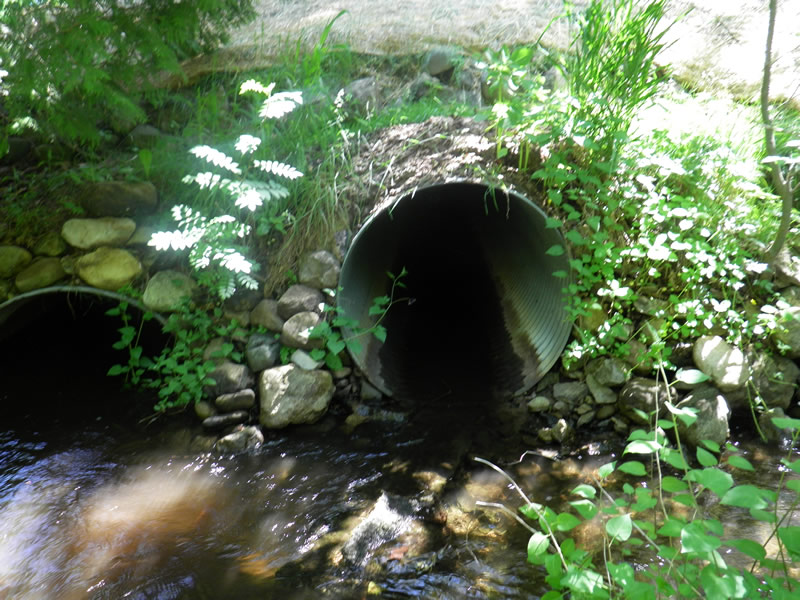
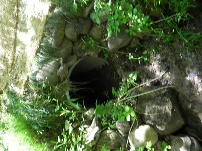
Inlet
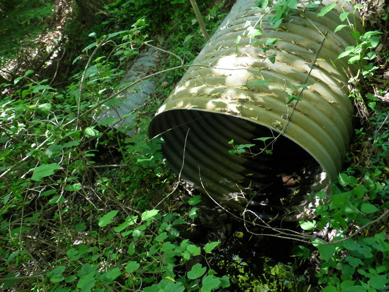
Outlet
Outlet
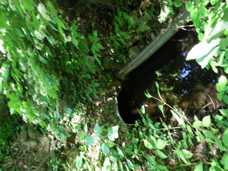
Upstream Conditions
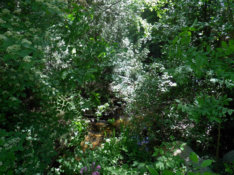
Downstream Conditions
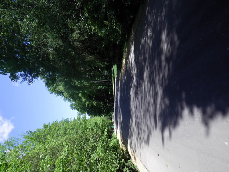
Road Approach - Left
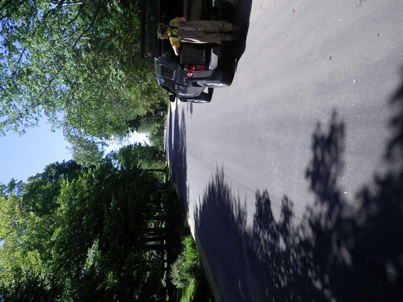
Road Approach - Right
Other
Crossing Information
Type of Crossing: culvert(s)
Number of Structures: 3
Structure Shape: Ellipse
Inlet Type: Projecting
Outlet Type: At Stream Grade
Structure Material: Metal
Structure Substrate: Rock
General Conditions: Good
Multiple Culverts/Spans | ||||
Culvert/Span | Width | Length | Height | Material |
1 |
2.83 ft. |
51.8 ft. |
3.083 ft. |
Metal |
2 |
2 ft. |
51.8 ft. |
2.25 ft. |
Metal |
3 |
2 ft. |
51.8 ft. |
2.25 ft. |
Metal |
Dimensions of Structure: Length 51.8 ft.
, Width 2.5 ft.
Structure Inlet
Water Depth: 1 ft.
Embedded Depth of Structure: 0 ft.
Water Velocity*: 0.85 ft./sec.
Structure Outlet
Water Depth: 1.167 ft.
Embedded Depth of Structure: 0.25 ft.
Water Velocity*: 0.2 ft./sec.
*Water Velocities were measured 0.6 ft. below Surface
(with Meter)
Additional Comments
826 Surrey. Old site ID: TC-3.
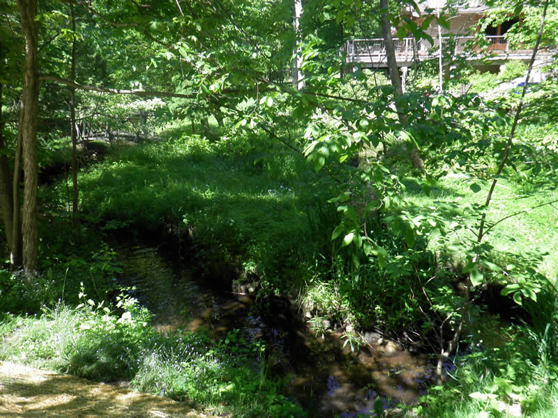
Stream Information
Stream Flow: Less than 1/2 Bankfull
Riffle Information
Water Depth: 0.5 ft.
Bankfull Width: 8.33 ft.
Wetted Width: 6.42 ft.
Water Velocity: 0.2 ft./sec.
(Measured with Meter)
Dominant Substrate: Sand
Road Information
Paved
County Road
Road Condition: Good
Road Width at Culvert: 26 ft.
Location of Low Point: Other
Runoff Path: Ditch
Embankments
Upstream
Fill Depth: 4 ft.
Slope: More than 1:2
Downstream
Fill Depth: 4 ft.
Slope: More than 1:2
Approaches
Left Approach
Length: 50 ft.
Slope: 1% to 5%
Vegetation: None
LS Factor: 0.3
Erosion: 0.0129 tons/year
Right Approach
Length: 100 ft.
Slope: Less Than 1%
Vegetation: Heavy
LS Factor: 0.05
Erosion: 0.0043 tons/year
Erosion Information
Total Erosion at Crossing: 0.0172 tons/year
Extent of Erosion: Stabilized
Summary Information
Fish Passability 0.9
�