Road Stream Crossing Site LTB-075
Little Traverse Bay Watershed, Unknown tributary
US-31
Petoskey,
Emmet County
Information collected by:
Site Location
GPS Coordinates: 45.37860374
, -84.95230457
Fish Passability 0
Perch Height: 30 ft.
Total Erosion: 0.1153 tons/year
Severity: Severe
Year Inventoried: 2014
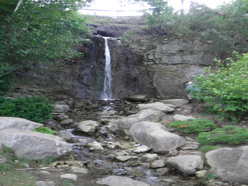
Inlet
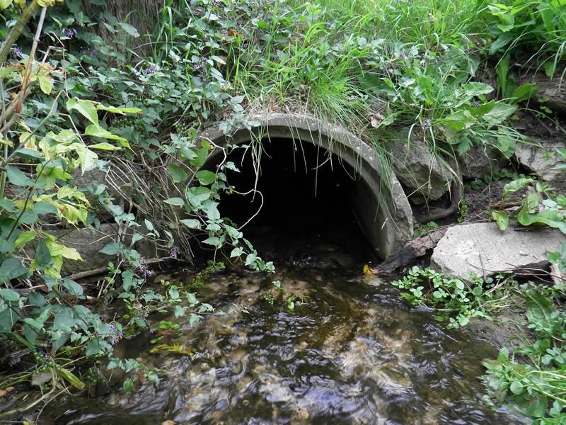
Inlet
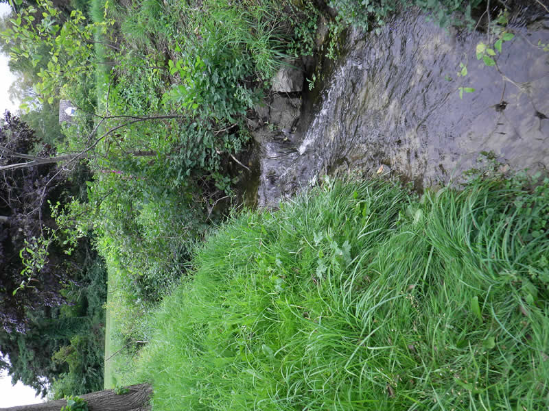
Upstream Conditions
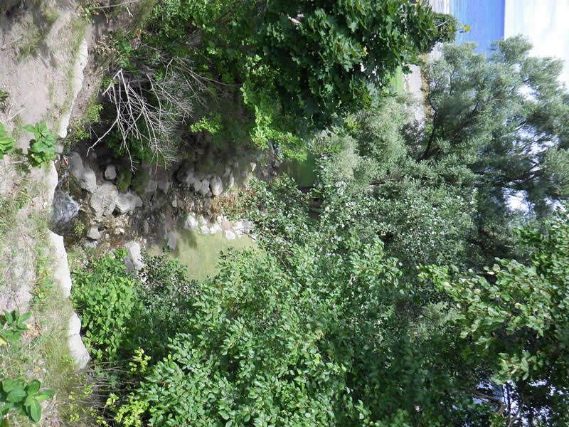
Downstream Conditions
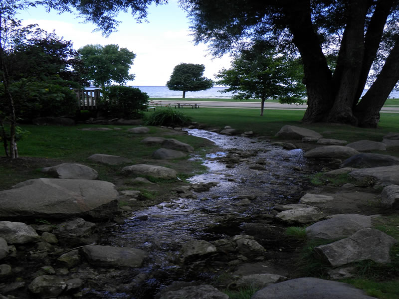
Downstream Conditions
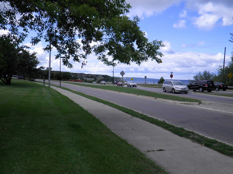
Road Approach - Left
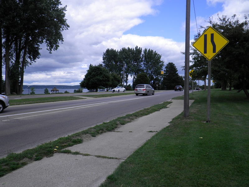
Road Approach - Right
Crossing Information
Type of Crossing: culvert(s)
Number of Structures: 1
Structure Shape: Round
Inlet Type: Projecting
Outlet Type: Freefall onto Riprap
Structure Material: Concrete
Structure Substrate: Mixture
General Conditions: Good
Structure Interior: corrugated
Dimensions of Structure: Length 112 ft.
, Width 2 ft.
, Height 1.9 ft.
Perch Height: 30 ft.
Structure Inlet
Water Depth: 0.1 ft.
Embedded Depth of Structure: 0.13 ft.
Water Velocity*: 0.55 ft./sec.
Structure Outlet
Water Depth: 0.33 ft.
Embedded Depth of Structure: 0 ft.
Water Velocity*: 1.05 ft./sec.
*Water Velocities were measured 0.06 ft. below Surface
(with Meter)
Additional Comments
Old site ID: UT-25.
Stream Information
Stream Flow: Less than 1/2 Bankfull
Riffle Information
Water Depth: 0.2 ft.
Bankfull Width: 6.33 ft.
Wetted Width: 7.167 ft.
Water Velocity: 0.3 ft./sec.
(Measured with Meter)
Dominant Substrate: Cobble
Road Information
Paved
Federal Road
Road Condition: Good
Road Width at Culvert: 60 ft.
Location of Low Point: Other
Runoff Path: Roadway
Embankments
Upstream
Fill Depth: 3 ft.
Slope: More than 1:2
Downstream
Fill Depth: 30 ft.
Slope: Vertical
Approaches
Left Approach
Length: 0 ft.
Slope: Less Than 1%
Vegetation: None
LS Factor: 0.05
Erosion: 0 tons/year
Right Approach
Length: 120 ft.
Slope: 1% to 5%
Vegetation: Partial
LS Factor: 0.41
Erosion: 0.0976 tons/year
Erosion Information
Total Erosion at Crossing: 0.1153 tons/year
Extent of Erosion: Minor
Location of Erosion | Erosion Dimensions | Eroded Material | Material Eroded | Total Erosion | ||
facing downstream | Length | Width | Depth | Reaching Stream? | (tons/year) | |
Right Downstream Embankment |
10 ft. |
5 ft. |
2 ft. |
no |
Loam |
0.0176 |
Left Upstream Streambank |
3 ft. |
1 ft. |
0.03 ft. |
yes |
Loam |
0.0001 |
Summary Information
Fish Passability 0
These non-native species were observerd at this site: Purple Loosestrife
�