Road Stream Crossing Site LTB-076
Little Traverse Bay Watershed, Unknown tributary
Arlington
Petoskey,
Emmet County
Information collected by:
Site Location
GPS Coordinates: 45.37827703
, -84.95121737
Owned by Private
Fish Passability 0
Perch Height: 1.25 ft.
Total Erosion: 4.9309 tons/year
Severity: Severe
Year Inventoried: 2014
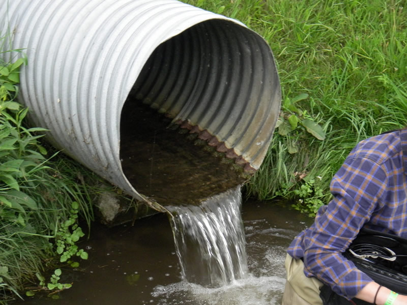
Outlet
Outlet
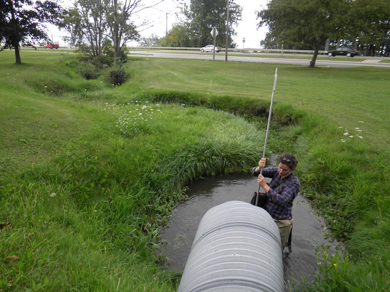
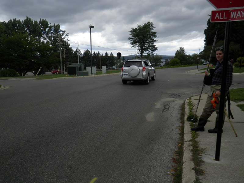
Downstream Conditions
Road Approach - Left
Road Approach - Right
Crossing Information
Type of Crossing: culvert(s)
Number of Structures: 1
Structure Shape: Round
Inlet Type: Projecting
Outlet Type: Freefall into Pool
Structure Material: Metal
Structure Substrate: Sand
General Conditions: Poor
Structure Interior: corrugated
Structure is Rusted through
Dimensions of Structure: Length 126 ft.
, Width 2.167 ft.
, Height 2.42 ft.
Percentage Plugged:
Inlet: 76% to 100%
Percentage Crushed:
Inlet: 1% to 25%
Perch Height: 1.25 ft.
Structure Inlet
Water Depth: 0.5 ft.
Embedded Depth of Structure: 1.583 ft.
Water Velocity*: 1.93 ft./sec.
Structure Outlet
Water Depth: 0.25 ft.
Embedded Depth of Structure: 0 ft.
Water Velocity*: 1.1 ft./sec.
*Water Velocities were measured 0.3 ft. below Surface
(with Meter)
Additional Comments
122 Winter Park Ln. Old site ID: E-19.
Stream Information
Stream Flow: Less than 1/2 Bankfull
Scour Pool: Length 10 ft.
, Width 8 ft.
, Depth 3.2 ft.
Riffle Information
Water Depth: 0.4 ft.
Bankfull Width: 2.83 ft.
Wetted Width: 2.67 ft.
Water Velocity: 0.55 ft./sec.
(Measured with Meter)
Dominant Substrate: Sand
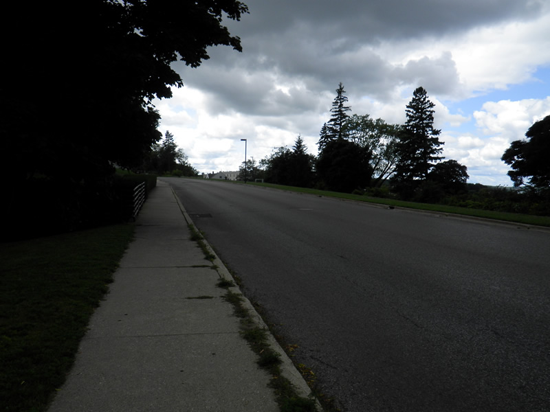
Road Information
Paved
Town Road
Road Condition: Good
Road Width at Culvert: 36 ft.
Location of Low Point: Other
Runoff Path: Roadway
Embankments
Upstream
Fill Depth: 30 ft.
Slope: Vertical
Downstream
Fill Depth: 3 ft.
Slope: More than 1:2
Approaches
Left Approach
Length: 250 ft.
Slope: 1% to 5%
Vegetation: Heavy
LS Factor: 0.44
Erosion: 0.1309 tons/year
Right Approach
Length: 0 ft.
Slope: Less Than 1%
Vegetation: Partial
LS Factor: 0.05
Erosion: 0 tons/year
Erosion Information
Total Erosion at Crossing: 4.9309 tons/year
Extent of Erosion: Severe
Erosion is occurring and corrective actions can be installed to address the problem.
Notes: pics 49, 40, 41
Location of Erosion | Erosion Dimensions | Eroded Material | Material Eroded | Total Erosion | ||
facing downstream | Length | Width | Depth | Reaching Stream? | (tons/year) | |
Right Upstream Streambank |
50 ft. |
6 ft. |
3 ft. |
yes |
Sandy Loam |
2.88 |
Left Upstream Streambank |
50 ft. |
6 ft. |
2 ft. |
yes |
Sandy Loam |
1.92 |
Summary Information
Fish Passability 0
Erosion is an area of concern for this site.
erosion pretty badly. Fish can't get through log easily. Servere erosion. Perched fast velocity at both ends
A future visit to this site is recommended. YES. Inlet in very poor condition, log blocking 90% of the inlet
�