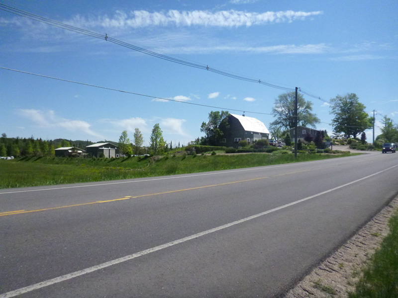
Road Stream Crossing Site LTB-080
Little Traverse Bay Watershed, Tannery Creek
Division
Bear Creek Twp,
Emmet County
Information collected by:
Site Location
GPS Coordinates: 45.36895151
, -84.92488579
Owned by Private
Fish Passability 0.9
Total Erosion: 3.6596 tons/year
Severity: Severe
Year Inventoried: 2014
Site ID
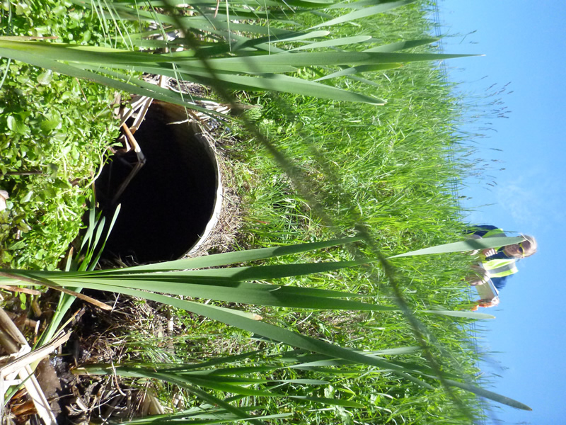
Inlet
Outlet
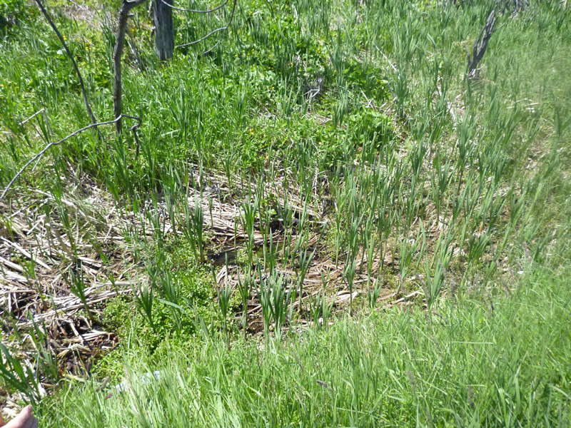
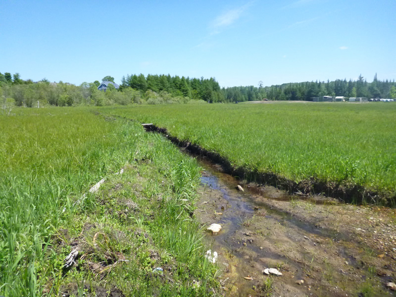
Upstream Conditions
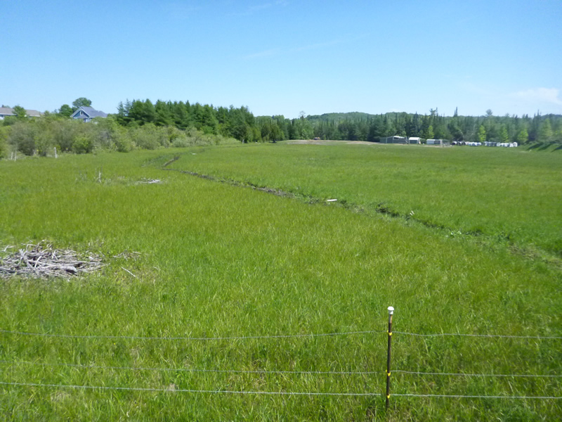
Downstream Conditions
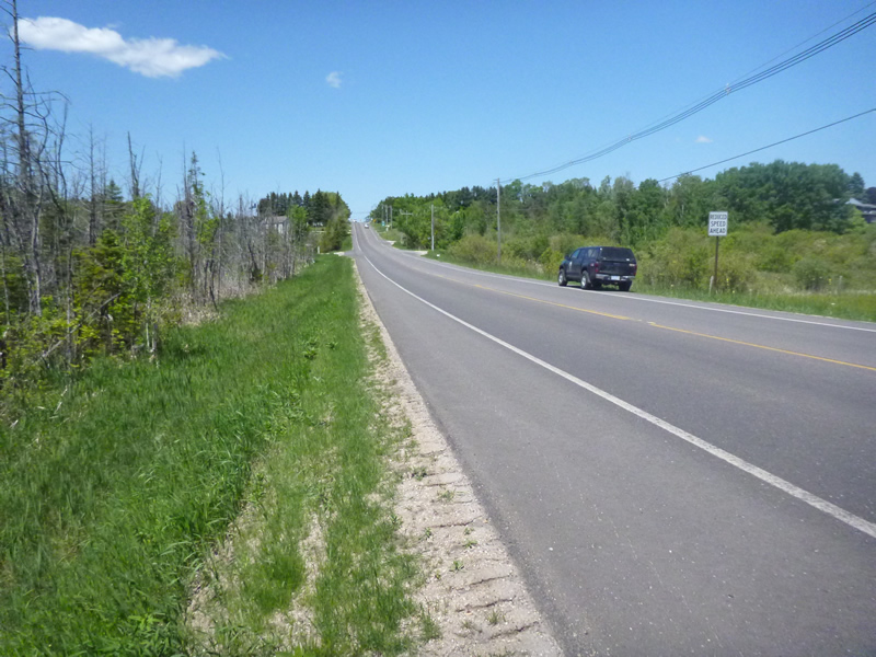
Road Approach - Left
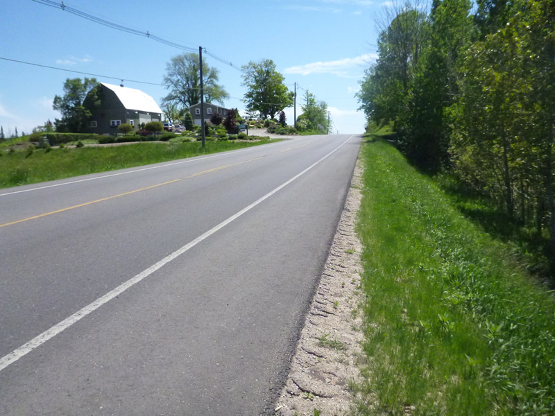
Road Approach - Right
Other
Crossing Information
Type of Crossing: culvert(s)
Number of Structures: 1
Structure Shape: Round
Inlet Type: Projecting
Outlet Type: At Stream Grade
Structure Material: Metal
Structure Substrate: Mixture
General Conditions: Fair
Structure Interior: corrugated
Dimensions of Structure: Length 50 ft.
, Width 2 ft.
, Height 2 ft.
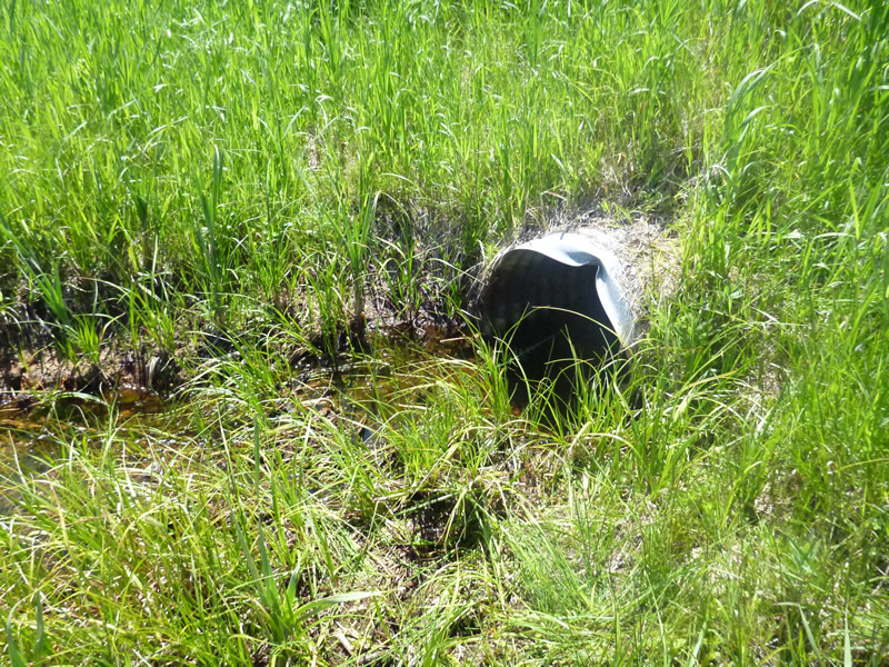
Structure Inlet
Water Depth: 0.65 ft.
Embedded Depth of Structure: 0 ft.
Water Velocity*: 0.01 ft./sec.
Structure Outlet
Water Depth: 0.5 ft.
Embedded Depth of Structure: 0.5 ft.
Water Velocity*: 0.02 ft./sec.
*Water Velocities were measured 0.39 ft. below Surface
(with Meter)
Additional Comments
Peggy Ellenberger, 647 S Division. Old site ID: TC-15.
Stream Information
Stream Flow: Less than 1/2 Bankfull
Riffle Information
Water Depth: 0.1 ft.
Bankfull Width: 50 ft.
(Measured with Meter)
Dominant Substrate: Sand
Road Information
Paved
County Road
Road Condition: Good
Road Width at Culvert: 32 ft.
Location of Low Point: Other
Runoff Path: Ditch
Embankments
Upstream
Fill Depth: 6.5 ft.
Slope: Vertical
Downstream
Fill Depth: 6.5 ft.
Slope: Vertical
Approaches
Left Approach
Length: 1000 ft.
Slope: 6% to 10%
Vegetation: Heavy
LS Factor: 2.05
Erosion: 2.1686 tons/year
Right Approach
Length: 200 ft.
Slope: 1% to 5%
Vegetation: Heavy
LS Factor: 0.43
Erosion: 0.091 tons/year
Erosion Information
Total Erosion at Crossing: 3.6596 tons/year
Extent of Erosion: Minor
Erosion is occurring and corrective actions can be installed to address the problem.
Notes: Down stream due to channelizing/excavating road side is minor
Location of Erosion | Erosion Dimensions | Eroded Material | Material Eroded | Total Erosion | ||
facing downstream | Length | Width | Depth | Reaching Stream? | (tons/year) | |
Right Downtream Ditch |
50 ft. |
3 ft. |
4 ft. |
no |
Sand |
0.22 |
Left Downstream Ditch |
50 ft. |
3 ft. |
4 ft. |
no |
Sand |
0.22 |
Left Downstream Streambank |
500 ft. |
3 ft. |
1 ft. |
yes |
Sandy Loam |
0.48 |
Right Downstream Streambank |
500 ft. |
3 ft. |
1 ft. |
yes |
Sandy Loam |
0.48 |
Summary Information
Fish Passability 0.9
�