Road Stream Crossing Site LTB-081
Little Traverse Bay Watershed, Tannery Creek
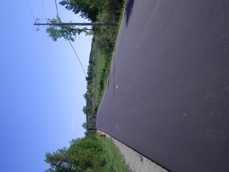
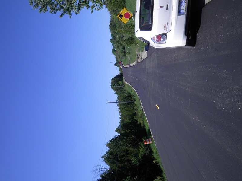
Boyer Rd
Bear Creek Twp,
Emmet County
Information collected by:
Site Location
GPS Coordinates: 45.37918029
, -84.90395256
Fish Passability 0.5
Total Erosion: 1.1296 tons/year
Severity: Moderate
Year Inventoried: 2014
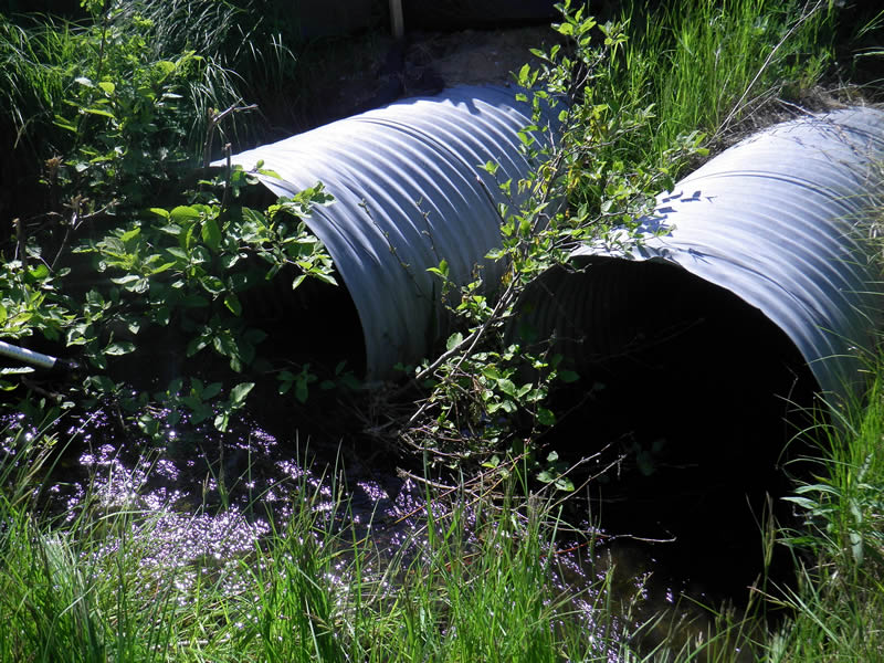
Inlet
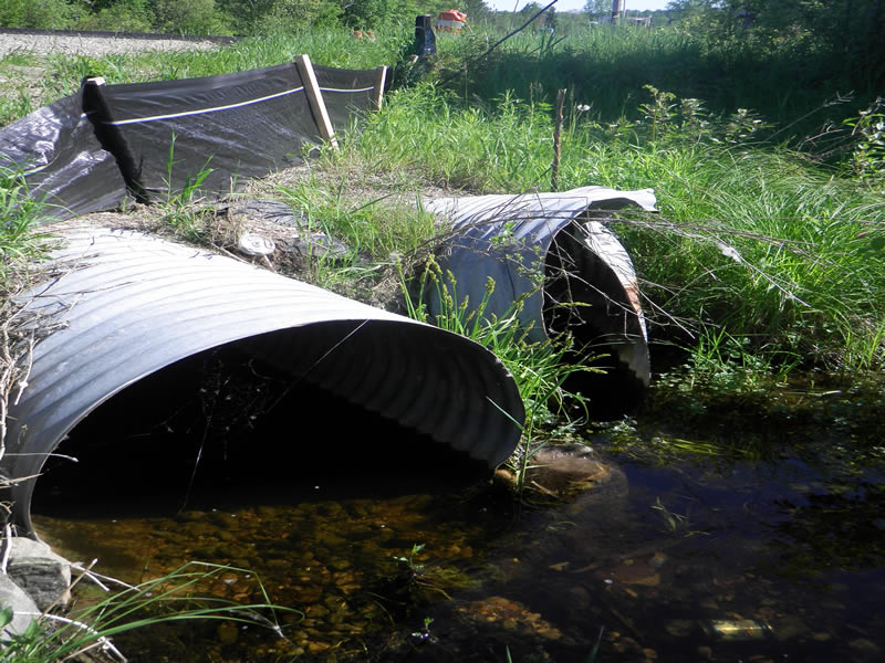
Outlet
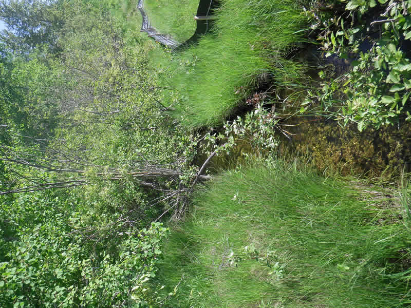
Upstream Conditions
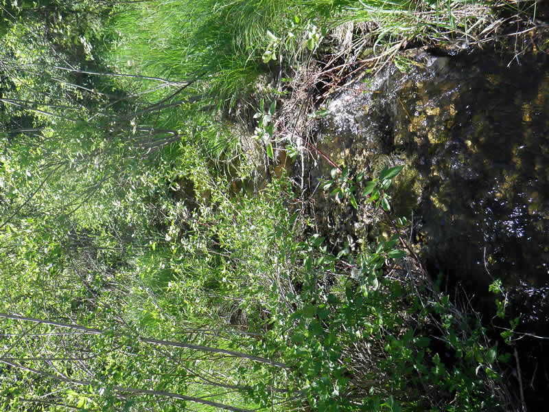
Downstream Conditions
Road Approach - Left
Road Approach - Right
Crossing Information
Type of Crossing: culvert(s)
Number of Structures: 2
Structure Shape: Round
Inlet Type: Projecting
Outlet Type: At Stream Grade
Structure Material: Metal
Structure Substrate: None
General Conditions: Good
Structure Interior: corrugated
Dimensions of Structure: Length 78 ft.
, Width 1.16 ft.
, Height 2.67 ft.
Percentage Plugged:
Inlet: 1% to 25%
Percentage Crushed:
Outlet: 26% to 50%
Structure Inlet
Water Depth: 0.5 ft.
Water Velocity*: 2.2 ft./sec.
Structure Outlet
Water Depth: 0.67 ft.
Embedded Depth of Structure: 0.083 ft.
Water Velocity*: 0.4 ft./sec.
*Water Velocities were measured 0.25 ft. below Surface
(with Meter)
Additional Comments
Old site ID: TC-2.
Stream Information
Stream Flow: Less than 1/2 Bankfull
Riffle Information
Water Depth: 0.56 ft.
Bankfull Width: 4.83 ft.
Wetted Width: 5.17 ft.
Water Velocity: 1.3 ft./sec.
(Measured with Meter)
Dominant Substrate: Cobble
Road Information
Paved
County Road
Road Condition: Good
Road Width at Culvert: 51 ft.
Location of Low Point: At Stream
Runoff Path: Ditch
Embankments
Upstream
Fill Depth: 2.5 ft.
Slope: 1:1.5
Downstream
Approaches
Left Approach
Length: 500 ft.
Slope: 1% to 5%
Vegetation: Heavy
LS Factor: 0.5
Erosion: 0.4215 tons/year
Right Approach
Length: 300 ft.
Slope: 6% to 10%
Vegetation: Heavy
LS Factor: 1.4
Erosion: 0.7081 tons/year
Erosion Information
Total Erosion at Crossing: 1.1296 tons/year
Summary Information
Fish Passability 0.5
�